The above table gives the weather forecast for Serfaus at the specific elevation of 2820 m. Our sophisticated weather models allow us to provide snow forecasts for the top, middle and bottom ski stations of Serfaus. To access the weather forecasts for the other elevations, use the tab navigation above the table. For a wider view of the weather, check out the Weather Map of Austria.
Click here to read further information on freezing levels and how we forecast our temperatures.
Serfaus/Fiss/Ladis is for me the place to be!
I'm going there for several years now and it keeps me surprising with their modern infrastructure and awesome village.
Every year you can expect something new and the kindness of the people there is fabulous.
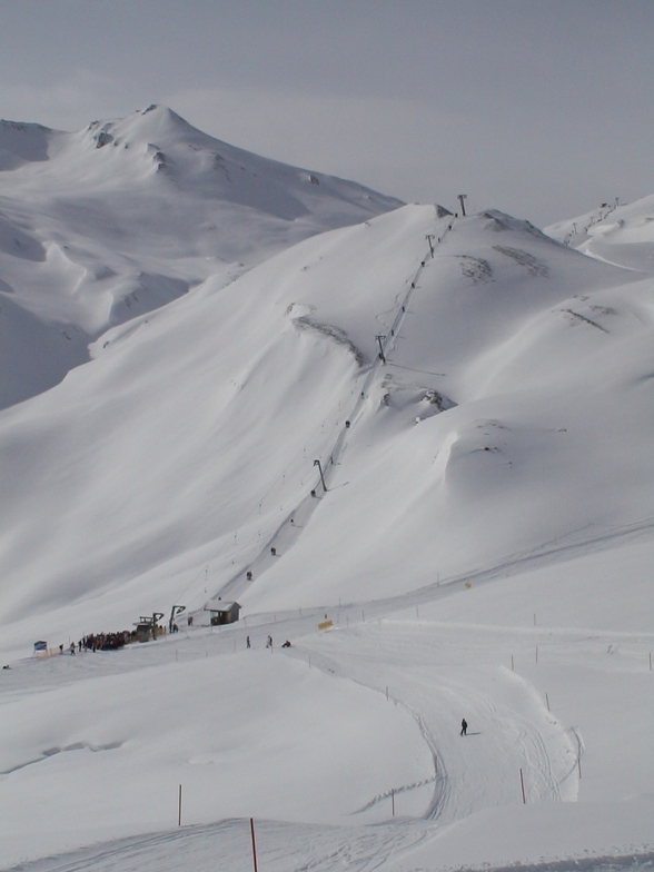
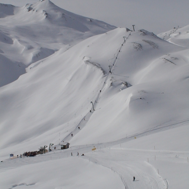
You can hit from small to big pistes and from easy to maximum extreme.
Plansegg, Frommes, Mittelabfarht and Gampen are my personal favourites.
Also, for the snowboarders like me it is very nice, the park keeps on growing and the shapers do their best to create a high quality park.
Pistes, food, kindness, hotels, infrastructure, they all fit perfectly together.
Thumbs up Serfaus/Fiss/ladis, you've got me hooked up! :-)
Serfaus/Fiss/Ladis is for me the place to be!
I'm going there for several years now and it keeps me surprising with their modern infrastructure and awesome village.
Every year you can expect something new and the kindness of the people there is fabulous.
You can hit from small to big pistes and from easy to maximum extreme.
Plansegg, Frommes, Mittelabfarht and Gampen are my personal favourites.
Also, for the snowboarders like me it is very nice, the park keeps on growing and the shapers do their best to create a high quality park.
Pistes, food, kindness, hotels, infrastructure, they all fit perfectly together.
Thumbs up Serfaus/Fiss/ladis, you've got me hooked up! :-)
Free Snow-Forecast.com weather widget for your website
Embed the Serfaus weather widget on your site for free. It provides a weekly snapshot of snow and rain conditions across all elevations. Follow the two quick steps to grab your custom code and paste it into your site. Choose between metric or imperial units. Click here to get the code.


 Nearest