Mild with heavy rain (total 77.0mm), heaviest during Tue night. Becoming colder with a moderate fall of snow heaviest on Thu morning. Freeze-thaw conditions (max 8°C on Tue morning, min 0°C on Thu afternoon). Wind will be generally light.
Days 4-6 weather summary:
A heavy fall of snow, heaviest during Sun morning. Becoming milder with light rain (total 6.0mm) on Sun morning. Freeze-thaw conditions (max 3°C on Sat night, min 0°C on Fri morning). Wind will be generally light.
Light rain reported from Sion at 339 metres elevation only 4 kms NNE of Haute Nendaz but it is forecast cold enough for snow at higher elevations in the ski area from Haute Nendaz
45km away from Samoens
4 hours ago
Moderate rain reported from Sion at 339 metres elevation only 4 kms NNE of Haute Nendaz but it is forecast cold enough for snow at higher elevations in the ski area from Haute Nendaz
49km away from Samoens
6 hours ago
Moderate rain reported from Sion at 339 metres elevation 5 kms WNW of Thyon-Printze but it is forecast cold enough for snow at higher elevations in the ski area from Thyon-Printze
13km away from Samoens
7 hours ago
Snow is falling at altitude in Avoriaz. from Avoriaz
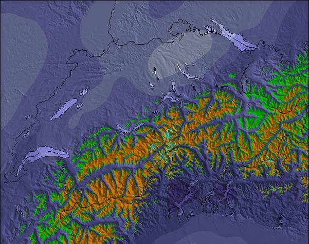
The above table gives the weather forecast for Samoens at the specific elevation of 1469 m. Our sophisticated weather models allow us to provide snow forecasts for the top, middle and bottom ski stations of Samoens. To access the weather forecasts for the other elevations, use the tab navigation above the table. For a wider view of the weather, check out the Weather Map of France.
Click here to read further information on freezing levels and how we forecast our temperatures.
There has been huge investment in the Grand Massif lift system over the last few seasons which continues. This has opened up new ski slopes and is helping to reduce queues at previous bottlenecks.
Yes, half-term is busy but isn’t everywhere in France and Italy during these periods.
This is such an extensive ski area close to Geneva and it’s very possible to drive to Les Gets and ski the Portes de Soleil and Chamonix if you wish.
A really pretty typical working French village with lots for non-skiers to do with lovely valley walks and an extensive animation programme during the season.
Yes, the lift to 1600 can get busy especially if there are lots of skiers coming for the day from Geneva on the weekend. However, there are plans to build a new lift to alleviate this in the next few years.
We have been coming here for 23 years and still love it today.
We’ve seen many changes, most for the better and yes, a few more manners from some wouldn’t go amiss but the same can be said for all nationalities.
We’ll keep returning especially for the skiing and amazing summer.
Free Snow-Forecast.com weather widget for your website
Embed the Samoens weather widget on your site for free. It provides a weekly snapshot of snow and rain conditions across all elevations. Follow the two quick steps to grab your custom code and paste it into your site. Choose between metric or imperial units. Click here to get the code.

 ski hire exclusive discount





 Snow
 Hourly & 16-day forecasts



 Sign up or Login to access
 Upload new photo

 Nearest