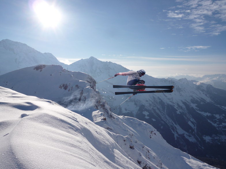


Global Weekly Snow Roundup #320
Weekly Snow News for the world, updated 25 June 2026: Chile and New Zealand's seasons proper set to begin, Tignes and Sunshine reopen for summer skiing. weekend as Riksgransen ends its 2026 season.

Next 3 days weather summary:Heavy rain (total 39.0mm), heaviest during Mon night. Warm (max 24°C on Sun afternoon, min 13°C on Mon night). Wind will be generally light. | Days 4-6 weather summary:Some drizzle, heaviest during Wed afternoon. Warm (max 22°C on Thu afternoon, min 10°C on Wed night). Wind will be generally light. | ||||||||||||||||
Sun 28 | Monday 29 | Tuesday 30 | Wednesday 1 | Thursday 2 | Friday 3 | ||||||||||||
PM | night | AM | PM | night | AM | PM | night | AM | PM | night | AM | PM | night | AM | PM | night | |
t-storm risk | rain shwrs | t-storm risk | mod. rain | rain shwrs | some clouds | mod. rain | rain shwrs | some clouds | light rain | clear | clear | clear | clear | clear | clear | clear | |
km/h | |||||||||||||||||
Snow map |  |  |  |  |  |  | |||||||||||
— | — | — | — | — | — | — | — | — | — | — | — | — | — | — | — | — | |
mm | 2 | 5 | 2 | 8 | 9 | — | 8 | 5 | — | 1 | — | — | — | — | — | — | — |
max °C | 24 | 20 | 22 | 24 | 15 | 21 | 20 | 17 | 19 | 21 | 18 | 18 | 22 | 19 | 18 | 20 | 18 |
min °C | 24 | 15 | 18 | 18 | 13 | 17 | 19 | 13 | 15 | 20 | 10 | 14 | 21 | 11 | 14 | 20 | 11 |
chill °C | 24 | 15 | 18 | 18 | 13 | 17 | 19 | 13 | 15 | 20 | 10 | 14 | 21 | 11 | 14 | 20 | 11 |
Humid % | 40 | 65 | 51 | 81 | 64 | 52 | 77 | 85 | 71 | 51 | 85 | 58 | 50 | 72 | 50 | 41 | 60 |
Freeze m | 4700 | 4450 | 4450 | 4250 | 4450 | 4350 | 4400 | 4350 | 4100 | 4300 | 4300 | 4200 | 4400 | 4300 | 3800 | 4100 | 4250 |
— | — | 5:46 | — | — | 5:46 | — | — | 5:47 | — | — | 5:47 | — | — | 5:48 | — | — | |
— | 9:24 | — | — | 9:24 | — | — | 9:24 | — | — | 9:24 | — | — | 9:24 | — | — | 9:23 | |
Go pro and carve into:
Avalanche information: European Avalanche Warning Services (EAWS)
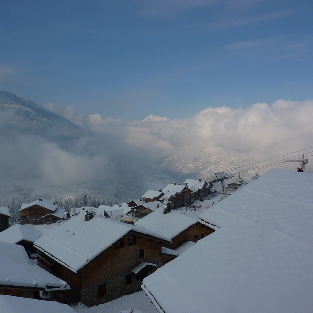
Latest snow reports near Sainte Foy:
| Top snow depth: | 0 cm |
|---|---|
| Bottom snow depth: | 0 cm |
| Fresh snowfall depth: | — |
| Last snowfall: | 18 May 2026 |
| Snow Alerts | Create Alert |
0.0 | Bluebird Powder days Fresh snow, mostly sunny, light wind. |
|---|---|
0.0 | Powder days Fresh snow, limited sun, any wind. |
0.0 | Bluebird days Average snow, mostly sunny, light wind. |

The above table gives the weather forecast for Sainte Foy at the specific elevation of 1545 m. Our sophisticated weather models allow us to provide snow forecasts for the top, middle and bottom ski stations of Sainte Foy. To access the weather forecasts for the other elevations, use the tab navigation above the table. For a wider view of the weather, check out the Weather Map of France.
Click here to read further information on freezing levels and how we forecast our temperatures.
Overall 3.9 Based on 58 votes and 57 reviews
Went to St Foy over half-term. Extremely disappointed. Of the 4 chair lifts 1 closed most of the week, pistes not always groomed and sometimes poorly groomed, zero night life and basically after 1 day you have skied the lot. Not again Bob
Bob Haris from United Kingdom writes:
Went to St Foy over half-term. Extremely disappointed. Of the 4 chair lifts 1 closed most of the week, pistes not always groomed and sometimes poorly groomed, zero night life and basically after 1 day you have skied the lot.
Not again
Bob


 Nearest