Light rain (total 6.0mm), mostly falling on Fri night. Very mild (max 16°C on Sun afternoon, min 10°C on Fri night). Winds decreasing (strong winds from the WSW on Fri night, calm by Sun night).
Days 5-7 weather summary:
Light rain (total 9.0mm), mostly falling on Tue night. Very mild (max 16°C on Tue afternoon, min 11°C on Tue night). Wind will be generally light.
The above table gives the weather forecast for Saint-Sorlin d'Arves (Les Sybelles) at the specific elevation of 2619 m. Our sophisticated weather models allow us to provide snow forecasts for the top, middle and bottom ski stations of Saint-Sorlin d'Arves (Les Sybelles). To access the weather forecasts for the other elevations, use the tab navigation above the table. For a wider view of the weather, check out the Weather Map of France.
Click here to read further information on freezing levels and how we forecast our temperatures.
Visitor Reviews of Saint-Sorlin d'Arves (Les Sybelles)
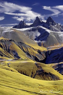
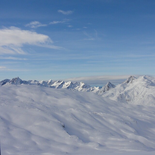
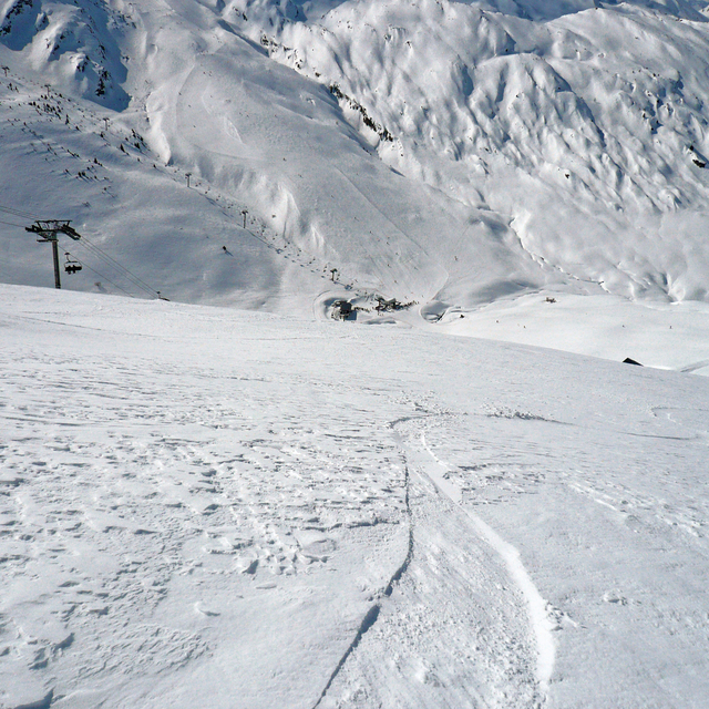
Saint Sorlin d'Arves is the best of the villages that make up the area of Les Sybelles. It is a great find because the slopes are uncrowded and there is plenty of skiing, 310 km across the whole region. What is so lovely about the area is that it is very French and not too popular yet with the British. It has plenty of blue and green runs and is great for intermediate skiers. There is also lots of off-piste which makes it fun too. St Sorlin is a village, so not like the bigger resorts but has plenty of restaurants, a disco and now a bowling alley. It is fantastic for families and not as expensive as other French resorts. Visit before it gets discovered!
Visitor Reviews of Saint-Sorlin d'Arves (Les Sybelles)
Overall: 3.9 Based on 11 votes and 7 reviews
Snowsure 4.3
Variety of pistes 4.3
Off-piste 4.2
Scenery 3.9
Apres-Ski 3.7
Caroline cleaver from France writes:
Saint Sorlin d'Arves is the best of the villages that make up the area of Les Sybelles. It is a great find because the slopes are uncrowded and there is plenty of skiing, 310 km across the whole region. What is so lovely about the area is that it is very French and not too popular yet with the British. It has plenty of blue and green runs and is great for intermediate skiers. There is also lots of off-piste which makes it fun too. St Sorlin is a village, so not like the bigger resorts but has plenty of restaurants, a disco and now a bowling alley. It is fantastic for families and not as expensive as other French resorts. Visit before it gets discovered!
Free Snow-Forecast.com weather widget for your website
Embed the Saint-Sorlin d'Arves (Les Sybelles) weather widget on your site for free. It provides a weekly snapshot of snow and rain conditions across all elevations. Follow the two quick steps to grab your custom code and paste it into your site. Choose between metric or imperial units. Click here to get the code.


 Nearest