Next snow in Røldal: 0.1cm on Sun 2nd (after 9 PM local time)
View forecast
Røldalat 1300 m altitude
Issued by Snow-Forecast.com at:7 pm (local time) / 01 Aug 2026
Last 6 daysScroll left for last 6 daysNow
Next 4 days weather summary:
Heavy rain (total 30.0mm), heaviest during Tue afternoon. Mild temperatures (max 7°C on Tue morning, min 2°C on Sun night). Wind will be generally light.
Days 5-7 weather summary:
Heavy rain (total 35.0mm), heaviest during Wed night. Very mild (max 10°C on Wed afternoon, min 6°C on Thu night). Wind will be generally light.
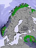
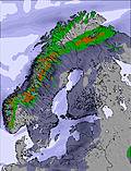
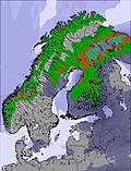
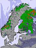
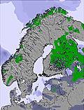
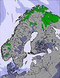
The above table gives the weather forecast for Røldal at the specific elevation of 1300 m. Our sophisticated weather models allow us to provide snow forecasts for the top, middle and bottom ski stations of Røldal. To access the weather forecasts for the other elevations, use the tab navigation above the table. For a wider view of the weather, check out the Weather Map of Norway.
Click here to read further information on freezing levels and how we forecast our temperatures.
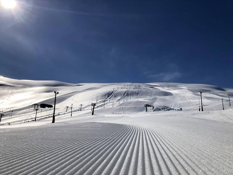
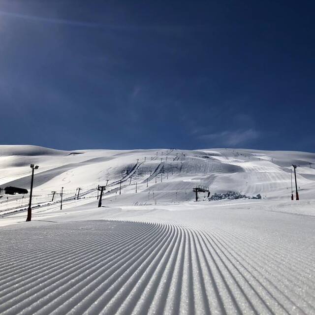
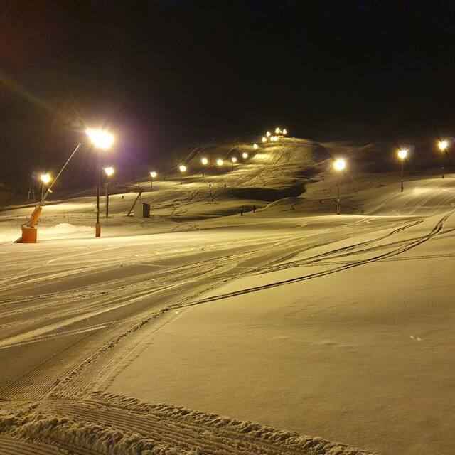
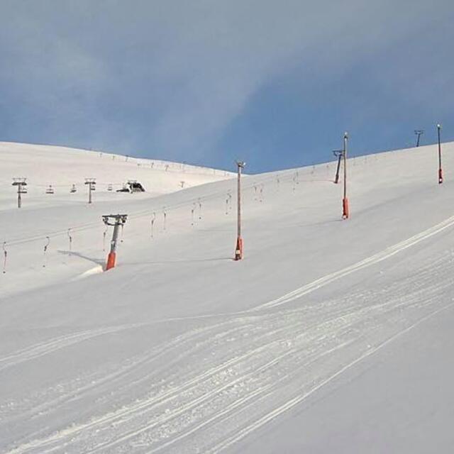
Røldal is usually called Norways Chamonix. It is not because of the lifts (which where updated for the 07/08 season) but the massive amounts of snow. This season there was 5 meters at most (3 meters in the bottom) and many days of wonderful powder skiing. The reason for these massive amounts of snow is that it is situated on the west coast of Norway and we get a lot of rain. During the winter most of this falls as snow in Røldal. There never comes small dumps, but large ones, from 20 - 50 centimeters.
The new lift has increased capacity considerably, by as much as 62%, which has eliminated most queuing problems, even in the weekends. The site is huge, and usually no rocks are visible, neither trees (due to the height) so one can ski without interruption. The weather can be very difficult sometimes, but when the sun appears it is a wonder to look at! Cloudy weather can make the eyesight small, but if you know you can ski it is not a problem. Temperature is stable below -5 for most of the winter, but can fall down to as much as -30 celcius.
For experienced skiers this is heaven. There are massive challenges, though I get enough powder from the ski center! For families and beginners they have many slack slopes and beginners lifts. It increases in popularity ever year, so be early if you need a place to stay. If you ever visit the west coast of Norway, you should definitly try a day (or more) in Røldal. The road up is expanded and enables you to see massive scenarios of nature. See you there!
Free Snow-Forecast.com weather widget for your website
Embed the Røldal weather widget on your site for free. It provides a weekly snapshot of snow and rain conditions across all elevations. Follow the two quick steps to grab your custom code and paste it into your site. Choose between metric or imperial units. Click here to get the code.


 Nearest