

Global Weekly Snow Roundup #320
Weekly Snow News for the world, updated 25 June 2026: Chile and New Zealand's seasons proper set to begin, Tignes and Sunshine reopen for summer skiing. weekend as Riksgransen ends its 2026 season.

Next 3 days weather summary:Heavy rain (total 20.0mm), heaviest during Mon night. Warm (max 22°C on Sat afternoon, min 11°C on Mon night). Wind will be generally light. | Days 4-6 weather summary:Light rain (total 2.0mm), mostly falling on Tue afternoon. Very mild (max 18°C on Tue afternoon, min 10°C on Wed night). Wind will be generally light. | |||||||||||||||||
Saturday 27 | Sunday 28 | Monday 29 | Tuesday 30 | Wednesday 1 | Thursday 2 | |||||||||||||
AM | PM | night | AM | PM | night | AM | PM | night | AM | PM | night | AM | PM | night | AM | PM | night | |
clear | clear | clear | clear | t-storm risk | rain shwrs | cloudy | mod. rain | rain shwrs | clear | t-storm risk | rain shwrs | clear | some clouds | clear | clear | clear | clear | |
km/h | ||||||||||||||||||
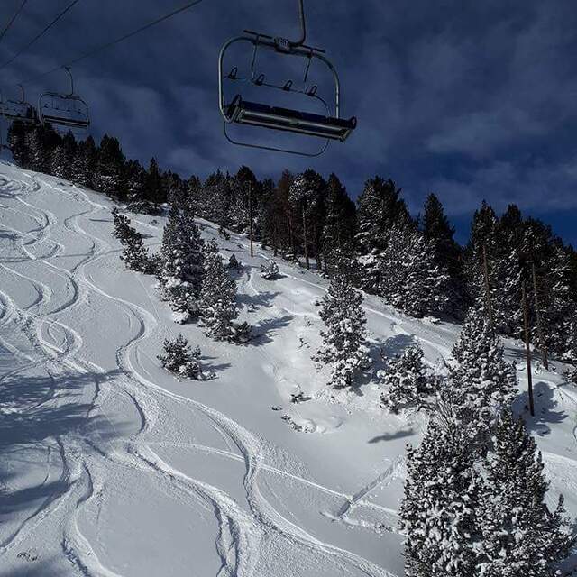
Snow map | 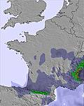 | 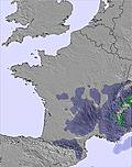 |  |  |  |  | ||||||||||||
— | — | — | — | — | — | — | — | — | — | — | — | — | — | — | — | — | — | |
mm | — | — | — | — | 1 | 2 | — | 7 | 10 | — | 1 | 1 | — | — | — | — | — | — |
max °C | 19 | 22 | 20 | 20 | 21 | 18 | 16 | 17 | 12 | 15 | 18 | 15 | 15 | 17 | 14 | 15 | 18 | 16 |
min °C | 16 | 21 | 16 | 17 | 21 | 12 | 12 | 14 | 11 | 12 | 17 | 12 | 12 | 17 | 10 | 12 | 17 | 12 |
chill °C | 16 | 21 | 16 | 17 | 21 | 12 | 12 | 14 | 11 | 12 | 17 | 11 | 12 | 17 | 9 | 11 | 17 | 11 |
Humid % | 29 | 34 | 46 | 41 | 40 | 76 | 60 | 77 | 85 | 62 | 69 | 87 | 64 | 59 | 73 | 37 | 44 | 60 |
Freeze m | 4700 | 4700 | 4650 | 4600 | 4650 | 4350 | 4150 | 4200 | 4300 | 4200 | 4450 | 4500 | 4550 | 4500 | 4700 | 4600 | 4650 | 4750 |
6:16 | — | — | 6:16 | — | — | 6:16 | — | — | 6:18 | — | — | 6:18 | — | — | 6:18 | — | — | |
— | — | 9:34 | — | — | 9:34 | — | — | 9:34 | — | — | 9:34 | — | — | 9:34 | — | — | 9:32 | |
Go pro and carve into:
Avalanche information: European Avalanche Warning Services (EAWS)
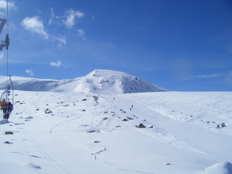
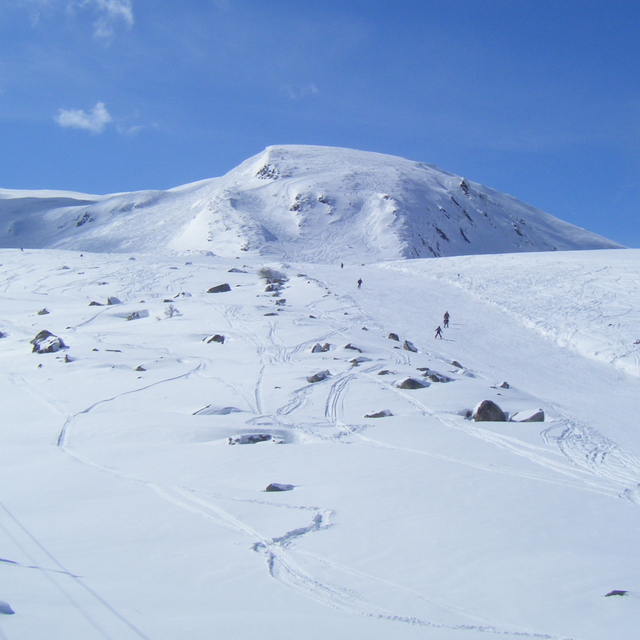
Latest snow reports near Porté Puymorens:
| Top snow depth: | 0 cm |
|---|---|
| Bottom snow depth: | 0 cm |
| Fresh snowfall depth: | — |
| Last snowfall: | 17 May 2026 |
| Snow Alerts | Create Alert |
0.0 | Bluebird Powder days Fresh snow, mostly sunny, light wind. |
|---|---|
0.0 | Powder days Fresh snow, limited sun, any wind. |
0.0 | Bluebird days Average snow, mostly sunny, light wind. |

The above table gives the weather forecast for Porté Puymorens at the specific elevation of 2036 m. Our sophisticated weather models allow us to provide snow forecasts for the top, middle and bottom ski stations of Porté Puymorens. To access the weather forecasts for the other elevations, use the tab navigation above the table. For a wider view of the weather, check out the Weather Map of France.
Click here to read further information on freezing levels and how we forecast our temperatures.
Resort name is also written as Porte Puymorens.
Overall 3.3 Based on 15 votes and 1 review
Porte (Porté Puymorens) is a great little station if you don't like crowds. There is plenty of off-piste action and an excellent snowpark. It gets really cold (n/nw facing) so wrap up warm! One of my favourite places to go boarding 'though don't expect high class food! The cafeteria is adequate at best.
Shaun McGuinness from France writes:
Porte (Porté Puymorens) is a great little station if you don't like crowds. There is plenty of off-piste action and an excellent snowpark. It gets really cold (n/nw facing) so wrap up warm! One of my favourite places to go boarding 'though don't expect high class food! The cafeteria is adequate at best.


 Nearest