The above table gives the weather forecast for Pelvoux-La Vallouise at the specific elevation of 2301 m. Our sophisticated weather models allow us to provide snow forecasts for the top, middle and bottom ski stations of Pelvoux-La Vallouise. To access the weather forecasts for the other elevations, use the tab navigation above the table. For a wider view of the weather, check out the Weather Map of France.
Click here to read further information on freezing levels and how we forecast our temperatures.
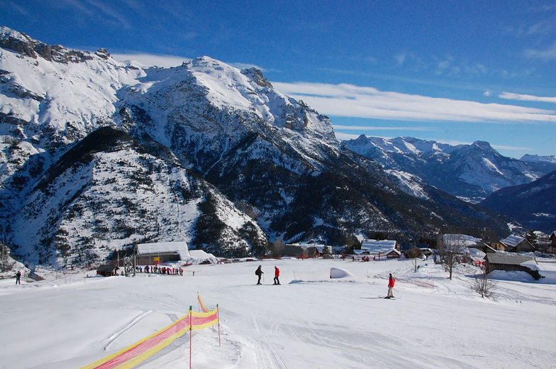
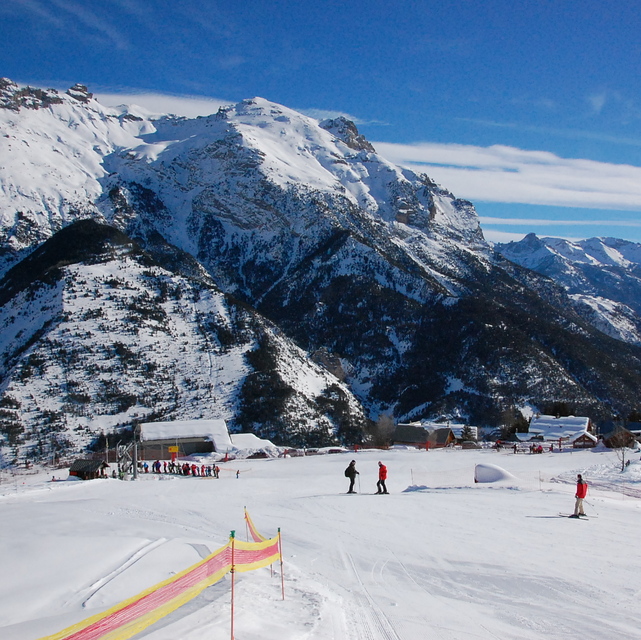
A little known resort, not far from the larger Serre Chervalier, but with pistes that are well looked after and are enough to keep a family occupied for one weeks beginner/intermediate skiing - fantastic off-piste and ski-touring. There is a second resort 10 minutes away - Puy St Vincent, which is excellent for all levels of skier(see the reviews already written) should you need more variety. The prices are lower than the big resorts and it is much more aimed at families than party animals. If you want to know more ask Alpbase.com they have a great set up renting chalets and apartments (I stayed with them in 2006/7) and will look after you very well. The valley is worth visiting in summer as well!
A little known resort, not far from the larger Serre Chervalier, but with pistes that are well looked after and are enough to keep a family occupied for one weeks beginner/intermediate skiing - fantastic off-piste and ski-touring. There is a second resort 10 minutes away - Puy St Vincent, which is excellent for all levels of skier(see the reviews already written) should you need more variety. The prices are lower than the big resorts and it is much more aimed at families than party animals. If you want to know more ask Alpbase.com they have a great set up renting chalets and apartments (I stayed with them in 2006/7) and will look after you very well. The valley is worth visiting in summer as well!
Free Snow-Forecast.com weather widget for your website
Embed the Pelvoux-La Vallouise weather widget on your site for free. It provides a weekly snapshot of snow and rain conditions across all elevations. Follow the two quick steps to grab your custom code and paste it into your site. Choose between metric or imperial units. Click here to get the code.


 Nearest