The above table gives the weather forecast for Oz en Oisans at the specific elevation of 1349 m. Our sophisticated weather models allow us to provide snow forecasts for the top, middle and bottom ski stations of Oz en Oisans. To access the weather forecasts for the other elevations, use the tab navigation above the table. For a wider view of the weather, check out the Weather Map of France.
Click here to read further information on freezing levels and how we forecast our temperatures.
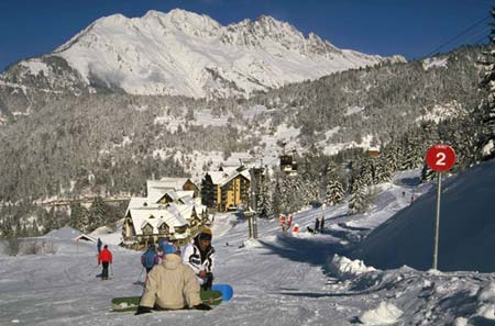
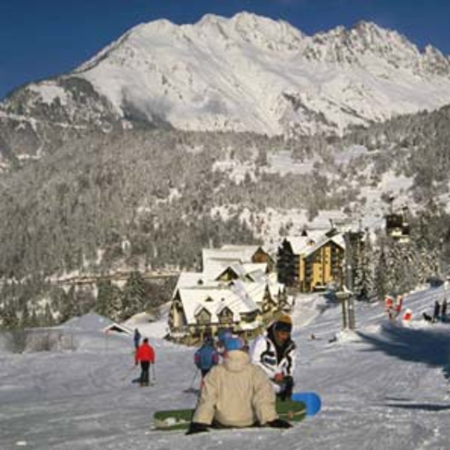
My family and I have been to this resort many times. We have 3 children aged 13,11 and 9. They have all learnt to ski at the ESF which is second to none. Small but quality selection of bars and restaurant, supermarket, bakery, a cheese shop. Lovely pedestrianised purpose-built resort (but with a very traditional feel). Excellent access to Alpes d'Huez Grande Domaine and contrary to other reports we have skied here at Easter and the snow is great due to the proximity to the glacier keeping temperatures lower than average. Oz stays open later in the season than many resorts because of this. Go, you won't regret it.
My family and I have been to this resort many times. We have 3 children aged 13,11 and 9. They have all learnt to ski at the ESF which is second to none. Small but quality selection of bars and restaurant, supermarket, bakery, a cheese shop. Lovely pedestrianised purpose-built resort (but with a very traditional feel). Excellent access to Alpes d'Huez Grande Domaine and contrary to other reports we have skied here at Easter and the snow is great due to the proximity to the glacier keeping temperatures lower than average. Oz stays open later in the season than many resorts because of this. Go, you won't regret it.
Free Snow-Forecast.com weather widget for your website
Embed the Oz en Oisans weather widget on your site for free. It provides a weekly snapshot of snow and rain conditions across all elevations. Follow the two quick steps to grab your custom code and paste it into your site. Choose between metric or imperial units. Click here to get the code.


 Nearest