The above table gives the weather forecast for Neustift at the specific elevation of 1000 m. Our sophisticated weather models allow us to provide snow forecasts for the top, middle and bottom ski stations of Neustift. To access the weather forecasts for the other elevations, use the tab navigation above the table. For a wider view of the weather, check out the Weather Map of Austria.
Click here to read further information on freezing levels and how we forecast our temperatures.
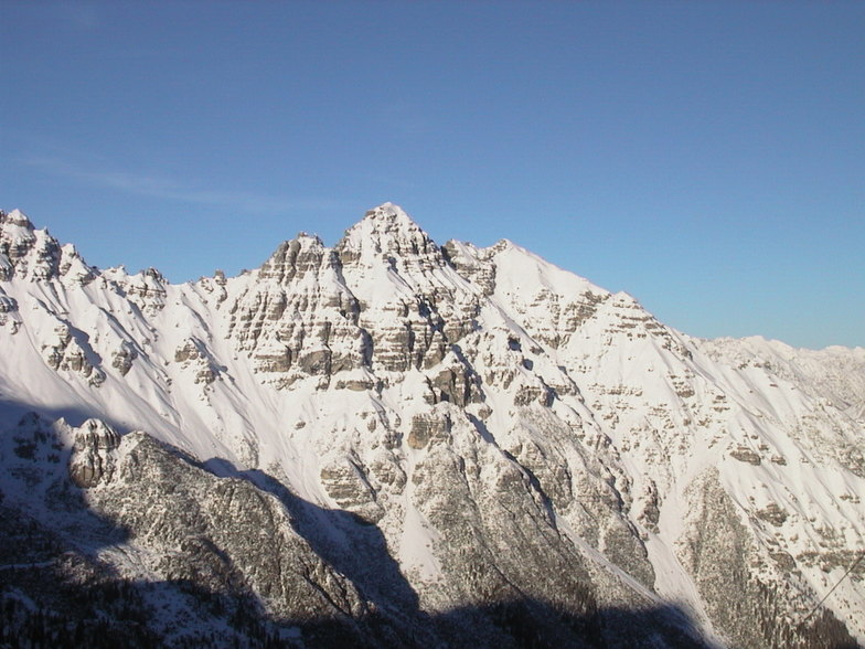
What a wonderful place!
The beautiful and bountiful dirndles abound laden with lots of plentiful beers in the summer fests and the winter is apres heaven for the one beat tub thumping German visitors at Neustift.
Family friendly all year round and wonderful scenery and hinking in the summer, no wonder so many football teams come here for their summer training (ajax,genoa etc..) My favourite valley in the winter with a local all off-piste is accessable and plentiful with untouched tracks all day unlike the other tracked out resorts like St Anton etc...
The local dorf pub has the most friendly staff and they have amazing memories! Unlike you the next day!!!!
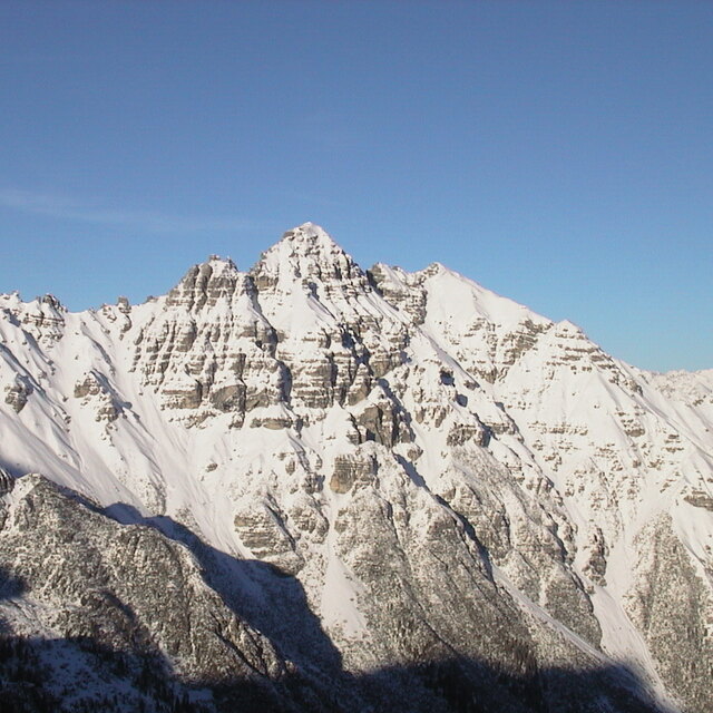
Free Snow-Forecast.com weather widget for your website
Embed the Neustift weather widget on your site for free. It provides a weekly snapshot of snow and rain conditions across all elevations. Follow the two quick steps to grab your custom code and paste it into your site. Choose between metric or imperial units. Click here to get the code.


 Nearest