

Portillo Storm Snowfall Total Passes 5m / 17 Feet
A snow storm that has now continued for nine days has taken Chilean ski resort Portillo to a snowfall total of 5.2 metres (17 feet) so far, with more snow forecast.

Next 3 days weather summary:Light rain (total 7.0mm), mostly falling on Thu night. Warm (max 33°C on Fri afternoon, min 16°C on Sat night). Wind will be generally light. | Days 4-6 weather summary:Light rain (total 6.0mm), mostly falling on Tue night. Warm (max 33°C on Mon afternoon, min 15°C on Tue night). Wind will be generally light. | |||||||||||||||||
Thursday 30 | Friday 31 | Saturday 1 | Sunday 2 | Monday 3 | Tuesday 4 | |||||||||||||
AM | PM | night | AM | PM | night | AM | PM | night | AM | PM | night | AM | PM | night | AM | PM | night | |
clear | clear | rain shwrs | clear | some clouds | rain shwrs | some clouds | rain shwrs | rain shwrs | some clouds | some clouds | rain shwrs | clear | some clouds | clear | clear | clear | rain shwrs | |
km/h | ||||||||||||||||||
Snow map |  |  |  |  |  |  | ||||||||||||
— | — | — | — | — | — | — | — | — | — | — | — | — | — | — | — | — | — | |
mm | — | — | 3 | — | — | 1 | — | 1 | 2 | — | — | 1 | — | — | — | — | — | 5 |
max °C | 30 | 32 | 25 | 31 | 33 | 23 | 29 | 30 | 21 | 25 | 31 | 25 | 31 | 33 | 24 | 29 | 30 | 23 |
min °C | 22 | 31 | 17 | 22 | 32 | 18 | 22 | 29 | 16 | 20 | 31 | 18 | 22 | 30 | 18 | 22 | 30 | 15 |
chill °C | 22 | 31 | 17 | 22 | 32 | 18 | 22 | 29 | 16 | 20 | 31 | 18 | 22 | 30 | 18 | 22 | 30 | 15 |
Humid % | 44 | 37 | 65 | 38 | 31 | 66 | 46 | 39 | 78 | 57 | 38 | 65 | 39 | 32 | 52 | 42 | 35 | 81 |
Freeze m | 4400 | 4550 | 4600 | 4600 | 4600 | 4550 | 4450 | 4450 | 4450 | 4500 | 4500 | 4550 | 4500 | 4500 | 4450 | 4400 | 4350 | 4250 |
5:43 | — | — | 5:45 | — | — | 5:46 | — | — | 5:47 | — | — | 5:48 | — | — | 5:50 | — | — | |
— | — | 8:40 | — | — | 8:39 | — | — | 8:38 | — | — | 8:37 | — | — | 8:36 | — | — | 8:34 | |
Go pro and carve into:
Avalanche information: European Avalanche Warning Services (EAWS)
Latest snow reports near Nassfeld:
| Top snow depth: | 0 cm |
|---|---|
| Bottom snow depth: | 0 cm |
| Fresh snowfall depth: | — |
| Last snowfall: | 15 May 2026 |
| Snow Alerts | Create Alert |
0.0 | Bluebird Powder days Fresh snow, mostly sunny, light wind. |
|---|---|
0.0 | Powder days Fresh snow, limited sun, any wind. |
0.0 | Bluebird days Average snow, mostly sunny, light wind. |
The above table gives the weather forecast for Nassfeld at the specific elevation of 610 m. Our sophisticated weather models allow us to provide snow forecasts for the top, middle and bottom ski stations of Nassfeld. To access the weather forecasts for the other elevations, use the tab navigation above the table. For a wider view of the weather, check out the Weather Map of Austria.
Click here to read further information on freezing levels and how we forecast our temperatures.
Overall 4.1 Based on 23 votes and 12 reviews
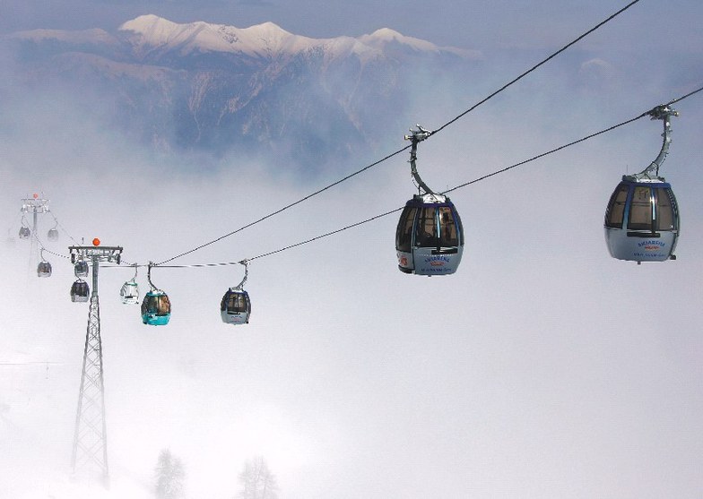
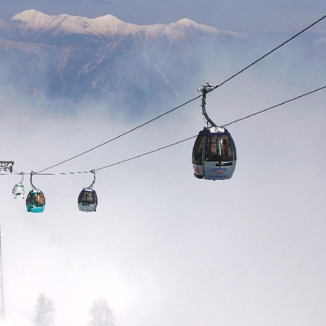
I have been coming to Nassfeld ski area since 1980. The resort was and is very friendly and good for families. There are a few black runs but that is ok as very few people using them can actually ski well. Queues at the bottom of the gondola can be huge when school parties visit but on the whole not too bad. The whole ski experience is very good, fantastic views and well groomed pistes. Alcohol consumption is at times worrying when you then see people skiing down the slope. The FIS rules are not looked at by people and the code is not regularly observed. The rules should be on larger sheets of paper and in better areas so that people will be able to read them. Going out of season is always a better experience but during the school holiday times it gets very crowded. Great to read that at last there will be a chairlift instead of the T-bar next to the warm up lift. So many more choices then. I love to come to Nassfeld. More things to do in the village would be good and particularly in Hermagor!
Maria from United Kingdom writes:
I have been coming to Nassfeld ski area since 1980. The resort was and is very friendly and good for families. There are a few black runs but that is ok as very few people using them can actually ski well. Queues at the bottom of the gondola can be huge when school parties visit but on the whole not too bad. The whole ski experience is very good, fantastic views and well groomed pistes. Alcohol consumption is at times worrying when you then see people skiing down the slope. The FIS rules are not looked at by people and the code is not regularly observed. The rules should be on larger sheets of paper and in better areas so that people will be able to read them. Going out of season is always a better experience but during the school holiday times it gets very crowded. Great to read that at last there will be a chairlift instead of the T-bar next to the warm up lift. So many more choices then. I love to come to Nassfeld. More things to do in the village would be good and particularly in Hermagor!


 Nearest