

Global Weekly Snow Roundup #320
Weekly Snow News for the world, updated 25 June 2026: Chile and New Zealand's seasons proper set to begin, Tignes and Sunshine reopen for summer skiing. weekend as Riksgransen ends its 2026 season.

Next 4 days weather summary:Light rain (total 4.0mm), mostly falling on Mon night. Warm (max 31°C on Tue afternoon, min 17°C on Sun night). Wind will be generally light. | Days 5-7 weather summary:Light rain (total 4.0mm), mostly falling on Thu night. Warm (max 32°C on Sat afternoon, min 20°C on Thu night). Wind will be generally light. | |||||||||||||||
Monday 29 | Tuesday 30 | Wednesday 1 | Thursday 2 | Friday 3 | ||||||||||||
night | AM | PM | night | AM | PM | night | AM | PM | night | AM | PM | night | AM | PM | night | |
some clouds | clear | some clouds | rain shwrs | rain shwrs | rain shwrs | clear | clear | clear | clear | clear | clear | rain shwrs | rain shwrs | clear | some clouds | |
km/h | ||||||||||||||||
Snow map |  |  |  |  |  |  | ||||||||||
— | — | — | — | — | — | — | — | — | — | — | — | — | — | — | — | |
mm | — | — | — | 2 | 1 | 1 | — | — | — | — | — | — | 2 | 1 | — | — |
max °C | 23 | 25 | 27 | 22 | 25 | 31 | 28 | 27 | 29 | 26 | 29 | 30 | 26 | 28 | 30 | 25 |
min °C | 17 | 20 | 27 | 18 | 20 | 30 | 22 | 24 | 28 | 22 | 25 | 30 | 20 | 22 | 29 | 21 |
chill °C | 17 | 20 | 27 | 18 | 20 | 30 | 22 | 24 | 28 | 22 | 25 | 30 | 20 | 22 | 29 | 21 |
Humid % | 69 | 42 | 40 | 77 | 78 | 63 | 86 | 76 | 68 | 76 | 61 | 61 | 87 | 69 | 58 | 82 |
Freeze m | 3900 | 4200 | 4500 | 4700 | 4950 | 5050 | 4950 | 4900 | 5000 | 5000 | 4900 | 4850 | 4800 | 4800 | 4700 | 4700 |
— | 5:35 | — | — | 5:35 | — | — | 5:35 | — | — | 5:37 | — | — | 5:37 | — | — | |
— | — | — | 9:07 | — | — | 9:07 | — | — | 9:07 | — | — | 9:07 | — | — | 9:07 | |
Go pro and carve into:
Avalanche information: Avalanche Canada
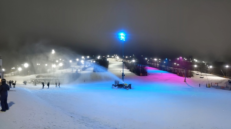
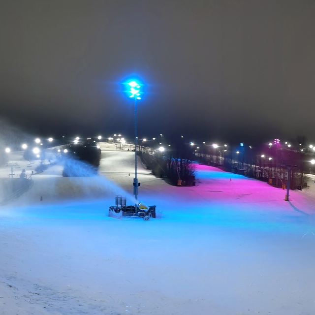
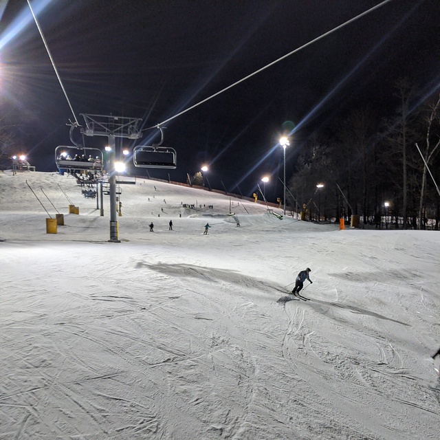
Latest snow reports near Mt St Louis Moonstone:
| Top snow depth: | — |
|---|---|
| Bottom snow depth: | — |
| Fresh snowfall depth: | — |
| Last snowfall: | 10 Apr 2026 |
| Snow Alerts | Create Alert |
0.0 | Bluebird Powder days Fresh snow, mostly sunny, light wind. |
|---|---|
0.0 | Powder days Fresh snow, limited sun, any wind. |
0.0 | Bluebird days Average snow, mostly sunny, light wind. |
The above table gives the weather forecast for Mt St Louis Moonstone at the specific elevation of 244 m. Our sophisticated weather models allow us to provide snow forecasts for the top, middle and bottom ski stations of Mt St Louis Moonstone. To access the weather forecasts for the other elevations, use the tab navigation above the table. For a wider view of the weather, check out the Weather Map of Canada.
Click here to read further information on freezing levels and how we forecast our temperatures.
Overall 2.3 Based on 2 votes and 6 reviews
I have been skiing at Mt St Louis Moonstone for the past years along with many other ski resorts in Ontario. In the past two years I have decided to purchase the night season pass. This year has been the worst, the team at Mt St Louis Moonstone is not grooming ever the trails after 3 PM, the trail condition is worse and the ride quality has been degrading at a constant pace during the years, with moguls and accumulated snow. I have been trying to talk with the people at the lifts at no avail. Even the entrance at the lift the snow/ice is accumulating making it difficult to enter and load the chair. I have been at other resorts and the teams there are working around the clock in making sure the access at the lifts and the trail condition is top notch even at the evening hours. More than that even if for the same price for the night season pass the other resorts are offering 7 nights, instead of 5, for night skiing. It seems that the afflux of new members coming from the more expensive places are making the team at Mt St Louis Moonstone is unable or unwilling to keep the quality standards we were so much used to. Unfortunately, the quality is degrading at Mt St Louis Moonstone and is pushing me away to other resorts for the next season.
Dorin from Canada writes:
I have been skiing at Mt St Louis Moonstone for the past years along with many other ski resorts in Ontario. In the past two years I have decided to purchase the night season pass. This year has been the worst, the team at Mt St Louis Moonstone is not grooming ever the trails after 3 PM, the trail condition is worse and the ride quality has been degrading at a constant pace during the years, with moguls and accumulated snow. I have been trying to talk with the people at the lifts at no avail. Even the entrance at the lift the snow/ice is accumulating making it difficult to enter and load the chair. I have been at other resorts and the teams there are working around the clock in making sure the access at the lifts and the trail condition is top notch even at the evening hours. More than that even if for the same price for the night season pass the other resorts are offering 7 nights, instead of 5, for night skiing. It seems that the afflux of new members coming from the more expensive places are making the team at Mt St Louis Moonstone is unable or unwilling to keep the quality standards we were so much used to. Unfortunately, the quality is degrading at Mt St Louis Moonstone and is pushing me away to other resorts for the next season.
Read 5 more reviews of Mt St Louis Moonstone or submit your own


 Nearest