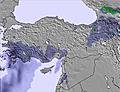
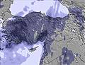
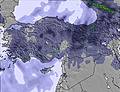
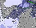
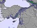
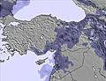
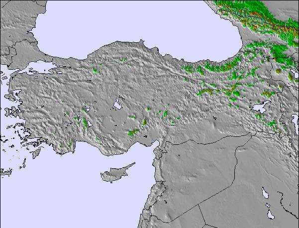
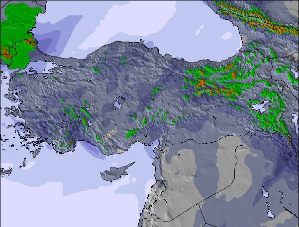
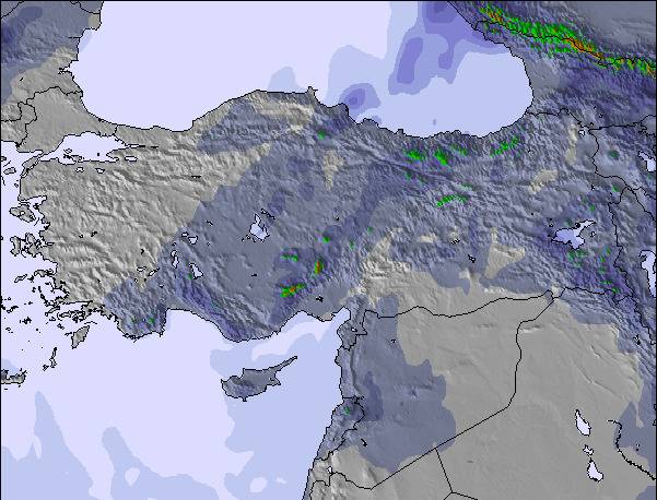
The above table gives the weather forecast for Mt Palandöken at the specific elevation of 2600 m. Our sophisticated weather models allow us to provide snow forecasts for the top, middle and bottom ski stations of Mt Palandöken. To access the weather forecasts for the other elevations, use the tab navigation above the table. For a wider view of the weather, check out the Weather Map of Turkey.
Click here to read further information on freezing levels and how we forecast our temperatures.
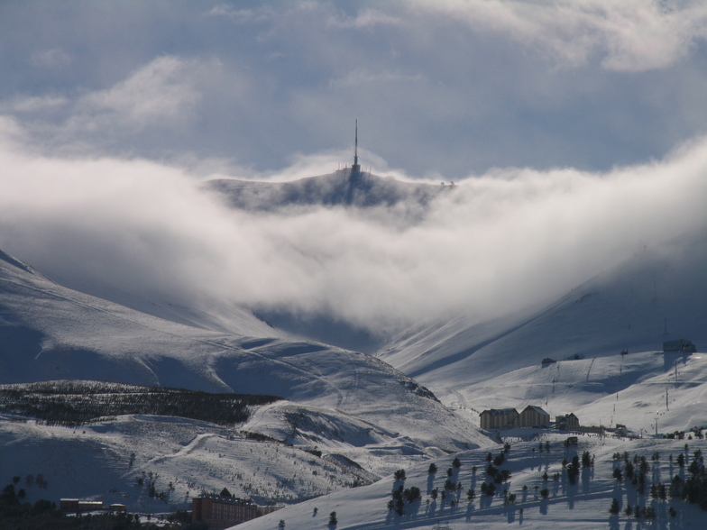
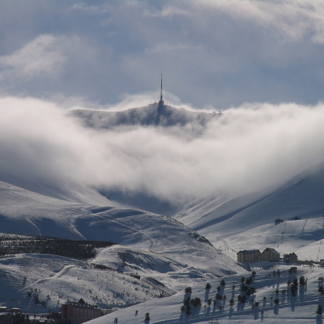
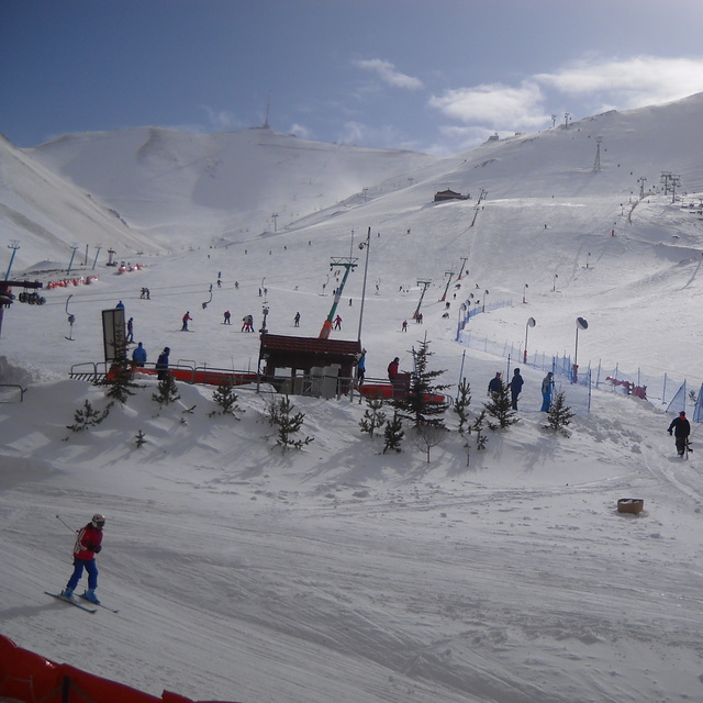
Palandöken/Ejder3200 has the longest ski slopes in Turkey and offers crystal snow along with Sarikamis. Due to its climate it rarely faces snow shortage, although the region receives few snow in the recent years. There is snow making and night skiing is also possible. There used to be a superpipe and slopestyle piste which were built for Universiade 2011. However, nobody takes care of them so there is no option for freestyle enthusiasts. Also, the black pistes are usually closed (sometimes due to avalanche risk but mostly due to idleness). Despite these, Palandöken offers good skiing for reasonable price compared to the resorts in the west.
There also long slopes in Konakli, which were also built in 2011. But they are used for competitions as there only 1 accommodation facility in this area. If this place is combined with Palandöken in the future, it would be the 3 Vallees of Türkiye and probably the largest ski area in Middle East & Balkan.
Apart from the main slopes, Sway Hotel and Polat Hotel has their own ski pistes,which are free of charge for hotel guests. You can visit Ejder3200 website for webcams, snow conditions and current piste map.
Free Snow-Forecast.com weather widget for your website
Embed the Mt Palandöken weather widget on your site for free. It provides a weekly snapshot of snow and rain conditions across all elevations. Follow the two quick steps to grab your custom code and paste it into your site. Choose between metric or imperial units. Click here to get the code.


 Nearest