The above table gives the weather forecast for Montafon at the specific elevation of 1650 m. Our sophisticated weather models allow us to provide snow forecasts for the top, middle and bottom ski stations of Montafon. To access the weather forecasts for the other elevations, use the tab navigation above the table. For a wider view of the weather, check out the Weather Map of Austria.
Click here to read further information on freezing levels and how we forecast our temperatures.
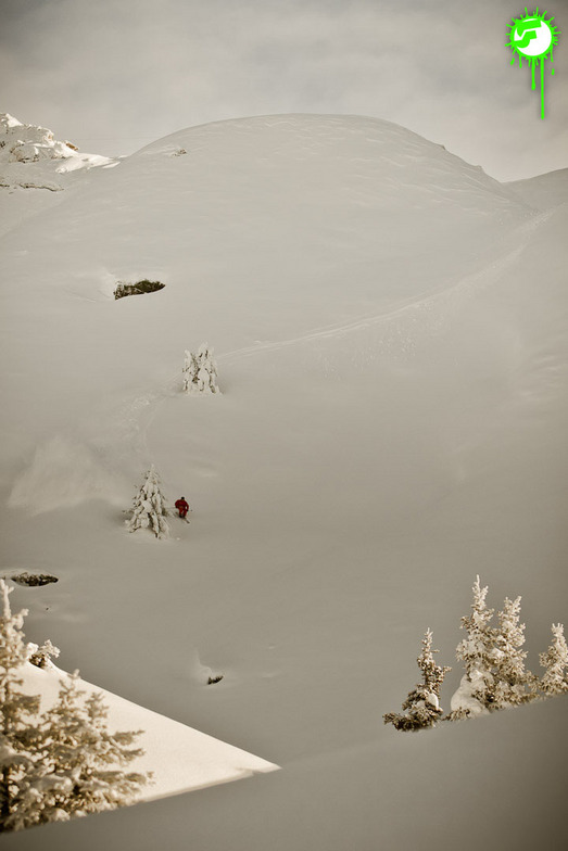
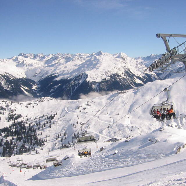
Montafon is an excellent destination in Vorarlberg. Access by car is assured also during heavy snow fall and you can choose between different parking areas in Schruns, St. Gallenkirch or Gaschurn.
Offer of perfectly groomed slopes goes from easy ones in Kapell area to black ones. This season, with a lot of snow, the Black Scorpion in the back of Versettla was fantastic. But, in general, all very large slopes. Guaranteed good rides also on weekends when it is crowded.
I suggest, also, the Hochjochtotal from 2400m down to 700m in Schruns or from Sennigrat to Silbertal.
Restaurants and bars are available everywhere and with the sun shining nothing's better than to chill out on the terrace.
A good tip is to ski during weekdays, to avoid crowded slopes and traffic jams early in the morning and later in the afternoon.
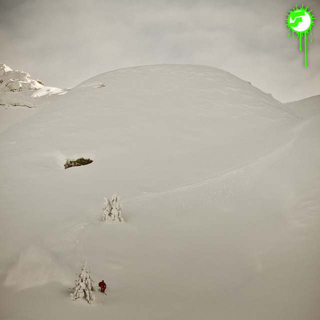
Free Snow-Forecast.com weather widget for your website
Embed the Montafon weather widget on your site for free. It provides a weekly snapshot of snow and rain conditions across all elevations. Follow the two quick steps to grab your custom code and paste it into your site. Choose between metric or imperial units. Click here to get the code.


 Nearest