

Freeride Added To 2030 Olympic Winter Games
The IOC has today announced a swathe of decisions ahead of the Alpes 2030 Winter Olympics and Paralympics in the French Alps.

Next 4 days weather summary:Moderate rain (total 10.0mm), heaviest on Wed afternoon. Warm (max 21°C on Fri afternoon, min 12°C on Wed night). Winds decreasing (strong winds from the WNW on Wed morning, calm by Fri afternoon). | Days 5-7 weather summary:Mostly dry. Warm (max 23°C on Mon afternoon, min 13°C on Sat night). Wind will be generally light. | |||||||||||||||
Wednesday 8 | Thursday 9 | Friday 10 | Saturday 11 | Sunday 12 | ||||||||||||
night | AM | PM | night | AM | PM | night | AM | PM | night | AM | PM | night | AM | PM | night | |
some clouds | cloudy | light rain | light rain | rain shwrs | some clouds | some clouds | rain shwrs | rain shwrs | some clouds | some clouds | cloudy | clear | clear | clear | clear | |
km/h | ||||||||||||||||
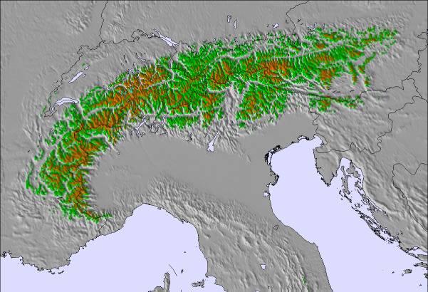
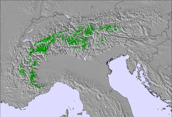
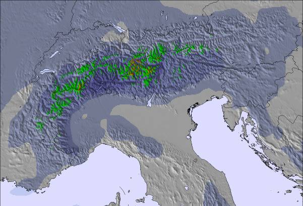
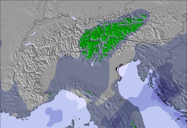
Snow map | 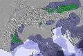 | 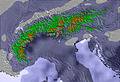 | 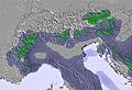 |  |  |  | ||||||||||
— | — | — | — | — | — | — | — | — | — | — | — | — | — | — | — | |
mm | — | — | 2 | 4 | 2 | — | — | 1 | 1 | — | — | — | — | — | — | — |
max °C | 20 | 16 | 15 | 14 | 17 | 19 | 16 | 19 | 21 | 18 | 21 | 22 | 19 | 20 | 22 | 18 |
min °C | 15 | 14 | 15 | 12 | 12 | 19 | 14 | 16 | 21 | 14 | 18 | 22 | 13 | 16 | 22 | 13 |
chill °C | 13 | 12 | 13 | 11 | 11 | 19 | 14 | 16 | 21 | 14 | 18 | 22 | 12 | 16 | 22 | 13 |
Humid % | 43 | 70 | 80 | 89 | 70 | 52 | 72 | 67 | 56 | 64 | 60 | 52 | 65 | 53 | 41 | 57 |
Freeze m | 3550 | 3350 | 3300 | 3250 | 3250 | 3400 | 3200 | 3550 | 3650 | 3850 | 3900 | 3750 | 3650 | 3700 | 3750 | 3750 |
— | 5:07 | — | — | 5:07 | — | — | 5:09 | — | — | 5:09 | — | — | 5:11 | — | — | |
— | — | — | 8:53 | — | — | 8:53 | — | — | 8:52 | — | — | 8:52 | — | — | 8:52 | |
Go pro and carve into:
Avalanche information: European Avalanche Warning Services (EAWS)
Latest snow reports near Mönichwald:
| Top snow depth: | — |
|---|---|
| Bottom snow depth: | — |
| Fresh snowfall depth: | — |
| Last snowfall: | 12 May 2026 |
| Snow Alerts | Create Alert |
0.0 | Bluebird Powder days Fresh snow, mostly sunny, light wind. |
|---|---|
0.0 | Powder days Fresh snow, limited sun, any wind. |
0.0 | Bluebird days Average snow, mostly sunny, light wind. |
The above table gives the weather forecast for Mönichwald at the specific elevation of 1000 m. Our sophisticated weather models allow us to provide snow forecasts for the top, middle and bottom ski stations of Mönichwald. To access the weather forecasts for the other elevations, use the tab navigation above the table. For a wider view of the weather, check out the Weather Map of Austria.
Click here to read further information on freezing levels and how we forecast our temperatures.
Resort name is also written as Monichwald.

 Nearest