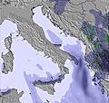
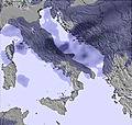
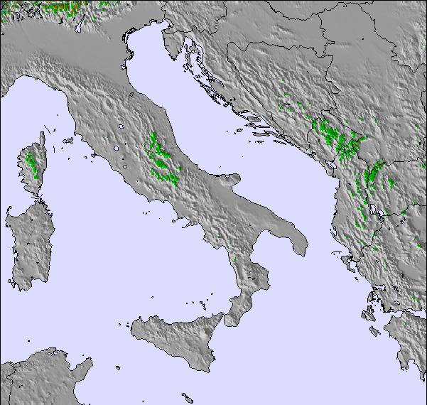
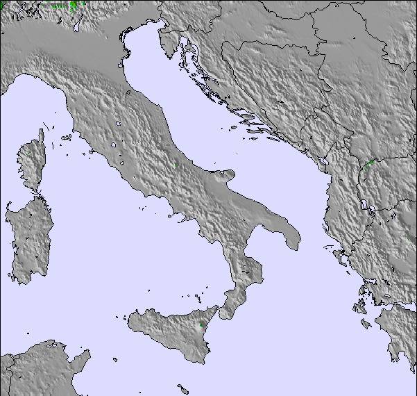
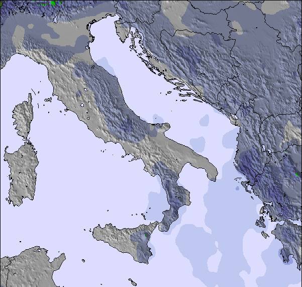
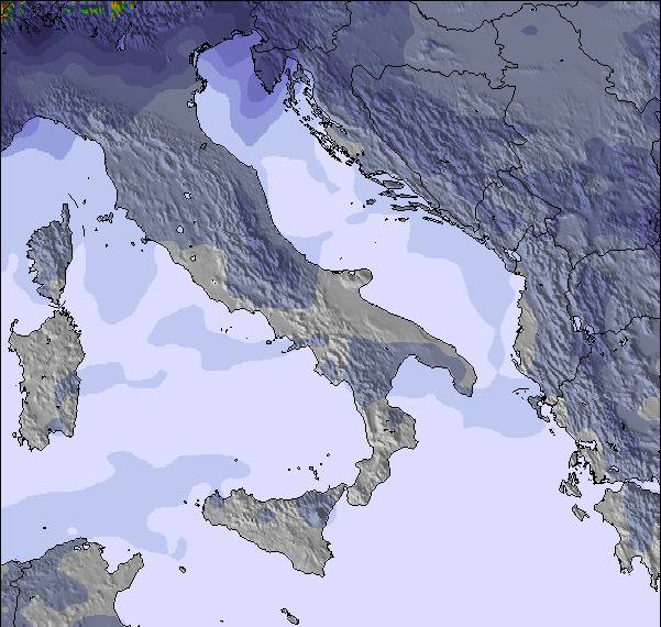
The above table gives the weather forecast for Lorica at the specific elevation of 1662 m. Our sophisticated weather models allow us to provide snow forecasts for the top, middle and bottom ski stations of Lorica. To access the weather forecasts for the other elevations, use the tab navigation above the table. For a wider view of the weather, check out the Weather Map of Italy.
Click here to read further information on freezing levels and how we forecast our temperatures.
Lorica is an unspoilt, little known gem in the heart of the La Sila National Park; the largest remaining forest in Europe. Lorica is, therefore, in a heritage conservation area and offers outstanding natural beauty; the views from every corner are breath taking either from atop the mountain or gazing on enchanting lake Arvo. Lorica is a walkers and skiers paradise. A skier I know well exclaimed that although he had skied all over the world, that Lorica provided a unique experience; No queues for the ski lifts, cheap hire fees and best of all "millionaire skiing"; the piste to himself at the height of the season. Lorica and the surrounding areas of Polumbo snd Camiglitella are all snow safe from December until March. Actually it is still snowing now in April, though most rare. One can be in snow on the mountain top and in T shirts down by the lake shore.
The restaurants: 10, 3 bars and 3 hotels are rustic but the food is typical southern Italian and very tasty and inexpensive. The coast, East or West, is one hours drive away with dramatic coastline and medieval villages, towns and resorts. Tropea and Reggio Calabris are among the most famous.
Visit the medieval university city of Cossenza for a wealth of fine shopping and culture. Victor Hugo described its fascinating byways ecstatically.
I love Lorica and its unspoilt charm. During thirty years I have visited various regions of Italy, but never before have I been so welcomed into people's hearts and homes.
In spring the wild meadows of the mountain slopes are adorned in carpets of blue, red and yellow flowers and wild broom. The cows with their tinkling bells are allowed to stroll along the lakeside.
There is nowhere else quite like it and I can only pray that its timeless quality is not lost as tourism slowly gathers momentum, as it surely will.
I have a wonderful villa there with unspoilt 360 degree lakeand mountain views. If you have never visited Calaberia give it a try, I hope you love it as much as I do.
M. Conyers
Free Snow-Forecast.com weather widget for your website
Embed the Lorica weather widget on your site for free. It provides a weekly snapshot of snow and rain conditions across all elevations. Follow the two quick steps to grab your custom code and paste it into your site. Choose between metric or imperial units. Click here to get the code.


 Nearest