The above table gives the weather forecast for Les Saisies at the specific elevation of 1610 m. Our sophisticated weather models allow us to provide snow forecasts for the top, middle and bottom ski stations of Les Saisies. To access the weather forecasts for the other elevations, use the tab navigation above the table. For a wider view of the weather, check out the Weather Map of France.
Click here to read further information on freezing levels and how we forecast our temperatures.
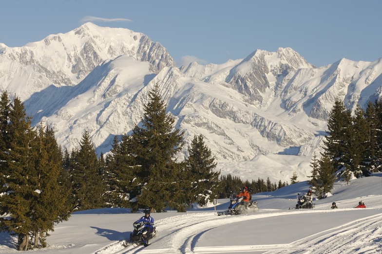
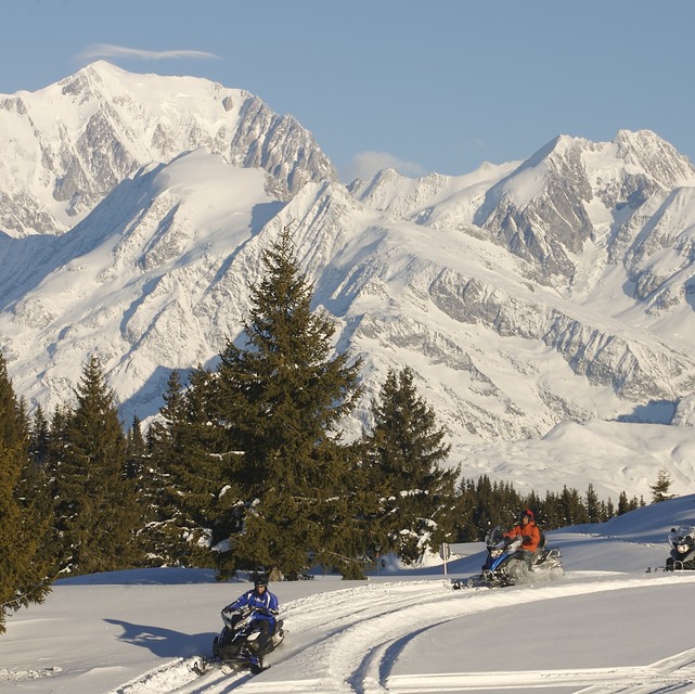
Les Saisies is a great place to stay and to spend your ski holiday; we are regular visitors. There are lots of very pleasant local restaurants in the village and all over the ski area. Within the new centre, aquasportife Le Signal, there is a bowling bar restaurant called Le 1650. We have spent our last evening there and can not recommend the place. The visitors of the bowling are 'owning the place'. Compared with the restaurants in the village the food was too little and the price too high. The view of our place next to the panorama window was blocked by a pile of chairs. The floor manager gave us the advice, after we made our remarks, to choose another restaurant the next time. We will!
Les Saisies is a great place to stay and to spend your ski holiday; we are regular visitors. There are lots of very pleasant local restaurants in the village and all over the ski area. Within the new centre, aquasportife Le Signal, there is a bowling bar restaurant called Le 1650. We have spent our last evening there and can not recommend the place. The visitors of the bowling are 'owning the place'. Compared with the restaurants in the village the food was too little and the price too high. The view of our place next to the panorama window was blocked by a pile of chairs. The floor manager gave us the advice, after we made our remarks, to choose another restaurant the next time. We will!
Free Snow-Forecast.com weather widget for your website
Embed the Les Saisies weather widget on your site for free. It provides a weekly snapshot of snow and rain conditions across all elevations. Follow the two quick steps to grab your custom code and paste it into your site. Choose between metric or imperial units. Click here to get the code.


 Nearest