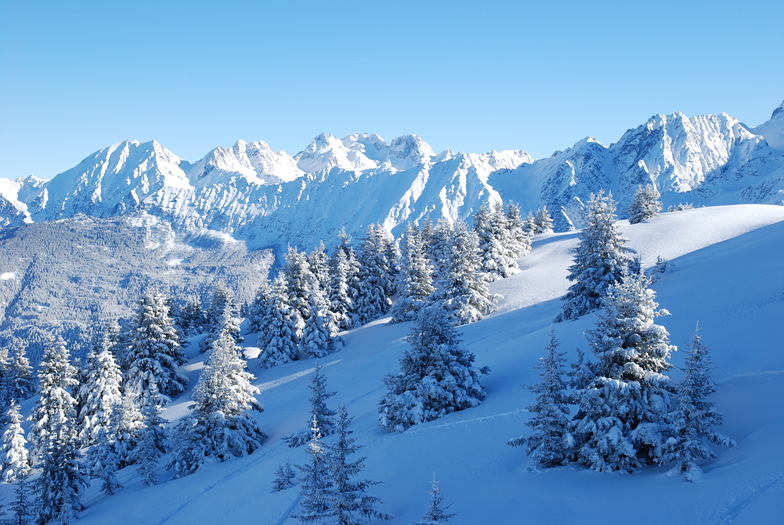
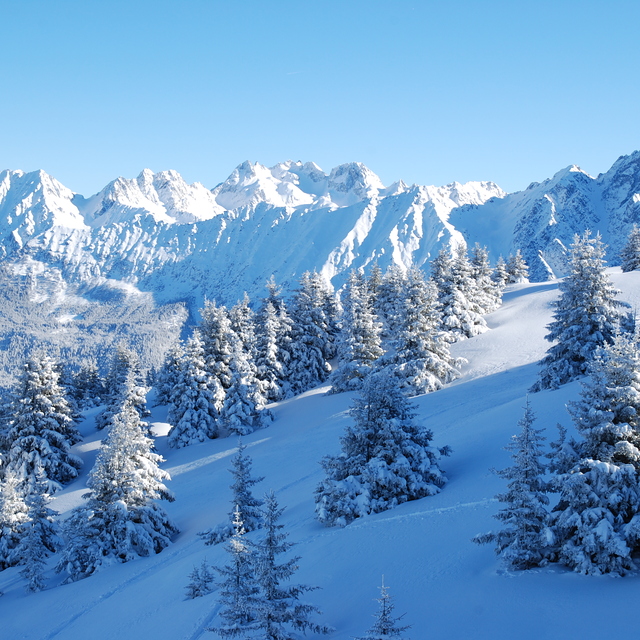
The above table gives the weather forecast for Les 7 Laux at the specific elevation of 1875 m. Our sophisticated weather models allow us to provide snow forecasts for the top, middle and bottom ski stations of Les 7 Laux. To access the weather forecasts for the other elevations, use the tab navigation above the table. For a wider view of the weather, check out the Weather Map of France.
Click here to read further information on freezing levels and how we forecast our temperatures.
I could understand why a professional instructor (with BE) with clients could pass everyone a crowded day as his salary will depend on it. Mostly usually the are limited to 6 and max 9 trainee by instructor...
I agree also with the local ski clubs cutting by the fast line to complete the free seat on the seated lift of course. Or while they rent a race track or special event...
But I am annoyed with the clubs with benevolent and other federal monitors that use unfair friendly privilege to pass with more than 12 kids all the waiting line while it's just to free ski all day. To see all that people from CO 7 laux ,GUC and other local clubs just pass everybody while there is no specific race, training trail reserved by them on the TK individual drag lift just a lot, and provide a good idea as the ski resort is considering the other customer, just pay and don't ski please!
I think if you want to ski and have a fir time down the slope for the money you pay, just go in other resort with a better management, with ethic about customer and not all backhander and favoritism base on bias relation that are unfair for the basic customer at the 7 Laux.
The ratio time of ski + pleasure is so much better in bigger resorts with more space and more professional management base on customers and not biased privilege local relations, just avoid to spend a full week renting there go in resorts better managed.
[editor: some swearing amongst text removed]
I could understand why a professional instructor (with BE) with clients could pass everyone a crowded day as his salary will depend on it. Mostly usually the are limited to 6 and max 9 trainee by instructor...
I agree also with the local ski clubs cutting by the fast line to complete the free seat on the seated lift of course. Or while they rent a race track or special event...
But I am annoyed with the clubs with benevolent and other federal monitors that use unfair friendly privilege to pass with more than 12 kids all the waiting line while it's just to free ski all day. To see all that people from CO 7 laux ,GUC and other local clubs just pass everybody while there is no specific race, training trail reserved by them on the TK individual drag lift just a lot, and provide a good idea as the ski resort is considering the other customer, just pay and don't ski please!
I think if you want to ski and have a fir time down the slope for the money you pay, just go in other resort with a better management, with ethic about customer and not all backhander and favoritism base on bias relation that are unfair for the basic customer at the 7 Laux.
The ratio time of ski + pleasure is so much better in bigger resorts with more space and more professional management base on customers and not biased privilege local relations, just avoid to spend a full week renting there go in resorts better managed.
Free Snow-Forecast.com weather widget for your website
Embed the Les 7 Laux weather widget on your site for free. It provides a weekly snapshot of snow and rain conditions across all elevations. Follow the two quick steps to grab your custom code and paste it into your site. Choose between metric or imperial units. Click here to get the code.


 Nearest