
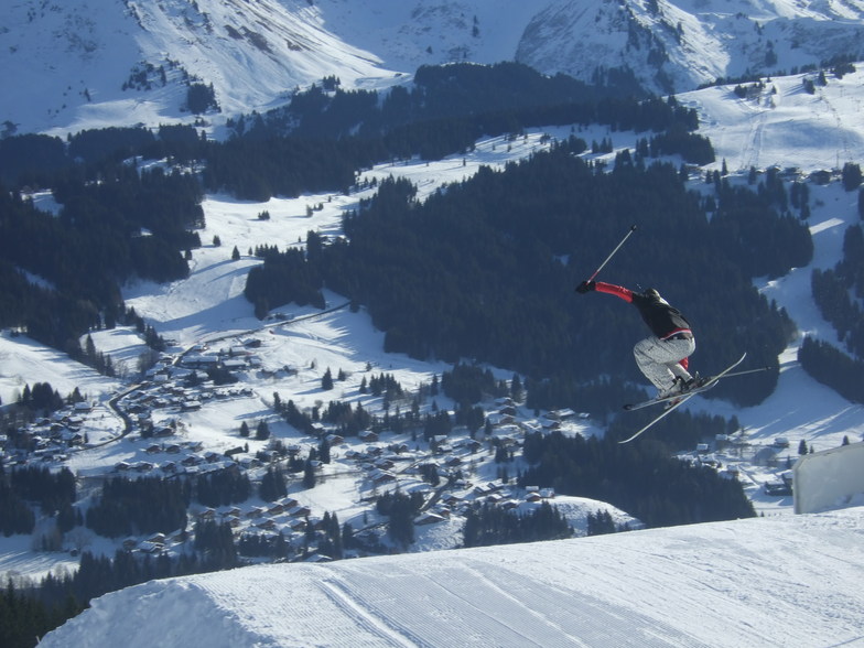
Airport Transfers by Alpine FLeet
BOOK NOW


Les Gets Weather (Next 3 days): The snow forecast for Les Gets is: Moderate rain (total 16.0mm), heaviest on Thu morning giving way to a moderate fall of snow, heaviest on Thu morning. Freeze-thaw conditions (max 11°C on Wed afternoon, min -1°C on Thu night). Wind will be generally light.
Les Gets Weather (Days 4-6): Heavy rain (total 27.0mm), heaviest during Sat night. Very mild (max 12°C on Mon afternoon, min 1°C on Fri night). Wind will be generally light.
| Resort | Snow Depth | Temp. (°C) | Wind (km/h) | Weather | ||
|---|---|---|---|---|---|---|
| Top Lift: | 6 | |||||
| Middle Lift: | 8 | |||||
| Bottom Lift: | 8 |
Latest snow reports near Les Gets:
Resort closed for the season. See you this summer! from La Giettaz en Aravis

Wednesday 1 | Thursday 2 | Friday 3 | Saturday 4 | Sunday 5 | Monday 6 | ||||||||||||||
night | AM | PM | night | AM | PM | night | AM | PM | night | AM | PM | night | AM | PM | night | AM | PM | night | |
rain shwrs | some clouds | rain shwrs | light rain | light snow | light snow | mod. snow | light snow | light rain | rain shwrs | cloudy | light rain | mod. rain | light rain | risk thun- der | light rain | light rain | risk thun- der | heavy rain | |
km/h | |||||||||||||||||||
Snow map |  |  |  |  |  |  |  | ||||||||||||
— | — | — | — | 3 | 5 | 5 | — | — | — | — | — | — | — | — | — | — | — | — | |
1.0 | — | 3 | 3 | 7 | — | — | — | 2.0 | 2.0 | — | 2.0 | 8 | 2.0 | 3 | 4 | 2.0 | 4 | 20 | |
max°C | 10 | 9 | 11 | 9 | 3 | 2 | 0 | 1 | 3 | 3 | 3 | 4 | 5 | 7 | 9 | 9 | 10 | 12 | 8 |
min°C | 6 | 7 | 11 | 5 | 2 | 0 | -1 | 0 | 2 | 1 | 2 | 3 | 3 | 5 | 9 | 8 | 8 | 9 | 6 |
4 | 5 | 11 | 4 | 2 | -3 | -4 | 0 | 2 | -1 | 0 | 0 | 0 | 2 | 7 | 6 | 6 | 7 | 4 | |
69 | 64 | 61 | 80 | 98 | 99 | 99 | 94 | 87 | 82 | 79 | 92 | 93 | 80 | 76 | 78 | 72 | 92 | 95 | |
3050 | 2900 | 2900 | 2500 | 1950 | 1600 | 1500 | 1700 | 2000 | 1800 | 2100 | 2250 | 2350 | 2550 | 2800 | 2900 | 2900 | 3000 | 2750 | |
— | 6:18 | — | — | 6:16 | — | — | 6:16 | — | — | 6:13 | — | — | 6:13 | — | — | 6:11 | — | — | |
— | — | — | 8:42 | — | — | 8:43 | — | — | 8:44 | — | — | 8:45 | — | — | 8:46 | — | — | 8:47 | |
Moderate rain (total 16.0mm), heaviest on Thu morning giving way to a moderate fall of snow, heaviest on Thu morning. Freeze-thaw conditions (max 11°C on Wed afternoon, min -1°C on Thu night). Wind will be generally light.
Heavy rain (total 27.0mm), heaviest during Sat night. Very mild (max 12°C on Mon afternoon, min 1°C on Fri night). Wind will be generally light.
Latest snow reports near Les Gets:
Resort closed for the season. See you this summer! from La Giettaz en Aravis
| Top snow depth: | — |
|---|---|
| Bottom snow depth: | — |
| Fresh snowfall depth: | — |
| Last snowfall: | 26 Apr 2024 |
| Snow Alerts | Create Alert |
0.1 | Bluebird Powder days Fresh snow, mostly sunny, light wind. |
|---|---|
0.4 | Powder days Fresh snow, limited sun, any wind. |
0.1 | Bluebird days Average snow, mostly sunny, light wind. |


The above table gives the weather forecast for Les Gets at the specific elevation of 1587 m. Our sophisticated weather models allow us to provide snow forecasts for the top, middle and bottom ski stations of Les Gets. To access the weather forecasts for the other elevations, use the tab navigation above the table. For a wider view of the weather, check out the Weather Map of France.
Click here to read further information on freezing levels and how we forecast our temperatures.
Overall 4.3 Based on 59 votes and 36 reviews
It might be worth reviewing another's comment that Les Gets 'never fails to disappoint' i.e. It's always rubbish! I think he's trying to say 'it always meets expectations'.
Simon Harris from United Kingdom writes:
It might be worth reviewing another's comment that Les Gets 'never fails to disappoint' i.e. It's always rubbish!
I think he's trying to say 'it always meets expectations'.
The Les Gets skiing weather widget is available to embed on external websites free of charge. It provides a daily summary of our Les Gets snow forecast and current weather conditions. Simply go to the feed configuration page and follow the 3 simple steps to grab the custom html code snippet and paste it into your own site. You can choose the snow forecast elevation (summit, mid-mountain or bottom lift) and metric/imperial units for the snow forecast feed to suit your own website…. Click here to get the code.
View detailed snow forecast for Les Gets at:
snow-forecast.com


 Nearest