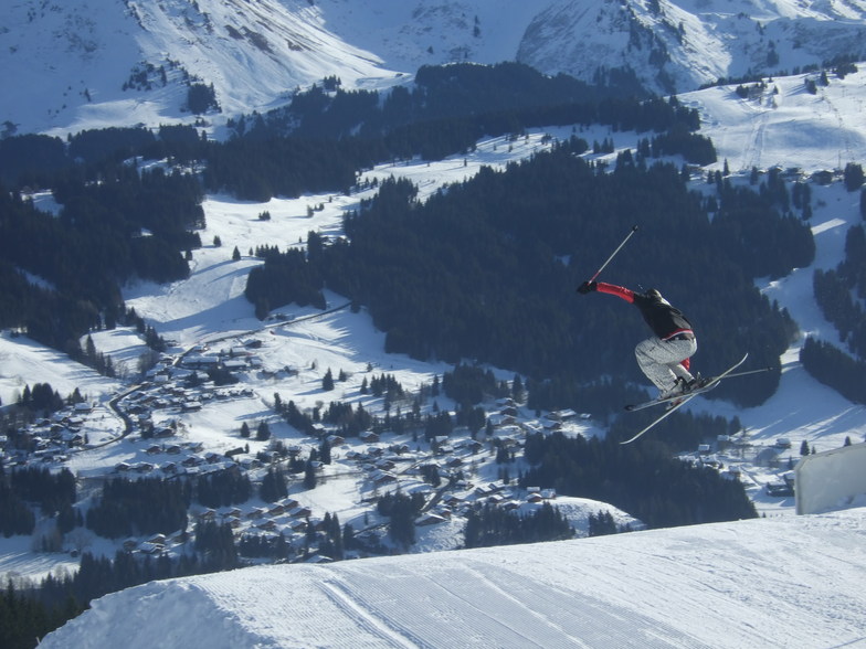


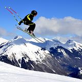
Portillo Re-Opens To Guests Arriving By Helicopter
Chile’s famous Portillo ski resort is reported to have re-opened to guests arriving by helicopter after being cut off by road for more than two weeks by over 6m/20 feet of snowfall.

Next 3 days weather summary:Heavy rain (total 40.0mm), heaviest during Mon night. Warm (max 25°C on Mon afternoon, min 16°C on Tue night). Wind will be generally light. | Days 4-6 weather summary:Moderate rain (total 12.0mm), heaviest on Thu afternoon. Warm (max 20°C on Sat afternoon, min 12°C on Fri morning). Wind will be generally light. | |||||||||||||||||
Monday 3 | Tuesday 4 | Wednesday 5 | Thursday 6 | Friday 7 | Saturday 8 | |||||||||||||
AM | PM | night | AM | PM | night | AM | PM | night | AM | PM | night | AM | PM | night | AM | PM | night | |
clear | t-storm risk | rain shwrs | clear | t-storm risk | rain shwrs | clear | rain shwrs | rain shwrs | clear | mod. rain | rain shwrs | some clouds | some clouds | clear | clear | clear | clear | |
km/h | ||||||||||||||||||
Snow map |  |  |  |  |  |  | ||||||||||||
— | — | — | — | — | — | — | — | — | — | — | — | — | — | — | — | — | — | |
mm | — | 5 | 13 | — | 9 | 11 | — | 1 | 1 | — | 9 | 3 | — | — | — | — | — | — |
max °C | 23 | 25 | 19 | 19 | 21 | 17 | 19 | 21 | 21 | 19 | 17 | 14 | 14 | 17 | 17 | 16 | 20 | 19 |
min °C | 20 | 18 | 17 | 18 | 17 | 16 | 17 | 21 | 18 | 18 | 15 | 13 | 12 | 15 | 15 | 14 | 19 | 18 |
chill °C | 20 | 18 | 17 | 18 | 17 | 16 | 17 | 21 | 18 | 18 | 15 | 12 | 12 | 15 | 15 | 14 | 19 | 18 |
Humid % | 39 | 72 | 62 | 60 | 75 | 62 | 56 | 48 | 56 | 61 | 92 | 88 | 86 | 68 | 66 | 58 | 40 | 43 |
Freeze m | 4550 | 4400 | 4500 | 4450 | 4350 | 4400 | 4300 | 4350 | 4400 | 4300 | 4300 | 4150 | 4150 | 4250 | 4350 | 4300 | 4250 | 4250 |
6:16 | — | — | 6:18 | — | — | 6:18 | — | — | 6:20 | — | — | 6:20 | — | — | 6:22 | — | — | |
— | — | 9:00 | — | — | 9:00 | — | — | 8:58 | — | — | 8:57 | — | — | 8:54 | — | — | 8:53 | |
Go pro and carve into:
Avalanche information: European Avalanche Warning Services (EAWS)
Latest snow reports near Les Gets:
| Top snow depth: | — |
|---|---|
| Bottom snow depth: | — |
| Fresh snowfall depth: | — |
| Last snowfall: | 16 May 2026 |
| Snow Alerts | Create Alert |
0.0 | Bluebird Powder days Fresh snow, mostly sunny, light wind. |
|---|---|
0.0 | Powder days Fresh snow, limited sun, any wind. |
0.0 | Bluebird days Average snow, mostly sunny, light wind. |
The above table gives the weather forecast for Les Gets at the specific elevation of 1587 m. Our sophisticated weather models allow us to provide snow forecasts for the top, middle and bottom ski stations of Les Gets. To access the weather forecasts for the other elevations, use the tab navigation above the table. For a wider view of the weather, check out the Weather Map of France.
Click here to read further information on freezing levels and how we forecast our temperatures.
Overall 4.3 Based on 61 votes and 36 reviews
It might be worth reviewing another's comment that Les Gets 'never fails to disappoint' i.e. It's always rubbish! I think he's trying to say 'it always meets expectations'.
Simon Harris from United Kingdom writes:
It might be worth reviewing another's comment that Les Gets 'never fails to disappoint' i.e. It's always rubbish!
I think he's trying to say 'it always meets expectations'.


 Nearest