Heavy rain (total 24.0mm), heaviest during Wed night. Very mild (max 11°C on Mon night, min 7°C on Wed afternoon). Winds increasing (calm on Mon night, fresh winds from the WNW by Wed night).
Days 5-7 weather summary:
Heavy rain (total 25.0mm), heaviest during Thu night. Very mild (max 11°C on Thu night, min 2°C on Sat night). Wind will be generally light.
The above table gives the weather forecast for Les Arcs at the specific elevation of 3199 m. Our sophisticated weather models allow us to provide snow forecasts for the top, middle and bottom ski stations of Les Arcs. To access the weather forecasts for the other elevations, use the tab navigation above the table. For a wider view of the weather, check out the Weather Map of France.
Click here to read further information on freezing levels and how we forecast our temperatures.
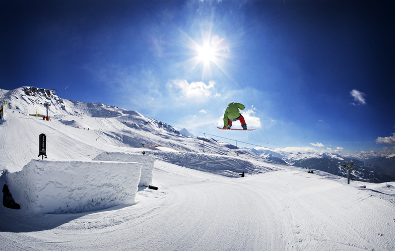
Les Arcs huh, where to begin. Ski area is vast, we were there in April 2023 and snow was decent above 2000m. For this time of year and under the current ski conditions across the Alps this was ok… we had fresh snow!
We stayed in Arc 1800 and locality and ease of access to the slopes is ideal. Great for popping back at lunchtime etc and good for kids.
Access to Arcs via Bourg St Maurice is easy. They want silly money for taxis transfers from Chambery. Save your money.
Taxis from Chambery airport to train station is roughly 30-40 Euros
Train for one adult and child return is 24 Euros (online). Once at Bourg your train ticket grants access in the funicular (at same station), which takes you to arc 1600, then free bus. Only issue with this approach is if you have very early returning flights.
Pricing - ok, the Euro is bad and basically 1 to 1 for the British pound atm. This makes things expensive and over priced. 20 Euros for basic burger and chips without drinks, no thanks. Forget about anything fancy, self catering is obviously cheaper but the local supermarket is limited and once again costly. Ok, I know it’s mountain prices but still.
Overall and as a first time snowboarding for my son it ticked all the boxes ….. would I return unlikely (unless there’s a deal to be had).
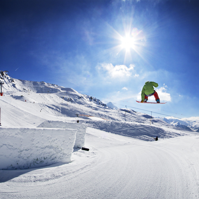
Free Snow-Forecast.com weather widget for your website
Embed the Les Arcs weather widget on your site for free. It provides a weekly snapshot of snow and rain conditions across all elevations. Follow the two quick steps to grab your custom code and paste it into your site. Choose between metric or imperial units. Click here to get the code.


 Nearest