

Portillo Storm Snowfall Total Passes 5m / 17 Feet
A snow storm that has now continued for nine days has taken Chilean ski resort Portillo to a snowfall total of 5.2 metres (17 feet) so far, with more snow forecast.

Next 3 days weather summary:Light rain (total 7.0mm), mostly falling on Fri night. Warm (max 23°C on Thu afternoon, min 15°C on Fri night). Wind will be generally light. | Days 4-6 weather summary:Moderate rain (total 14.0mm), heaviest on Mon night. Warm (max 22°C on Sun afternoon, min 15°C on Mon night). Wind will be generally light. | |||||||||||||||||
Thursday 30 | Friday 31 | Saturday 1 | Sunday 2 | Monday 3 | Tuesday 4 | |||||||||||||
AM | PM | night | AM | PM | night | AM | PM | night | AM | PM | night | AM | PM | night | AM | PM | night | |
clear | clear | some clouds | clear | t-storm risk | rain shwrs | clear | some clouds | clear | clear | some clouds | rain shwrs | some clouds | some clouds | rain shwrs | t-storm risk | t-storm risk | rain shwrs | |
km/h | ||||||||||||||||||
Snow map |  |  |  |  |  |  | ||||||||||||
— | — | — | — | — | — | — | — | — | — | — | — | — | — | — | — | — | — | |
mm | — | — | — | — | 2 | 5 | — | — | — | — | — | 2 | — | — | 5 | 1 | 4 | 2 |
max °C | 21 | 23 | 21 | 22 | 22 | 19 | 19 | 21 | 19 | 20 | 22 | 20 | 20 | 21 | 16 | 18 | 19 | 17 |
min °C | 17 | 23 | 18 | 19 | 19 | 15 | 16 | 20 | 16 | 17 | 22 | 16 | 16 | 20 | 15 | 16 | 19 | 15 |
chill °C | 17 | 23 | 18 | 19 | 19 | 15 | 16 | 20 | 16 | 17 | 22 | 16 | 16 | 20 | 15 | 16 | 19 | 15 |
Humid % | 24 | 25 | 47 | 36 | 60 | 66 | 48 | 37 | 50 | 36 | 37 | 66 | 49 | 48 | 64 | 59 | 55 | 61 |
Freeze m | 4550 | 4650 | 4800 | 4650 | 4600 | 4500 | 4400 | 4650 | 4600 | 4500 | 4750 | 4550 | 4500 | 4550 | 4350 | 4300 | 4450 | 4450 |
6:11 | — | — | 6:11 | — | — | 6:13 | — | — | 6:15 | — | — | 6:16 | — | — | 6:16 | — | — | |
— | — | 9:05 | — | — | 9:02 | — | — | 9:01 | — | — | 9:00 | — | — | 8:59 | — | — | 8:58 | |
Go pro and carve into:
Avalanche information: European Avalanche Warning Services (EAWS)
Latest snow reports near Le Tour:
| Top snow depth: | — |
|---|---|
| Bottom snow depth: | — |
| Fresh snowfall depth: | — |
| Last snowfall: | 16 May 2026 |
| Snow Alerts | Create Alert |
0.0 | Bluebird Powder days Fresh snow, mostly sunny, light wind. |
|---|---|
0.0 | Powder days Fresh snow, limited sun, any wind. |
0.0 | Bluebird days Average snow, mostly sunny, light wind. |
The above table gives the weather forecast for Le Tour at the specific elevation of 1868 m. Our sophisticated weather models allow us to provide snow forecasts for the top, middle and bottom ski stations of Le Tour. To access the weather forecasts for the other elevations, use the tab navigation above the table. For a wider view of the weather, check out the Weather Map of France.
Click here to read further information on freezing levels and how we forecast our temperatures.
Overall 3.2 Based on 3 votes and 2 reviews
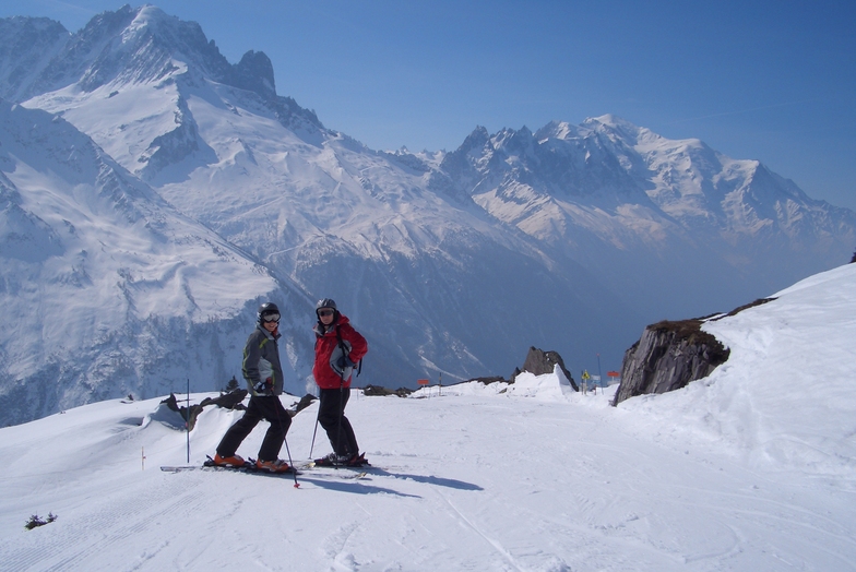
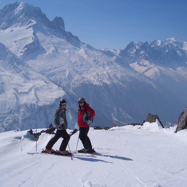
Le Tour. Feb 2012. POW, WOW...a great place for the family, long open runs mainly in the easy red which is great as our 5 year old, having spent the morning at ski school on the best nursery slope in the valley, can spend the afternoon on the hill with the family. Our 11 year old is now grabbing some air on the great natural pipes...and dad loves the off-piste at full speed. Accom is limited but great value...omelets are great at the Olympic. Truely a great little resort (can get cold in a blow). Booked again for 3 weeks in Jan 13. And best of all only a quick skip down to Grand Montet etc... Forest runs down to Vallorcein in POW are simply beautiful.
Grey on a Tray from United Kingdom writes:
Le Tour. Feb 2012. POW, WOW...a great place for the family, long open runs mainly in the easy red which is great as our 5 year old, having spent the morning at ski school on the best nursery slope in the valley, can spend the afternoon on the hill with the family. Our 11 year old is now grabbing some air on the great natural pipes...and dad loves the off-piste at full speed. Accom is limited but great value...omelets are great at the Olympic. Truely a great little resort (can get cold in a blow). Booked again for 3 weeks in Jan 13.
And best of all only a quick skip down to Grand Montet etc...
Forest runs down to Vallorcein in POW are simply beautiful.


 Nearest