The above table gives the weather forecast for La Norma at the specific elevation of 2050 m. Our sophisticated weather models allow us to provide snow forecasts for the top, middle and bottom ski stations of La Norma. To access the weather forecasts for the other elevations, use the tab navigation above the table. For a wider view of the weather, check out the Weather Map of France.
Click here to read further information on freezing levels and how we forecast our temperatures.
Visited La Norma end March/early April 2010, just a day visit as we were staying at Valfrejus just 20mins up the road and it's on the same 3 resorts pass.
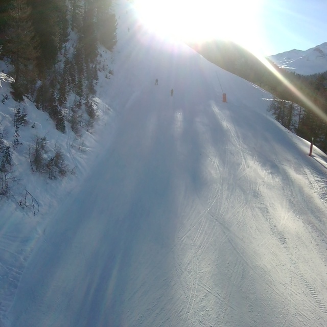
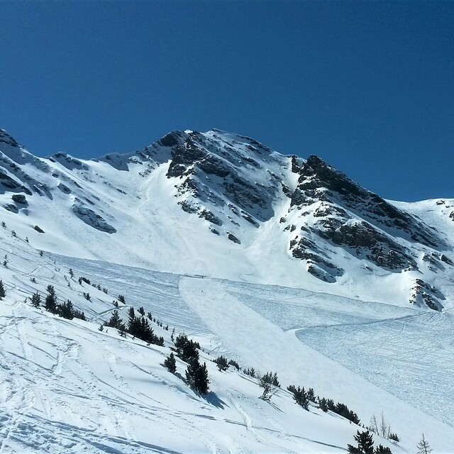
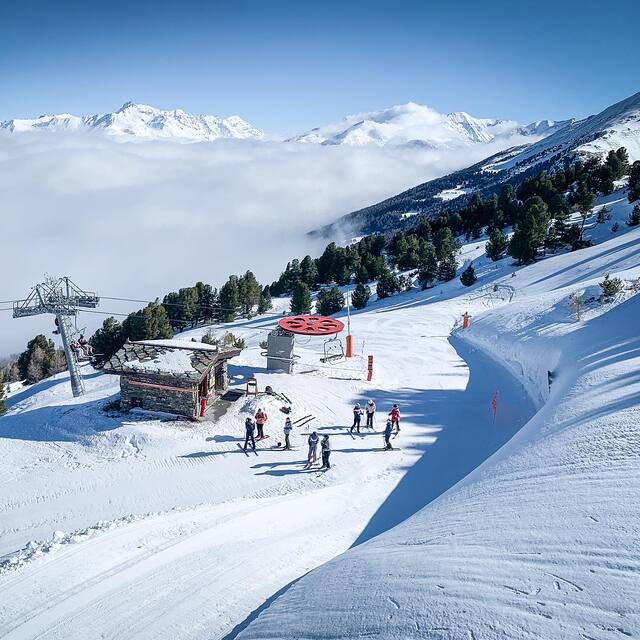
The village is typical french 1960's built, with a few ugly blocks but the skiing is varied and interesting, although a few of the lifts (older chairs) were very slow. It covers a wide section of the main mountainside and feels like you are travelling a bit rather than covering the same runs as you sometimes feel in other smaller resorts. Lots of stuff for all grades up the mountain including good snow-sure nursery slopes near the top of the gondola. Overall, well worth a visit if you are in the area, especially on the 3 resort lift pass arrangement with Valfrejus and Aussios.
Visited La Norma end March/early April 2010, just a day visit as we were staying at Valfrejus just 20mins up the road and it's on the same 3 resorts pass.
The village is typical french 1960's built, with a few ugly blocks but the skiing is varied and interesting, although a few of the lifts (older chairs) were very slow. It covers a wide section of the main mountainside and feels like you are travelling a bit rather than covering the same runs as you sometimes feel in other smaller resorts. Lots of stuff for all grades up the mountain including good snow-sure nursery slopes near the top of the gondola. Overall, well worth a visit if you are in the area, especially on the 3 resort lift pass arrangement with Valfrejus and Aussios.
Free Snow-Forecast.com weather widget for your website
Embed the La Norma weather widget on your site for free. It provides a weekly snapshot of snow and rain conditions across all elevations. Follow the two quick steps to grab your custom code and paste it into your site. Choose between metric or imperial units. Click here to get the code.


 Nearest