

Portillo Re-Opens To Guests Arriving By Helicopter
Chile’s famous Portillo ski resort is reported to have re-opened to guests arriving by helicopter after being cut off by road for more than two weeks by over 6m/20 feet of snowfall.

Next 3 days weather summary:Heavy rain (total 39.0mm), heaviest during Mon night. Warm (max 30°C on Mon afternoon, min 16°C on Tue night). Wind will be generally light. | Days 4-6 weather summary:Light rain (total 9.0mm), mostly falling on Thu afternoon. Warm (max 25°C on Sat afternoon, min 14°C on Thu night). Wind will be generally light. | |||||||||||||||||
Monday 3 | Tuesday 4 | Wednesday 5 | Thursday 6 | Friday 7 | Saturday 8 | |||||||||||||
AM | PM | night | AM | PM | night | AM | PM | night | AM | PM | night | AM | PM | night | AM | PM | night | |
clear | t-storm risk | rain shwrs | clear | t-storm risk | rain shwrs | clear | rain shwrs | clear | clear | mod. rain | rain shwrs | some clouds | some clouds | clear | clear | clear | clear | |
km/h | ||||||||||||||||||
Snow map |  |  |  |  |  |  | ||||||||||||
— | — | — | — | — | — | — | — | — | — | — | — | — | — | — | — | — | — | |
mm | — | 5 | 14 | — | 8 | 11 | — | 1 | — | — | 7 | 2 | — | — | — | — | — | — |
max °C | 28 | 30 | 19 | 24 | 26 | 17 | 24 | 26 | 23 | 24 | 21 | 17 | 18 | 22 | 20 | 21 | 25 | 21 |
min °C | 21 | 21 | 17 | 19 | 22 | 16 | 18 | 26 | 17 | 19 | 18 | 14 | 15 | 21 | 14 | 17 | 24 | 16 |
chill °C | 21 | 21 | 17 | 19 | 22 | 16 | 18 | 26 | 17 | 19 | 18 | 14 | 15 | 21 | 14 | 17 | 24 | 16 |
Humid % | 38 | 71 | 69 | 59 | 73 | 70 | 55 | 43 | 60 | 60 | 93 | 90 | 85 | 63 | 72 | 58 | 37 | 47 |
Freeze m | 4550 | 4300 | 4500 | 4450 | 4350 | 4400 | 4300 | 4350 | 4350 | 4300 | 4250 | 4150 | 4150 | 4250 | 4300 | 4300 | 4250 | 4250 |
6:16 | — | — | 6:16 | — | — | 6:18 | — | — | 6:20 | — | — | 6:20 | — | — | 6:22 | — | — | |
— | — | 9:00 | — | — | 9:00 | — | — | 8:59 | — | — | 8:57 | — | — | 8:55 | — | — | 8:53 | |
Go pro and carve into:
Avalanche information: European Avalanche Warning Services (EAWS)
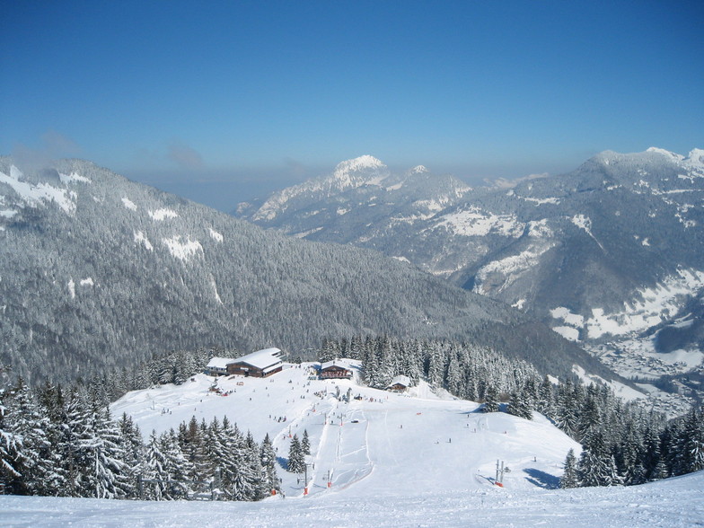
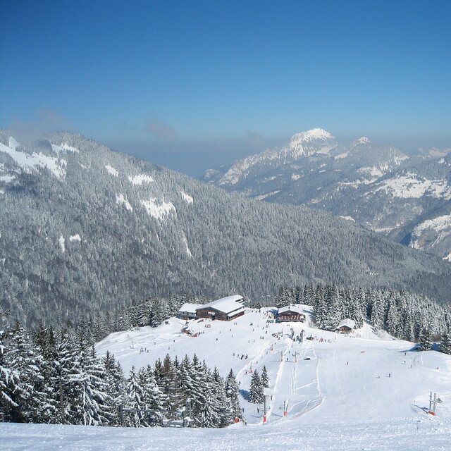
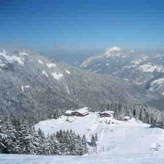
Latest snow reports near Saint-Jean d'Aulps La Grande Terche:
| Top snow depth: | — |
|---|---|
| Bottom snow depth: | — |
| Fresh snowfall depth: | — |
| Last snowfall: | 15 May 2026 |
| Snow Alerts | Create Alert |
0.0 | Bluebird Powder days Fresh snow, mostly sunny, light wind. |
|---|---|
0.0 | Powder days Fresh snow, limited sun, any wind. |
0.0 | Bluebird days Average snow, mostly sunny, light wind. |
The above table gives the weather forecast for Saint-Jean d'Aulps La Grande Terche at the specific elevation of 950 m. Our sophisticated weather models allow us to provide snow forecasts for the top, middle and bottom ski stations of Saint-Jean d'Aulps La Grande Terche. To access the weather forecasts for the other elevations, use the tab navigation above the table. For a wider view of the weather, check out the Weather Map of France.
Click here to read further information on freezing levels and how we forecast our temperatures.
Overall 4.1 Based on 14 votes and 10 reviews
Station familiale bénéficiant d'un magnifique circuit "roc d'enfer" permettant de skier longtemps sans prendre de remontées mécaniques..L'un des must de Alpes pour son côté nature. Quelques bons restos sur piste (La Licorne- L'Escale Blanche -Chez Aristide..entre autre) Du personnel de piste et remontées attentionné.. Une station à vivre...
Pierre Marie from France writes:
Station familiale bénéficiant d'un magnifique circuit "roc d'enfer" permettant de skier longtemps sans prendre de remontées mécaniques..L'un des must de Alpes pour son côté nature.
Quelques bons restos sur piste (La Licorne- L'Escale Blanche -Chez Aristide..entre autre)
Du personnel de piste et remontées attentionné..
Une station à vivre...
Read 9 more reviews of Saint-Jean d'Aulps La Grande Terche or submit your own


 Nearest