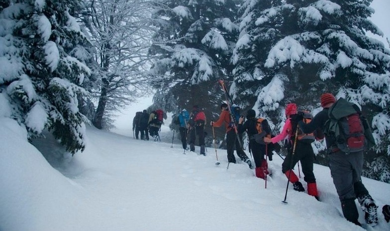


Portillo Storm Snowfall Total Passes 5m / 17 Feet
A snow storm that has now continued for nine days has taken Chilean ski resort Portillo to a snowfall total of 5.2 metres (17 feet) so far, with more snow forecast.

Next 3 days weather summary:Mostly dry. Warm (max 22°C on Sat afternoon, min 16°C on Thu morning). Wind will be generally light. | Days 4-6 weather summary:Mostly dry. Warm (max 22°C on Tue afternoon, min 15°C on Sun morning). Wind will be generally light. | |||||||||||||||||
Thursday 30 | Friday 31 | Saturday 1 | Sunday 2 | Monday 3 | Tuesday 4 | |||||||||||||
AM | PM | night | AM | PM | night | AM | PM | night | AM | PM | night | AM | PM | night | AM | PM | night | |
clear | clear | clear | clear | clear | clear | clear | clear | clear | clear | clear | clear | clear | cloudy | some clouds | clear | some clouds | clear | |
km/h | ||||||||||||||||||
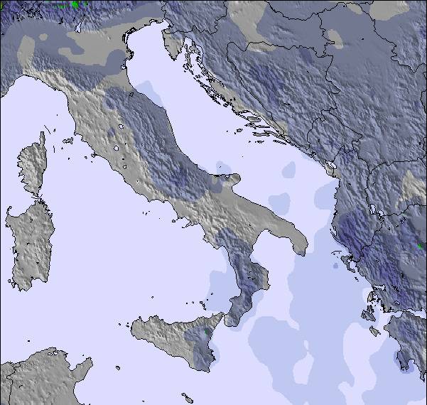
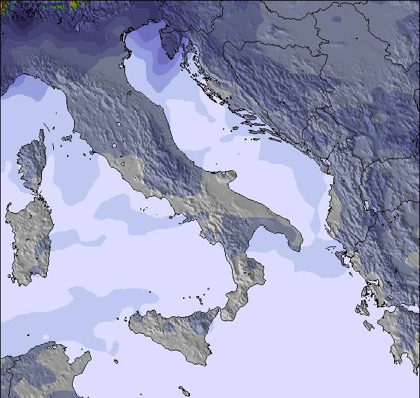
Snow map | 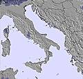 | 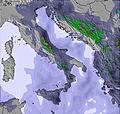 | 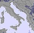 | 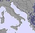 | 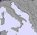 | 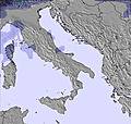 | ||||||||||||
— | — | — | — | — | — | — | — | — | — | — | — | — | — | — | — | — | — | |
mm | — | — | — | — | — | — | — | — | — | — | — | — | — | — | — | — | — | — |
max °C | 18 | 21 | 20 | 18 | 21 | 20 | 18 | 22 | 20 | 18 | 21 | 21 | 19 | 21 | 19 | 19 | 22 | 20 |
min °C | 16 | 20 | 17 | 16 | 20 | 16 | 16 | 20 | 16 | 15 | 20 | 17 | 16 | 19 | 17 | 17 | 20 | 18 |
chill °C | 16 | 20 | 17 | 16 | 20 | 16 | 16 | 20 | 16 | 15 | 20 | 17 | 16 | 19 | 17 | 17 | 20 | 18 |
Humid % | 37 | 33 | 35 | 39 | 27 | 36 | 29 | 21 | 35 | 34 | 23 | 27 | 27 | 31 | 36 | 30 | 32 | 37 |
Freeze m | 4650 | 4600 | 4550 | 4450 | 4650 | 4500 | 4400 | 4600 | 4400 | 4300 | 4550 | 4350 | 4200 | 4150 | 4300 | 4300 | 4450 | 4450 |
5:26 | — | — | 5:26 | — | — | 5:28 | — | — | 5:28 | — | — | 5:30 | — | — | 5:31 | — | — | |
— | 7:54 | — | — | 7:53 | — | — | 7:52 | — | — | 7:52 | — | — | 7:51 | — | — | 7:50 | — | |
Go pro and carve into:
Latest snow reports near Karadjica:
| Top snow depth: | — |
|---|---|
| Bottom snow depth: | — |
| Fresh snowfall depth: | — |
| Last snowfall: | 19 May 2026 |
| Snow Alerts | Create Alert |
0.0 | Bluebird Powder days Fresh snow, mostly sunny, light wind. |
|---|---|
0.0 | Powder days Fresh snow, limited sun, any wind. |
0.0 | Bluebird days Average snow, mostly sunny, light wind. |
The above table gives the weather forecast for Karadjica at the specific elevation of 1962 m. Our sophisticated weather models allow us to provide snow forecasts for the top, middle and bottom ski stations of Karadjica. To access the weather forecasts for the other elevations, use the tab navigation above the table. For a wider view of the weather, check out the Weather Map of Rep. of N. Macedonia.
Click here to read further information on freezing levels and how we forecast our temperatures.
Overall 1.0 Based on 1 vote and 2 reviews
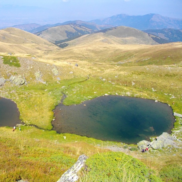
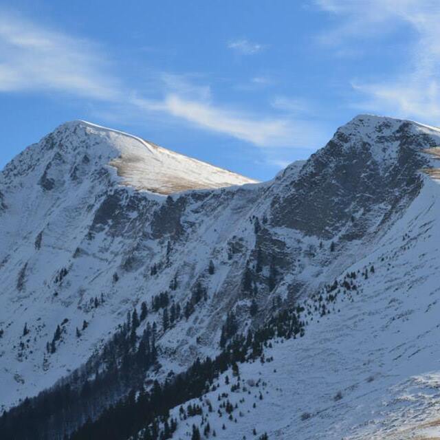
I lived in Skopje last year and skied here a fair bit. Short drive from Skopje to Patishka Reka. You can continue on with a 4x4 from there to where the snow begins, sometimes right in town. There's a good, clear trail up through the timber to the plateau. Plenty of open slopes above for exploring. This corner of Macedonia seems to get a lot of snow. The drainage faces directly north and is somewhat protected from the wind, helping it hold snow better than other areas. I have noticed some instability from time to time, so be careful!
Kevin from United States writes:
I lived in Skopje last year and skied here a fair bit.
Short drive from Skopje to Patishka Reka. You can continue on with a 4x4 from there to where the snow begins, sometimes right in town. There's a good, clear trail up through the timber to the plateau. Plenty of open slopes above for exploring.
This corner of Macedonia seems to get a lot of snow. The drainage faces directly north and is somewhat protected from the wind, helping it hold snow better than other areas. I have noticed some instability from time to time, so be careful!

 Nearest