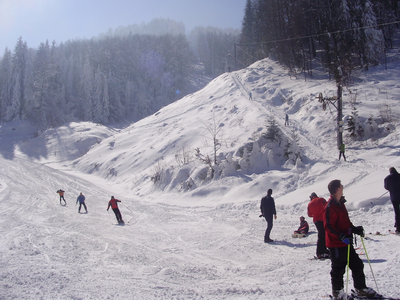

Browse the ski and snowboard runs on the Igriste - Vlasenica piste map below. Click the map to view a full-sized version of the trails at Igriste - Vlasenica ski resort.


Browse the ski and snowboard runs on the Igriste - Vlasenica piste map below. Click the map to view a full-sized version of the trails at Igriste - Vlasenica ski resort.
 Nearest