Issued by Snow-Forecast.com at:1 pm (local time) / 30 Jun 2026
Last 6 daysScroll left for last 6 daysNow
Next 3 days weather summary:
Heavy rain (total 41.0mm), heaviest during Wed afternoon. Very mild (max 13°C on Tue afternoon, min 4°C on Wed afternoon). Wind will be generally light.
Days 4-6 weather summary:
Mostly dry. Very mild (max 12°C on Sat afternoon, min 8°C on Fri night). Wind will be generally light.
The above table gives the weather forecast for Hochjoch-Schruns at the specific elevation of 2380 m. Our sophisticated weather models allow us to provide snow forecasts for the top, middle and bottom ski stations of Hochjoch-Schruns. To access the weather forecasts for the other elevations, use the tab navigation above the table. For a wider view of the weather, check out the Weather Map of Austria.
Click here to read further information on freezing levels and how we forecast our temperatures.
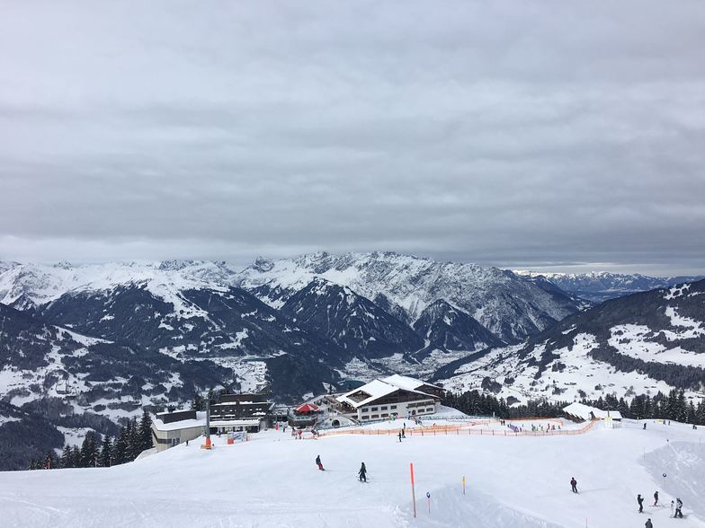
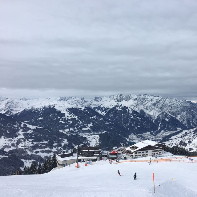
I am reluctant to write this as so few English people visit Schruns - and don't know what they are missing. Staying in Schruns gives access to not only the Hochjoch ski area, but also Golm, Sankt Gallenkirch and Gargellen - probably more than the 3 valleys in France, but is easy to reach - the first valley (Montafon) in Austria, its high so you can ski till after Easter, and its so beautiful. 10 years ago, we heard the Austrian and Germans in the lift queue refer to the English family but now there are more than just us. And don't take notice of the report above - there is a lot of off piste and extreme skiing from Kreuzjoch - its been on Extreme Ski TV programmes and there are great guides to take you around. we have skied all over - 3 valleys, St Anton (which is an easy journey from here) Val D'Isere etc but nowhere matches the Montafon valley. Plus stay in one of the many lovely houses - our favourite is Haus Kasimir.
I am reluctant to write this as so few English people visit Schruns - and don't know what they are missing. Staying in Schruns gives access to not only the Hochjoch ski area, but also Golm, Sankt Gallenkirch and Gargellen - probably more than the 3 valleys in France, but is easy to reach - the first valley (Montafon) in Austria, its high so you can ski till after Easter, and its so beautiful. 10 years ago, we heard the Austrian and Germans in the lift queue refer to the English family but now there are more than just us. And don't take notice of the report above - there is a lot of off piste and extreme skiing from Kreuzjoch - its been on Extreme Ski TV programmes and there are great guides to take you around. we have skied all over - 3 valleys, St Anton (which is an easy journey from here) Val D'Isere etc but nowhere matches the Montafon valley. Plus stay in one of the many lovely houses - our favourite is Haus Kasimir.
Free Snow-Forecast.com weather widget for your website
Embed the Hochjoch-Schruns weather widget on your site for free. It provides a weekly snapshot of snow and rain conditions across all elevations. Follow the two quick steps to grab your custom code and paste it into your site. Choose between metric or imperial units. Click here to get the code.


 Nearest