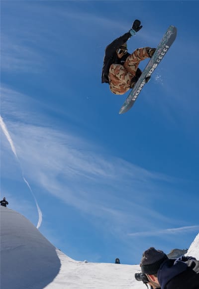
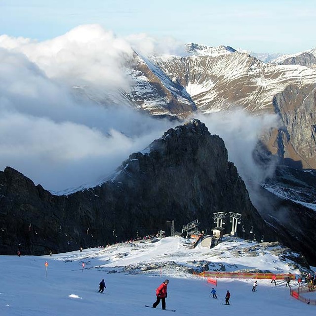
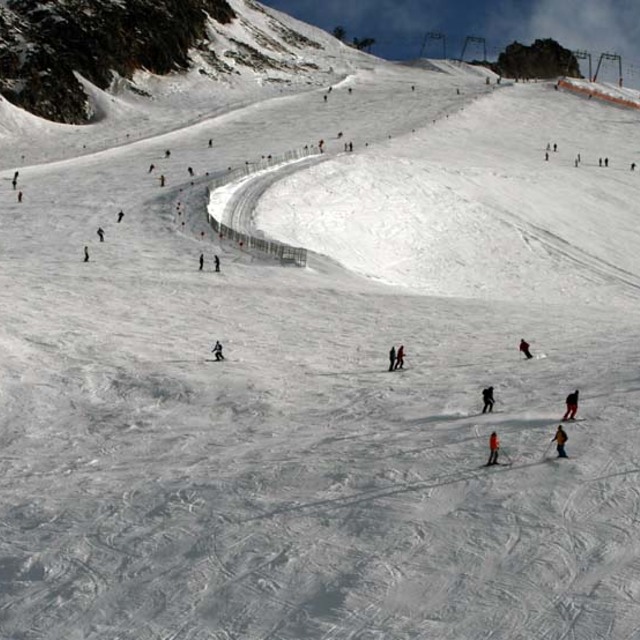
Hintertux snow
Ski Austria

Hintertux Snow Forecast

Weather Forecast for Hintertux at 2375 m
Issued: 7 pm  09 May 2025 (local time)

New snow in Hintertux

1.4cm0.6in
Sat 10th (AM)
The snow forecast for Hintertux is: A dusting of snow giving way to moderate rain (total 14.0mm) heaviest on Mon afternoon. Freeze-thaw conditions (max 4°C on Sun afternoon, min -1°C on Fri night). Wind will be generally light.

Hintertux Weather (Next 3 days): The snow forecast for Hintertux is: A dusting of snow giving way to moderate rain (total 14.0mm) heaviest on Mon afternoon. Freeze-thaw conditions (max 4°C on Sun afternoon, min -1°C on Fri night). Wind will be generally light.

Hintertux Weather (Days 4-6): Mostly dry. Freeze-thaw conditions (max 5°C on Wed afternoon, min -1°C on Mon night). Wind will be generally light.


Hintertux Live Weather

ResortSnow DepthTemp. (°C)Wind (km/h)Weather
Top Lift: 2.5m
-6
5
light snow
Middle Lift: 
-1
5
light snow
Bottom Lift: 
3
0
light rain
Powered by Snow-Forecast.comSnow-Forecast.com
6 Day Forecast
Issued: 7 pm 09 May 2025 / Updates in ::
Change Forecast Height
Choose Forecast
Last 6 daysScroll left for last 6 daysNow
Saturday
10
Sunday
11
Monday
12
Tuesday
13
Wednesday
14
Thursday
15
night
AM
PM
night
AM
PM
night
AM
PM
night
AM
PM
night
AM
PM
night
AM
PM
night
light snow
cloud
snow showers
snow showers
part cloud
rain showers
snow showers
rain showers
mod rain
snow showers
part cloud
part cloud
clear
clear
clear
part cloud
clear
part cloud
part cloud
light snow
cloudy
snow shwrs
snow shwrs
some clouds
rain shwrs
snow shwrs
rain shwrs
mod. rain
snow shwrs
some clouds
some clouds
clear
clear
clear
some clouds
clear
some clouds
some clouds
 km/h
5
SW
5
NNW
5
N
5
SSW
0
NE
0
SSE
5
SSW
5
N
10
NNE
5
NNW
5
NNE
10
N
5
NNW
5
N
10
N
0
NW
10
N
10
N
10
N
Snow map
 cm 
1.0
1.0
1.0
 mm 
1.0
3
2.0
1.0
7
max°C
-1
0
2
1
2
4
3
3
4
2
1
3
1
2
5
3
3
5
3
min°C
-1
-1
2
0
1
3
1
2
3
-1
0
3
-1
0
4
0
1
4
0
chill°C 
-1
-1
2
0
1
3
-1
2
1
-3
-2
1
-1
-2
2
0
-2
2
-4
Humid% 
94
77
78
86
79
76
86
83
89
86
59
56
77
48
48
79
46
57
83
Freezing level (m
2150
2400
2650
2350
2600
2850
2600
2750
2800
2400
2450
2750
2200
2600
2900
2400
2650
2900
2400
topliftbotliftSea lvl1000m2000m3000m4000m5000m
-7-6-5-5-5-4-4-4-3-5-6-5-6-5-4-5-5-4-5459481178115712591369137
Sunrise
5:43
5:43
5:41
5:39
5:39
5:37
Sunset
8:34
8:36
8:37
8:37
8:39
8:40

Snow Radar

Submit a report Eyeball Reporter

Latest snow reports near Hintertux:

  • 25 km away from Hintertux

    20 hours ago
    weather station observation

    Rain reported from Patscherkofel at 2252 metres elevation ENE of Patscherkofel but it is forecast cold enough for snow at the ski area from Patscherkofel

  • 25 km away from Hintertux

    24 hours ago
    weather station observation

    Rain reported from Patscherkofel at 2252 metres elevation ENE of Patscherkofel but it is forecast cold enough for snow at higher elevations in the ski area from Patscherkofel

Hintertux Snow Conditions

Top snow depth:245cm
Bottom snow depth:
Fresh snowfall depth:11cm
Last snowfall: 8 May 2025
Snow AlertsCreate Alert
Other resorts in Austria are reporting: powder (1) / good piste (1)

Snow-Forecast Partner Offers

Snow History

Week 2 of May has on average:
0.2
Bluebird Powder days
Fresh snow, mostly sunny, light wind.
1.0
Powder days
Fresh snow, limited sun, any wind.
0.1
Bluebird days
Average snow, mostly sunny, light wind.