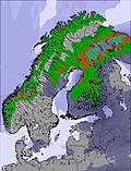
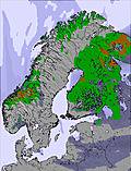
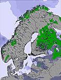
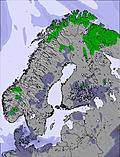
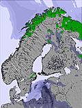
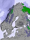
The above table gives the weather forecast for Hemavan and Tärnaby at the specific elevation of 648 m. Our sophisticated weather models allow us to provide snow forecasts for the top, middle and bottom ski stations of Hemavan and Tärnaby. To access the weather forecasts for the other elevations, use the tab navigation above the table. For a wider view of the weather, check out the Weather Map of Sweden.
Click here to read further information on freezing levels and how we forecast our temperatures.
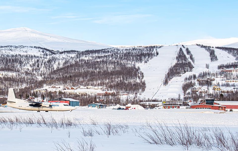
Resort name is also written as Hemavan and Tarnaby.
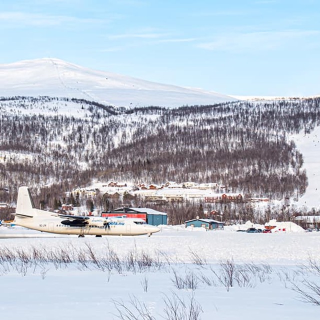
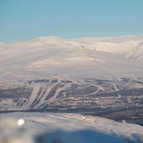
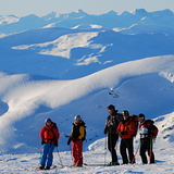
For beautiful nature,guaranteed snow and no large queues for the lifts,(Easter can be very hectic) I would recommend the small resorts of Tärnaby-Hemavan in Southern Lapland. Great runs, fantastic off-pist, heli-skiing, snowboarding, cross- country skiing and snow scooter paradise ! There's something for everyone .. even dog sledding ! Tärnaby is home of Alpine legends Ingemar Stenmark and Stig Strand, more recently, World Champion Anja Pärson. Best times to Ski - from February to end of April. However, November is great at the start of the season. It's a bit dark in December and January , but it's still a magical winter wonderland! Good New Years parties. For budget,comfortable accommodation with wonderful views check out www.TarnabyLapland.com . They're building a new Backpacker section ready for early 2006 season.
For beautiful nature,guaranteed snow and no large queues for the lifts,(Easter can be very hectic) I would recommend the small resorts of Tärnaby-Hemavan in Southern Lapland. Great runs, fantastic off-pist, heli-skiing, snowboarding, cross- country skiing and snow scooter paradise ! There's something for everyone .. even dog sledding ! Tärnaby is home of Alpine legends Ingemar Stenmark and Stig Strand, more recently, World Champion Anja Pärson. Best times to Ski - from February to end of April. However, November is great at the start of the season. It's a bit dark in December and January , but it's still a magical winter wonderland! Good New Years parties. For budget,comfortable accommodation with wonderful views check out www.TarnabyLapland.com . They're building a new Backpacker section ready for early 2006 season.
Free Snow-Forecast.com weather widget for your website
Embed the Hemavan and Tärnaby weather widget on your site for free. It provides a weekly snapshot of snow and rain conditions across all elevations. Follow the two quick steps to grab your custom code and paste it into your site. Choose between metric or imperial units. Click here to get the code.


 Nearest