

Global Weekly Snow Roundup #320
Weekly Snow News for the world, updated 25 June 2026: Chile and New Zealand's seasons proper set to begin, Tignes and Sunshine reopen for summer skiing. weekend as Riksgransen ends its 2026 season.

Next 4 days weather summary:Heavy rain (total 39.0mm), heaviest during Sat afternoon. Warm (max 23°C on Sun afternoon, min 16°C on Fri night). Wind will be generally light. | Days 5-7 weather summary:Moderate rain (total 13.0mm), heaviest on Mon night. Warm (max 20°C on Thu afternoon, min 10°C on Wed night). Wind will be generally light. | |||||||||||||||
Saturday 27 | Sunday 28 | Monday 29 | Tuesday 30 | Wednesday 1 | ||||||||||||
night | AM | PM | night | AM | PM | night | AM | PM | night | AM | PM | night | AM | PM | night | |
rain shwrs | rain shwrs | t-storm risk | rain shwrs | some clouds | t-storm risk | rain shwrs | t-storm risk | light rain | light rain | light rain | t-storm risk | rain shwrs | clear | clear | clear | |
km/h | ||||||||||||||||
Snow map |  |  |  |  |  |  | ||||||||||
— | — | — | — | — | — | — | — | — | — | — | — | — | — | — | — | |
mm | 6 | 1 | 10 | 7 | — | 5 | 6 | 1 | 3 | 5 | 1 | 3 | 4 | — | — | — |
max °C | 20 | 21 | 22 | 18 | 21 | 23 | 17 | 20 | 21 | 17 | 19 | 19 | 16 | 17 | 19 | 16 |
min °C | 16 | 18 | 20 | 16 | 18 | 22 | 16 | 18 | 20 | 15 | 16 | 19 | 13 | 15 | 19 | 10 |
chill °C | 16 | 18 | 20 | 16 | 18 | 22 | 16 | 18 | 20 | 15 | 16 | 19 | 12 | 15 | 19 | 9 |
Humid % | 76 | 62 | 75 | 73 | 54 | 57 | 66 | 51 | 50 | 68 | 54 | 63 | 78 | 47 | 32 | 49 |
Freeze m | 4550 | 4550 | 4650 | 4600 | 4550 | 4600 | 4500 | 4400 | 4500 | 4300 | 4200 | 4250 | 4150 | 3800 | 4000 | 4000 |
— | 5:39 | — | — | 5:39 | — | — | 5:41 | — | — | 5:41 | — | — | 5:41 | — | — | |
— | — | — | 9:22 | — | — | 9:22 | — | — | 9:22 | — | — | 9:22 | — | — | 9:22 | |
Go pro and carve into:
Avalanche information: European Avalanche Warning Services (EAWS)
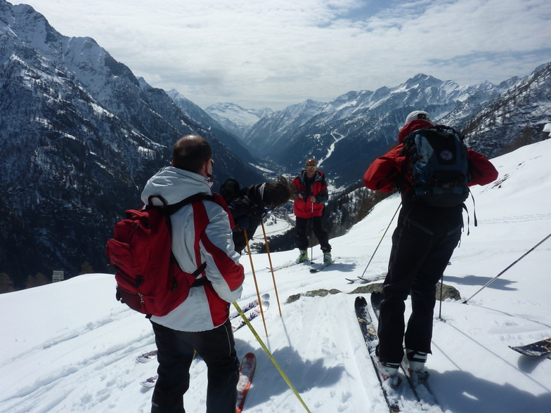
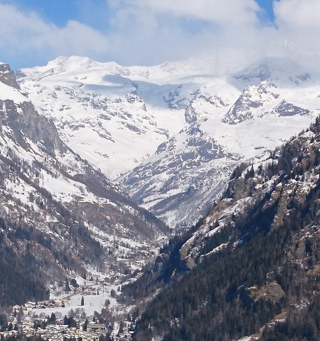
Latest snow reports near Gressoney-Saint-Jean:
| Top snow depth: | 0 cm |
|---|---|
| Bottom snow depth: | 0 cm |
| Fresh snowfall depth: | — |
| Last snowfall: | 15 May 2026 |
| Snow Alerts | Create Alert |
0.0 | Bluebird Powder days Fresh snow, mostly sunny, light wind. |
|---|---|
0.0 | Powder days Fresh snow, limited sun, any wind. |
0.0 | Bluebird days Average snow, mostly sunny, light wind. |


The above table gives the weather forecast for Gressoney-Saint-Jean at the specific elevation of 1686 m. Our sophisticated weather models allow us to provide snow forecasts for the top, middle and bottom ski stations of Gressoney-Saint-Jean. To access the weather forecasts for the other elevations, use the tab navigation above the table. For a wider view of the weather, check out the Weather Map of Italy.
Click here to read further information on freezing levels and how we forecast our temperatures.
Overall 3.9 Based on 11 votes and 1 review
Was staying in Gressoney, so got the ski bus down. It's a small area, one slow 2 man chair, and several pistes, probably enough for a morning's skiing, which is what we did. Pistes are mainly through the trees, with the blue surprisingly long. The floodlit black is quite tricky if conditions aren't great, i.e icy. The resort is probably better with fresh snow as there's some good off-piste between the trees when conditions allow. But if conditions are that good, you might as well stay in Gressoney/Alagna and go off-piste there. It's really only worth going if you're a Gressoney regular and curious. But your curiosity will be sated after just a few hours.
bradley from United Kingdom writes:
Was staying in Gressoney, so got the ski bus down. It's a small area, one slow 2 man chair, and several pistes, probably enough for a morning's skiing, which is what we did. Pistes are mainly through the trees, with the blue surprisingly long. The floodlit black is quite tricky if conditions aren't great, i.e icy. The resort is probably better with fresh snow as there's some good off-piste between the trees when conditions allow. But if conditions are that good, you might as well stay in Gressoney/Alagna and go off-piste there. It's really only worth going if you're a Gressoney regular and curious. But your curiosity will be sated after just a few hours.
Click here to submit your own review of Gressoney-Saint-Jean


 Nearest