

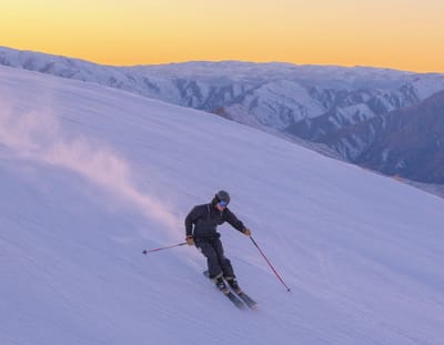
Global Weekly Snow Roundup #322
Weekly Global Snow News, updated 8 July 2026: New Zealand leads with 80cm (32”) snowfall, while Australia and the Andes improve as Northern Hemisphere summer skiing declines.

Next 3 days weather summary:Light rain (total 9.0mm), mostly falling on Fri night. Very mild (max 14°C on Fri afternoon, min 9°C on Fri night). Wind will be generally light. | Days 4-6 weather summary:Moderate rain (total 11.0mm), heaviest on Mon night. Very mild (max 16°C on Wed afternoon, min 9°C on Mon night). Wind will be generally light. | |||||||||||||||||
Friday 10 | Saturday 11 | Sunday 12 | Monday 13 | Tuesday 14 | Wednesday 15 | |||||||||||||
AM | PM | night | AM | PM | night | AM | PM | night | AM | PM | night | AM | PM | night | AM | PM | night | |
clear | some clouds | rain shwrs | t-storm risk | t-storm risk | rain shwrs | clear | clear | clear | clear | t-storm risk | rain shwrs | clear | some clouds | clear | clear | clear | rain shwrs | |
km/h | ||||||||||||||||||
Snow map |  |  |  |  |  |  | ||||||||||||
— | — | — | — | — | — | — | — | — | — | — | — | — | — | — | — | — | — | |
mm | — | — | 5 | 1 | 1 | 2 | — | — | — | — | 1 | 9 | — | — | — | — | — | 1 |
max °C | 12 | 14 | 12 | 12 | 14 | 12 | 12 | 14 | 12 | 12 | 14 | 11 | 12 | 15 | 13 | 13 | 16 | 14 |
min °C | 10 | 14 | 9 | 10 | 14 | 9 | 10 | 14 | 9 | 10 | 13 | 9 | 10 | 14 | 9 | 10 | 14 | 10 |
chill °C | 9 | 14 | 9 | 10 | 14 | 8 | 9 | 14 | 9 | 10 | 12 | 8 | 10 | 13 | 7 | 8 | 13 | 10 |
Humid % | 54 | 53 | 75 | 60 | 49 | 58 | 35 | 42 | 69 | 63 | 61 | 70 | 58 | 44 | 55 | 46 | 38 | 62 |
Freeze m | 4100 | 4350 | 4150 | 4050 | 4300 | 4100 | 4100 | 4300 | 4100 | 4100 | 4350 | 4200 | 4100 | 4350 | 4150 | 4200 | 4500 | 4400 |
5:28 | — | — | 5:28 | — | — | 5:30 | — | — | 5:31 | — | — | 5:31 | — | — | 5:33 | — | — | |
— | — | 9:07 | — | — | 9:07 | — | — | 9:06 | — | — | 9:05 | — | — | 9:05 | — | — | 9:04 | |
Go pro and carve into:
Avalanche information: European Avalanche Warning Services (EAWS)
Latest snow reports near Gitschberg-Jochtal:
| Top snow depth: | 0 cm |
|---|---|
| Bottom snow depth: | 0 cm |
| Fresh snowfall depth: | — |
| Last snowfall: | 10 Jun 2026 |
| Snow Alerts | Create Alert |
0.0 | Bluebird Powder days Fresh snow, mostly sunny, light wind. |
|---|---|
0.0 | Powder days Fresh snow, limited sun, any wind. |
0.0 | Bluebird days Average snow, mostly sunny, light wind. |
The above table gives the weather forecast for Gitschberg-Jochtal at the specific elevation of 2512 m. Our sophisticated weather models allow us to provide snow forecasts for the top, middle and bottom ski stations of Gitschberg-Jochtal. To access the weather forecasts for the other elevations, use the tab navigation above the table. For a wider view of the weather, check out the Weather Map of Italy.
Click here to read further information on freezing levels and how we forecast our temperatures.


 Nearest