The above table gives the weather forecast for Flaine at the specific elevation of 1585 m. Our sophisticated weather models allow us to provide snow forecasts for the top, middle and bottom ski stations of Flaine. To access the weather forecasts for the other elevations, use the tab navigation above the table. For a wider view of the weather, check out the Weather Map of France.
Click here to read further information on freezing levels and how we forecast our temperatures.
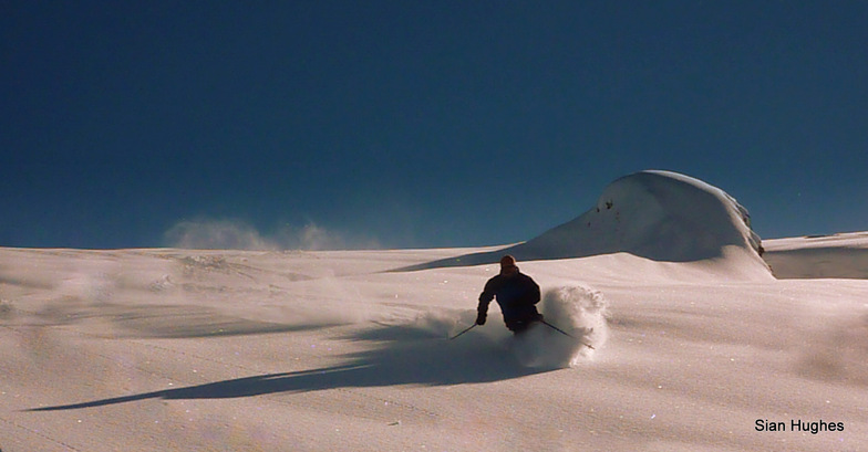
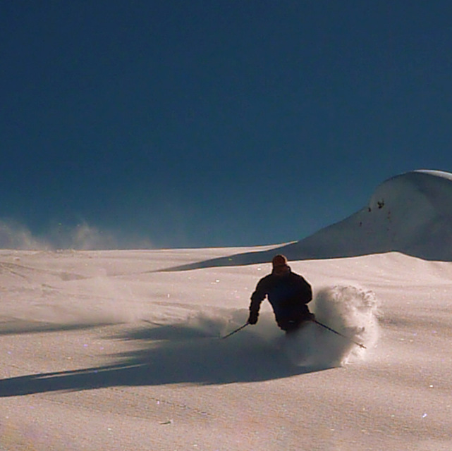
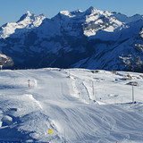
Flaine: if you are driving, make sure that your tank is full of petrol before you leave the autoroute at exit 19. The only petrol stops are self-service and require a credit card to pay. There are not any service staff to take cash. The 26 km road up to Flaine is twisting and curving and often without any guard rails. With snow, you must use chains. Make sure that you know how to put them on since there is not a service station that will put them on for you. I like to ski at Flaine since it is a wide open bowl. There are some magic carpets (their name for a moving carpet) that transport you up a small hill. These carpets are not for the inexperienced. Getting on without falling is difficult. Getting off is even more difficult. And when you fall getting off the operator takes a puff on his cigarette, laughs and tells you to get out of the way since other people are behind you. Many people manage to get on and off without problems. I have problems. Walking to the nearest chair lift is a long walk uphill with skis, boots and poles. But, I keep returning to Flaine since Flaine is 1600 meters (reasonably high) and the snow is normally good on the piste. Outdoor parking costs Euro 3 per 12 hours. Very reasonable for an Alpine ski resort.
Flaine: if you are driving, make sure that your tank is full of petrol before you leave the autoroute at exit 19. The only petrol stops are self-service and require a credit card to pay. There are not any service staff to take cash. The 26 km road up to Flaine is twisting and curving and often without any guard rails. With snow, you must use chains. Make sure that you know how to put them on since there is not a service station that will put them on for you. I like to ski at Flaine since it is a wide open bowl. There are some magic carpets (their name for a moving carpet) that transport you up a small hill. These carpets are not for the inexperienced. Getting on without falling is difficult. Getting off is even more difficult. And when you fall getting off the operator takes a puff on his cigarette, laughs and tells you to get out of the way since other people are behind you. Many people manage to get on and off without problems. I have problems. Walking to the nearest chair lift is a long walk uphill with skis, boots and poles. But, I keep returning to Flaine since Flaine is 1600 meters (reasonably high) and the snow is normally good on the piste. Outdoor parking costs Euro 3 per 12 hours. Very reasonable for an Alpine ski resort.
Free Snow-Forecast.com weather widget for your website
Embed the Flaine weather widget on your site for free. It provides a weekly snapshot of snow and rain conditions across all elevations. Follow the two quick steps to grab your custom code and paste it into your site. Choose between metric or imperial units. Click here to get the code.


 Nearest