


Global Weekly Snow Roundup #324
Weekly Snow News for World, updated 23 July 2026: South America’s 2026 season roars back with over 4m (13ft) of snowfall, while Saas-Fee opens and North America’s last lift-served skiing ends.

Next 3 days weather summary:Light rain (total 4.0mm), mostly falling on Thu afternoon. Warm (max 26°C on Sun morning, min 8°C on Thu night). Wind will be generally light. | Days 4-6 weather summary:Heavy rain (total 47.0mm), heaviest during Sun afternoon. Warm (max 24°C on Tue afternoon, min 12°C on Sun night). Wind will be generally light. | ||||||||||||||||
Thu 23 | Friday 24 | Saturday 25 | Sunday 26 | Monday 27 | Tuesday 28 | ||||||||||||
PM | night | AM | PM | night | AM | PM | night | AM | PM | night | AM | PM | night | AM | PM | night | |
rain shwrs | rain shwrs | clear | clear | some clouds | some clouds | some clouds | some clouds | some clouds | heavy rain | rain shwrs | t-storm risk | light rain | rain shwrs | clear | clear | clear | |
km/h | |||||||||||||||||
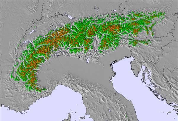
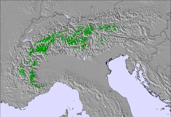
Snow map | 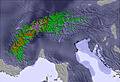 | 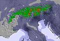 | 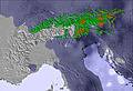 | 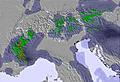 | 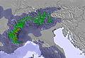 | 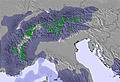 | |||||||||||
— | — | — | — | — | — | — | — | — | — | — | — | — | — | — | — | — | |
mm | 1 | 3 | — | — | — | — | — | — | — | 27 | 12 | 2 | 4 | 2 | — | — | — |
max °C | 20 | 14 | 17 | 19 | 15 | 20 | 25 | 18 | 26 | 22 | 15 | 16 | 18 | 16 | 21 | 24 | 18 |
min °C | 18 | 8 | 13 | 19 | 9 | 14 | 24 | 14 | 20 | 16 | 12 | 16 | 16 | 13 | 17 | 24 | 12 |
chill °C | 18 | 5 | 12 | 19 | 9 | 14 | 24 | 14 | 20 | 16 | 11 | 16 | 16 | 12 | 17 | 24 | 12 |
Humid % | 57 | 81 | 47 | 39 | 64 | 45 | 36 | 66 | 43 | 87 | 75 | 85 | 72 | 82 | 51 | 40 | 74 |
Freeze m | 2900 | 2450 | 2650 | 3100 | 3500 | 3800 | 3800 | 4250 | 3800 | 3700 | 3450 | 3200 | 3300 | 3150 | 3650 | 3900 | 4250 |
— | — | 5:26 | — | — | 5:26 | — | — | 5:28 | — | — | 5:30 | — | — | 5:31 | — | — | |
— | 8:45 | — | — | 8:44 | — | — | 8:43 | — | — | 8:42 | — | — | 8:39 | — | — | 8:38 | |
Go pro and carve into:
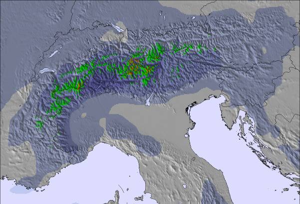
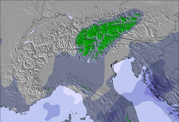
Avalanche information: European Avalanche Warning Services (EAWS)
Latest snow reports near Etmissl:
| Top snow depth: | — |
|---|---|
| Bottom snow depth: | — |
| Fresh snowfall depth: | — |
| Last snowfall: | 15 May 2026 |
| Snow Alerts | Create Alert |
0.0 | Bluebird Powder days Fresh snow, mostly sunny, light wind. |
|---|---|
0.0 | Powder days Fresh snow, limited sun, any wind. |
0.0 | Bluebird days Average snow, mostly sunny, light wind. |
The above table gives the weather forecast for Etmissl at the specific elevation of 713 m. Our sophisticated weather models allow us to provide snow forecasts for the top, middle and bottom ski stations of Etmissl. To access the weather forecasts for the other elevations, use the tab navigation above the table. For a wider view of the weather, check out the Weather Map of Austria.
Click here to read further information on freezing levels and how we forecast our temperatures.

 Nearest