

Portillo Storm Snowfall Total Passes 5m / 17 Feet
A snow storm that has now continued for nine days has taken Chilean ski resort Portillo to a snowfall total of 5.2 metres (17 feet) so far, with more snow forecast.

Next 3 days weather summary:Mostly dry. Warm (max 30°C on Thu afternoon, min 18°C on Tue night). Wind will be generally light. | Days 4-6 weather summary:Light rain (total 5.0mm), mostly falling on Fri night. Warm (max 29°C on Fri afternoon, min 17°C on Fri night). Wind will be generally light. | ||||||||||||||||
Tue 28 | Wednesday 29 | Thursday 30 | Friday 31 | Saturday 1 | Sunday 2 | ||||||||||||
PM | night | AM | PM | night | AM | PM | night | AM | PM | night | AM | PM | night | AM | PM | night | |
clear | some clouds | clear | clear | clear | clear | some clouds | some clouds | some clouds | some clouds | light rain | clear | clear | rain shwrs | clear | some clouds | clear | |
km/h | |||||||||||||||||
Snow map |  |  |  |  |  |  | |||||||||||
— | — | — | — | — | — | — | — | — | — | — | — | — | — | — | — | — | |
mm | — | — | — | — | — | — | — | — | — | — | 3 | — | — | 2 | — | — | — |
max °C | 25 | 22 | 25 | 28 | 24 | 28 | 30 | 26 | 26 | 29 | 19 | 25 | 28 | 24 | 25 | 29 | 25 |
min °C | 25 | 18 | 20 | 27 | 20 | 22 | 30 | 20 | 22 | 27 | 17 | 20 | 27 | 18 | 20 | 28 | 20 |
chill °C | 25 | 18 | 20 | 27 | 20 | 22 | 30 | 20 | 22 | 27 | 17 | 20 | 27 | 18 | 20 | 28 | 20 |
Humid % | 42 | 54 | 43 | 25 | 26 | 21 | 21 | 43 | 33 | 36 | 49 | 43 | 35 | 63 | 45 | 31 | 40 |
Freeze m | 4650 | 4500 | 4400 | 4500 | 4700 | 4650 | 4650 | 4750 | 4650 | 4650 | 4600 | 4350 | 4550 | 4550 | 4600 | 4700 | 4650 |
— | — | 6:09 | — | — | 6:11 | — | — | 6:11 | — | — | 6:13 | — | — | 6:15 | — | — | |
— | 9:08 | — | — | 9:07 | — | — | 9:07 | — | — | 9:05 | — | — | 9:04 | — | — | 9:02 | |
Go pro and carve into:
Avalanche information: European Avalanche Warning Services (EAWS)
Latest snow reports near Drouzin Le Mont:
No information received. Another glorious day. from La Giettaz en Aravis
| Top snow depth: | — |
|---|---|
| Bottom snow depth: | — |
| Fresh snowfall depth: | — |
| Last snowfall: | 16 May 2026 |
| Snow Alerts | Create Alert |
0.0 | Bluebird Powder days Fresh snow, mostly sunny, light wind. |
|---|---|
0.0 | Powder days Fresh snow, limited sun, any wind. |
0.0 | Bluebird days Average snow, mostly sunny, light wind. |
The above table gives the weather forecast for Drouzin Le Mont at the specific elevation of 1151 m. Our sophisticated weather models allow us to provide snow forecasts for the top, middle and bottom ski stations of Drouzin Le Mont. To access the weather forecasts for the other elevations, use the tab navigation above the table. For a wider view of the weather, check out the Weather Map of France.
Click here to read further information on freezing levels and how we forecast our temperatures.
Overall 2.5 Based on 3 votes and 1 review
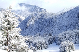
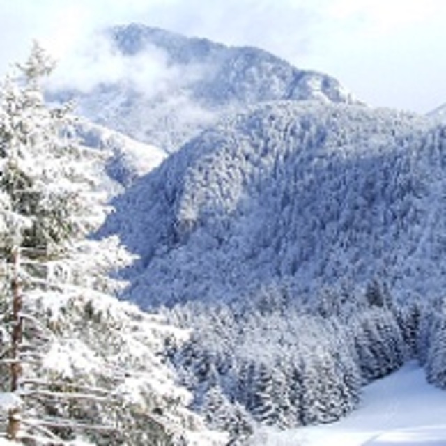
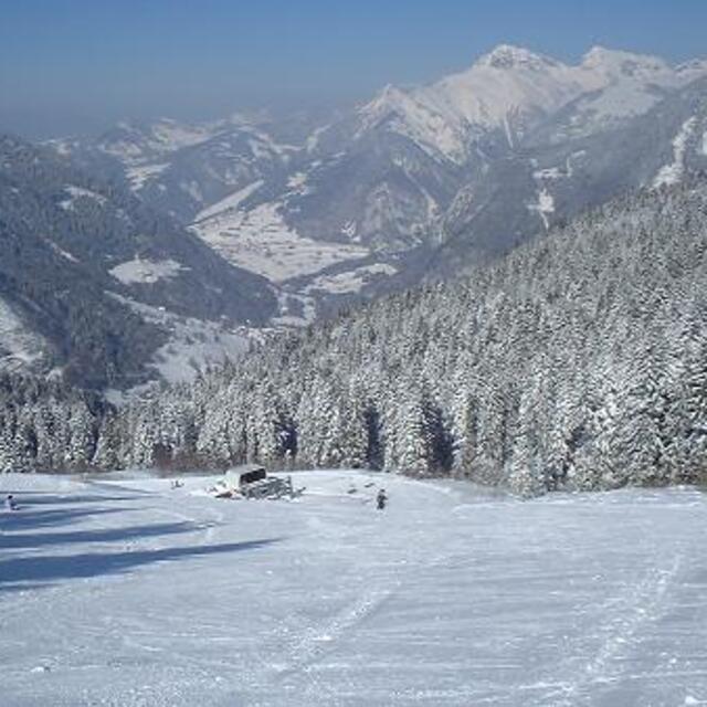
Drouzin le Mont, situated at the top of the beautiful Col du Corbier is a charming family friendly ski resort. Ideal for beginners and intermediate skiers and snowboarders, it offers wide open blues, steep black, challenging reds, and tree lined green runs through the forest. All of the accommodation faces the pistes, so the less active may observe their more active colleagues, and parents can watch their children taking their first steps on snow from the comfort of their balcony.
paul from France writes:
Drouzin le Mont, situated at the top of the beautiful Col du Corbier is a charming family friendly ski resort. Ideal for beginners and intermediate skiers and snowboarders, it offers wide open blues, steep black, challenging reds, and tree lined green runs through the forest. All of the accommodation faces the pistes, so the less active may observe their more active colleagues, and parents can watch their children taking their first steps on snow from the comfort of their balcony.


 Nearest