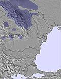
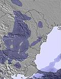
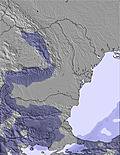
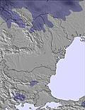
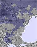
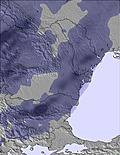
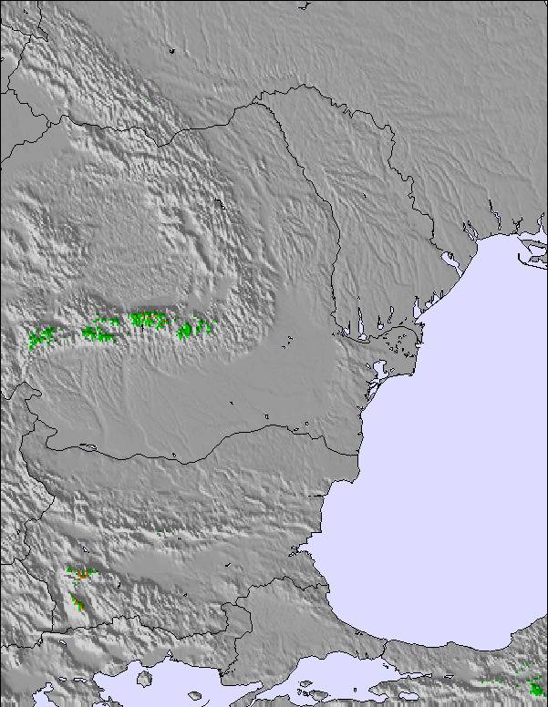
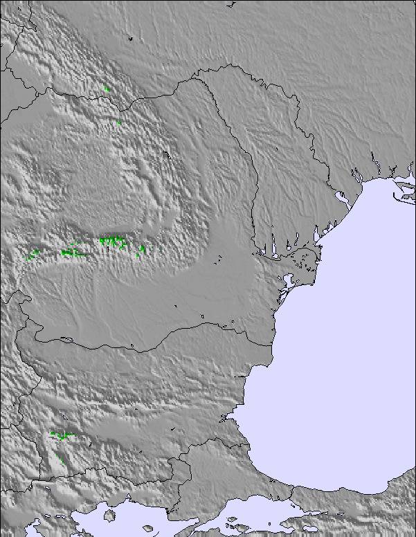
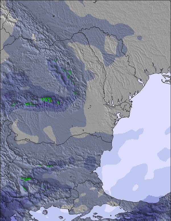
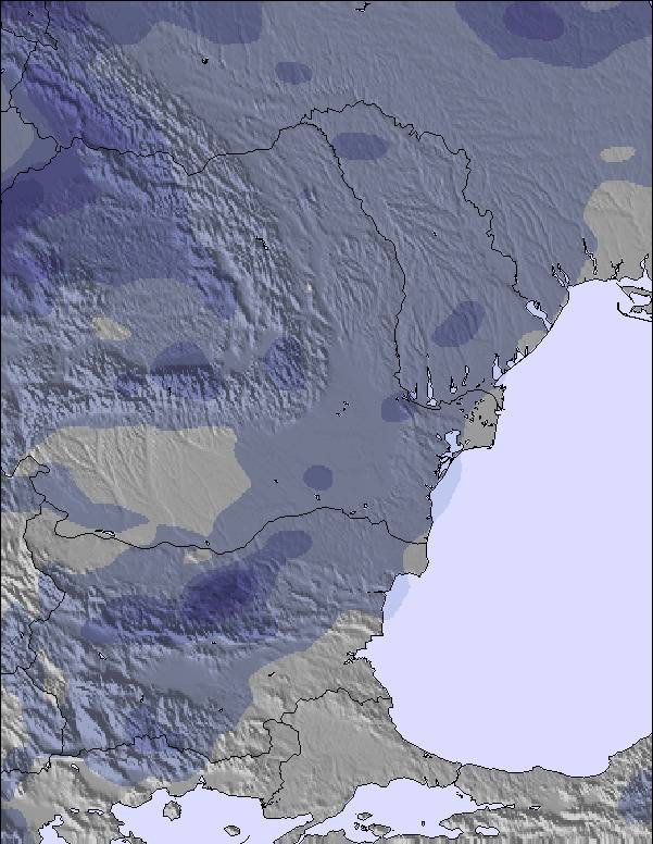
The above table gives the weather forecast for Drahobrat at the specific elevation of 1353 m. Our sophisticated weather models allow us to provide snow forecasts for the top, middle and bottom ski stations of Drahobrat. To access the weather forecasts for the other elevations, use the tab navigation above the table. For a wider view of the weather, check out the Weather Map of Ukraine.
Click here to read further information on freezing levels and how we forecast our temperatures.
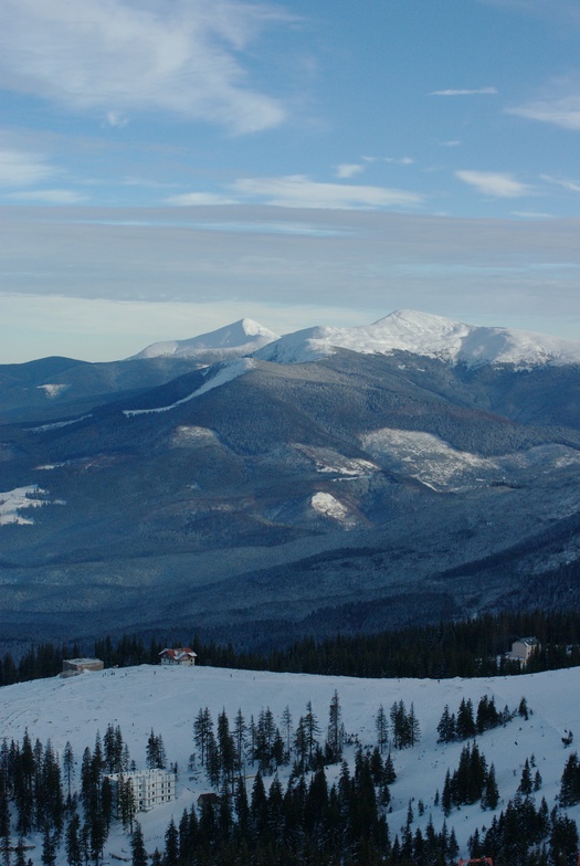
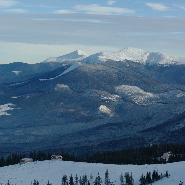
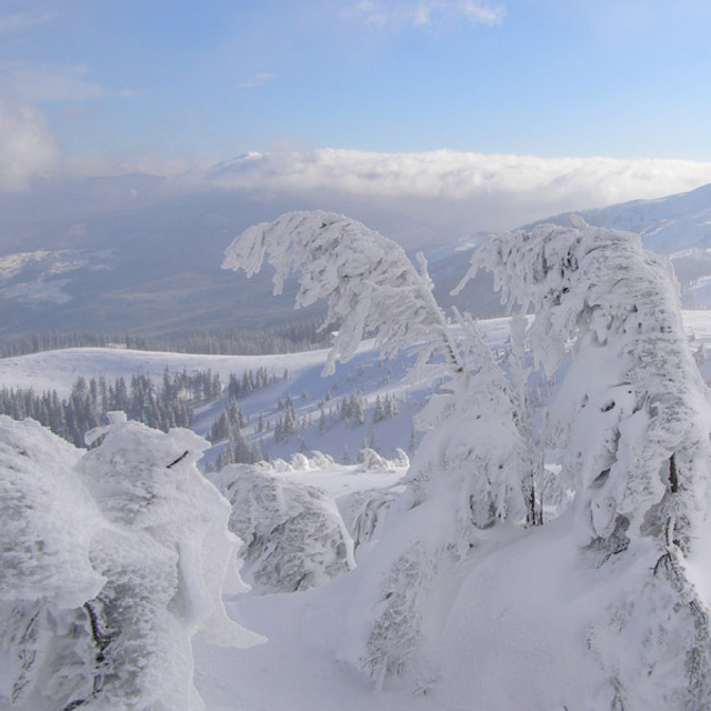
The most extreme ski resort in Ukraine. The dangerous and steep "road" is shocking, but is the compulsory part of try extreme skiing. Although the infrastructure is very poor, it has been steadily improving for recent couple of years. But all drawbacks of unprepared slopes, ancient lifts and situation when you are completely cut off the civilized world is offset by formidable off-piste skiing. The area at the far right side in the trees is almost the best experience I've ever had. It is true, that many people don't find classic ski resort they expected for and dislike this place, but true extreme lovers will be in love with Dragobrat for many years. The beautiful nature and breathtaking landscapes are also crucial part of the true spirit you will never find anywhere.
The most extreme ski resort in Ukraine. The dangerous and steep "road" is shocking, but is the compulsory part of try extreme skiing. Although the infrastructure is very poor, it has been steadily improving for recent couple of years. But all drawbacks of unprepared slopes, ancient lifts and situation when you are completely cut off the civilized world is offset by formidable off-piste skiing. The area at the far right side in the trees is almost the best experience I've ever had. It is true, that many people don't find classic ski resort they expected for and dislike this place, but true extreme lovers will be in love with Dragobrat for many years. The beautiful nature and breathtaking landscapes are also crucial part of the true spirit you will never find anywhere.
Free Snow-Forecast.com weather widget for your website
Embed the Drahobrat weather widget on your site for free. It provides a weekly snapshot of snow and rain conditions across all elevations. Follow the two quick steps to grab your custom code and paste it into your site. Choose between metric or imperial units. Click here to get the code.


 Nearest