North America Weekly Snow Roundup #308
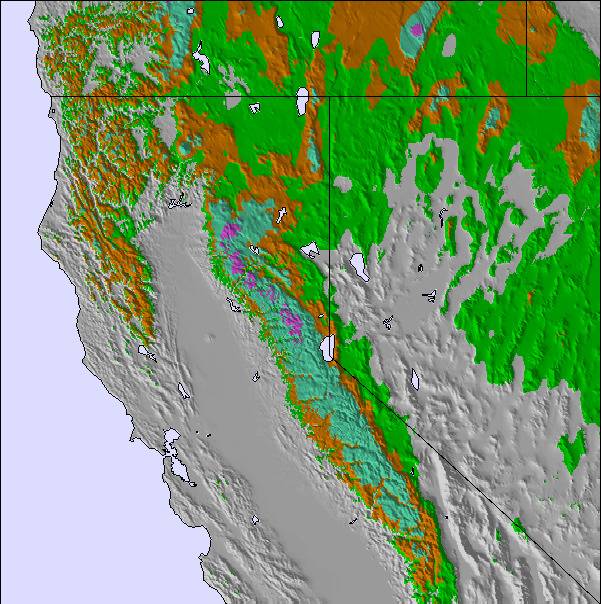
Weekly Snow News for North America, updated 2 April 2026: US resorts close early amid +20°C warmth, while Canada sees up to 64cm (26") snowfall and strong coverage.

Diamond Peak Weather (Next 3 days): The snow forecast for Diamond Peak is: Mostly dry. Freeze-thaw conditions (max 8°C on Sat afternoon, min -4°C on Thu morning). Winds decreasing (strong winds from the WSW on Thu morning, light winds from the ESE by Fri night).
Diamond Peak Weather (Days 4-6): Mostly dry. Very mild (max 11°C on Mon afternoon, min 4°C on Tue night). Wind will be generally light.
| Resort | Snow Depth | Temp. (°C) | Wind (km/h) | Weather | ||
|---|---|---|---|---|---|---|
| Top Lift: | 0.0 m | -6 | ||||
| Middle Lift: | -4 | |||||
| Bottom Lift: | 0.0 m | -2 |

Thursday 2 | Friday 3 | Saturday 4 | Sunday 5 | Monday 6 | Tuesday 7 | |||||||||||||
AM | PM | night | AM | PM | night | AM | PM | night | AM | PM | night | AM | PM | night | AM | PM | night | |
snow shwrs | some clouds | clear | clear | clear | clear | clear | clear | clear | clear | clear | some clouds | some clouds | some clouds | clear | clear | clear | clear | |
km/h | ||||||||||||||||||
Snow map | 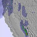 | 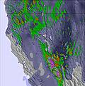 | 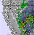 | 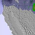 | 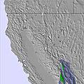 | 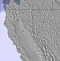 | ||||||||||||
— | — | — | — | — | — | — | — | — | — | — | — | — | — | — | — | — | — | |
— | — | — | — | — | — | — | — | — | — | — | — | — | — | — | — | — | — | |
max °C | -3 | 0 | -1 | 3 | 5 | 4 | 6 | 8 | 6 | 8 | 10 | 8 | 9 | 11 | 7 | 8 | 10 | 7 |
min °C | -4 | -2 | -2 | 0 | 4 | 3 | 4 | 7 | 6 | 6 | 9 | 7 | 7 | 10 | 5 | 6 | 9 | 4 |
-14 | -7 | -6 | -6 | 0 | 1 | 2 | 6 | 4 | 4 | 9 | 7 | 6 | 7 | 2 | 4 | 6 | 1 | |
47 | 65 | 36 | 21 | 23 | 26 | 20 | 28 | 24 | 23 | 27 | 43 | 34 | 42 | 50 | 37 | 37 | 47 | |
1950 | 2300 | 1850 | 2950 | 3050 | 3400 | 3350 | 3300 | 3450 | 3350 | 3650 | 3550 | 3450 | 3500 | 3350 | 3300 | 3450 | 3250 | |
6:43 | — | — | 6:41 | — | — | 6:39 | — | — | 6:37 | — | — | 6:37 | — | — | 6:35 | — | — | |
— | 7:23 | — | — | 7:24 | — | — | 7:25 | — | — | 7:27 | — | — | 7:28 | — | — | 7:29 | — | |
Mostly dry. Freeze-thaw conditions (max 8°C on Sat afternoon, min -4°C on Thu morning). Winds decreasing (strong winds from the WSW on Thu morning, light winds from the ESE by Fri night).
Mostly dry. Very mild (max 11°C on Mon afternoon, min 4°C on Tue night). Wind will be generally light.
Latest snow reports near Diamond Peak:
Light snow reported from Truckee Tahoe Airport at 5801 feet only 3 miles NW of Northstar at Tahoe Ski Resort from Northstar at Tahoe
Light rain reported from Truckee Tahoe Airport at 5801 feet only 3 miles NW of Northstar at Tahoe but it is forecast cold enough for snow at the ski area from Northstar at Tahoe
Drizzle reported from Truckee Tahoe Airport at 5801 feet only 3 miles NW of Northstar at Tahoe but it is forecast cold enough for snow at the ski area from Northstar at Tahoe
| Top snow depth: | 0 cm |
|---|---|
| Bottom snow depth: | 0 cm |
| Fresh snowfall depth: | 20 cm |
| Last snowfall: | 1 Apr 2026 |
| Snow Alerts | Create Alert |
0.6 | Bluebird Powder days Fresh snow, mostly sunny, light wind. |
|---|---|
0.6 | Powder days Fresh snow, limited sun, any wind. |
0.6 | Bluebird days Average snow, mostly sunny, light wind. |
The above table gives the weather forecast for Diamond Peak at the specific elevation of 2322 m. Our sophisticated weather models allow us to provide snow forecasts for the top, middle and bottom ski stations of Diamond Peak. To access the weather forecasts for the other elevations, use the tab navigation above the table. For a wider view of the weather, check out the Weather Map of United States.
Click here to read further information on freezing levels and how we forecast our temperatures.
Overall 2.7 Based on 11 votes and 1 review
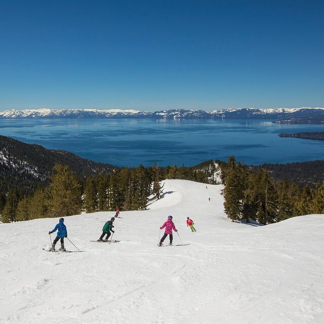
Beautiful lakeview scenery, varied terrain for all levels, keeps powder snow on the ungroomed runs (knee deep for two days last week), very friendly and family oriented.
Powderhound from United States writes:
Beautiful lakeview scenery, varied terrain for all levels, keeps powder snow on the ungroomed runs (knee deep for two days last week), very friendly and family oriented.

 Nearest