

Banff Sunshine Village Opening for Summer Skiing
Banff Sunshine Village has confirmed it will reopen for a fortnight of summer skiing, from this weekend. The only ski area in Canada to be open into July.

Next 3 days weather summary:Mostly dry. Warm (max 24°C on Tue afternoon, min 10°C on Wed night). Winds increasing (calm on Tue morning, fresh winds from the WSW by Thu afternoon). | Days 4-6 weather summary:Mostly dry. Very mild (max 16°C on Fri afternoon, min 2°C on Sat night). Mainly near gales. | |||||||||||||||||
Tuesday 23 | Wednesday 24 | Thursday 25 | Friday 26 | Saturday 27 | Sunday 28 | |||||||||||||
AM | PM | night | AM | PM | night | AM | PM | night | AM | PM | night | AM | PM | night | AM | PM | night | |
clear | clear | clear | clear | clear | clear | clear | clear | some clouds | clear | clear | clear | clear | clear | clear | some clouds | clear | clear | |
km/h | ||||||||||||||||||
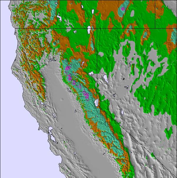
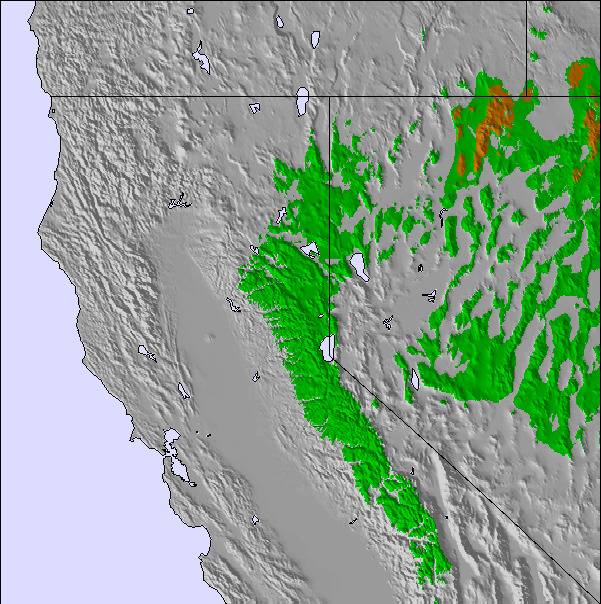
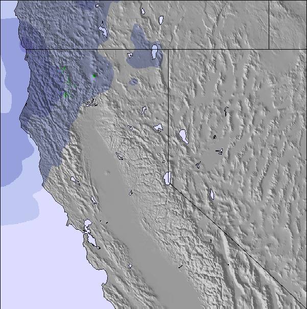
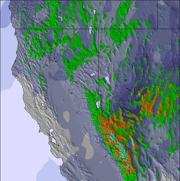
Snow map | 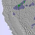 | 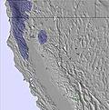 | 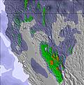 | 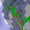 | 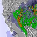 | 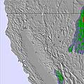 | ||||||||||||
— | — | — | — | — | — | — | — | — | — | — | — | — | — | — | — | — | — | |
mm | — | — | — | — | — | — | — | — | — | — | — | — | — | — | — | — | — | — |
max °C | 20 | 24 | 17 | 20 | 22 | 16 | 19 | 21 | 15 | 15 | 16 | 10 | 9 | 9 | 7 | 11 | 15 | 11 |
min °C | 16 | 22 | 12 | 16 | 20 | 10 | 15 | 19 | 10 | 13 | 14 | 5 | 8 | 9 | 2 | 6 | 15 | 7 |
chill °C | 16 | 22 | 10 | 15 | 20 | 9 | 14 | 18 | 7 | 10 | 11 | -1 | 3 | 4 | 0 | 5 | 14 | 6 |
Humid % | 32 | 26 | 41 | 29 | 26 | 38 | 26 | 24 | 39 | 53 | 62 | 66 | 41 | 42 | 73 | 37 | 30 | 44 |
Freeze m | 4700 | 4850 | 4600 | 4550 | 4650 | 4550 | 4600 | 4650 | 4450 | 4150 | 4050 | 3900 | 2950 | 2950 | 2600 | 3200 | 3900 | 3650 |
5:33 | — | — | 5:33 | — | — | 5:33 | — | — | 5:33 | — | — | 5:35 | — | — | 5:35 | — | — | |
— | — | 8:30 | — | — | 8:30 | — | — | 8:30 | — | — | 8:30 | — | — | 8:30 | — | — | 8:30 | |
Go pro and carve into:
Avalanche information: National Avalanche Center
Latest snow reports near Diamond Peak:
| Top snow depth: | 0 cm |
|---|---|
| Bottom snow depth: | 0 cm |
| Fresh snowfall depth: | — |
| Last snowfall: | 27 May 2026 |
| Snow Alerts | Create Alert |
0.0 | Bluebird Powder days Fresh snow, mostly sunny, light wind. |
|---|---|
0.0 | Powder days Fresh snow, limited sun, any wind. |
0.0 | Bluebird days Average snow, mostly sunny, light wind. |
The above table gives the weather forecast for Diamond Peak at the specific elevation of 2041 m. Our sophisticated weather models allow us to provide snow forecasts for the top, middle and bottom ski stations of Diamond Peak. To access the weather forecasts for the other elevations, use the tab navigation above the table. For a wider view of the weather, check out the Weather Map of United States.
Click here to read further information on freezing levels and how we forecast our temperatures.
Overall 2.7 Based on 11 votes and 1 review
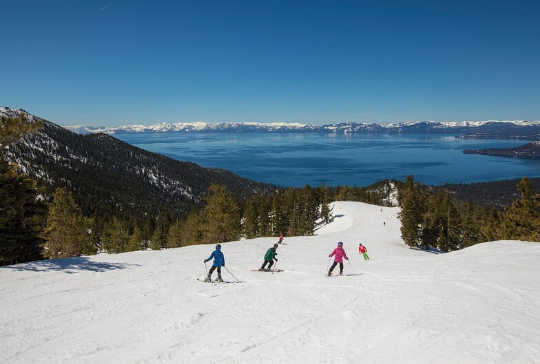
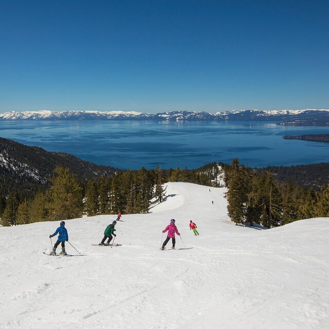
Beautiful lakeview scenery, varied terrain for all levels, keeps powder snow on the ungroomed runs (knee deep for two days last week), very friendly and family oriented.
Powderhound from United States writes:
Beautiful lakeview scenery, varied terrain for all levels, keeps powder snow on the ungroomed runs (knee deep for two days last week), very friendly and family oriented.

 Nearest