The above table gives the weather forecast for Dévoluy at the specific elevation of 2500 m. Our sophisticated weather models allow us to provide snow forecasts for the top, middle and bottom ski stations of Dévoluy. To access the weather forecasts for the other elevations, use the tab navigation above the table. For a wider view of the weather, check out the Weather Map of France.
Click here to read further information on freezing levels and how we forecast our temperatures.
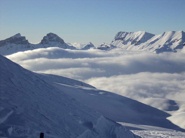
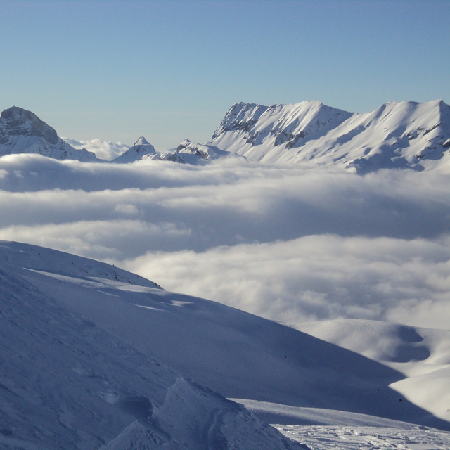
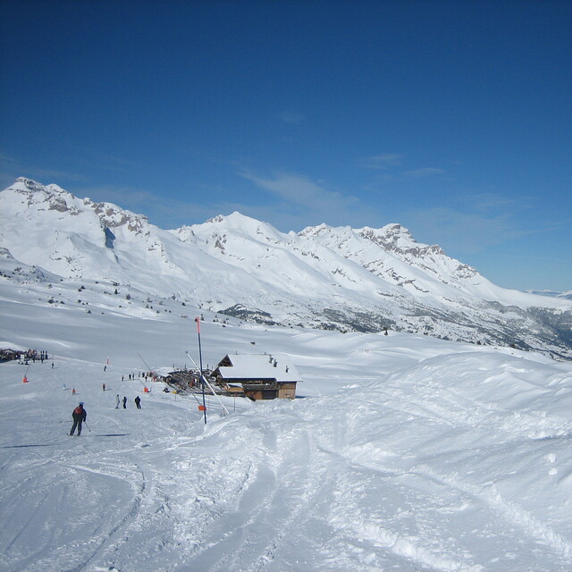
We are in the Devoluy and it's raining low down but more snow on the way. Yesterday we were under blue skies with great snow for January 1st, what a way to start the year! A couple more connections opened this year, snow park starting to be built. If there is less snow anytime then Superdev is better with more descent runs but otherwise either La Joue for 'small' feel, very compact and pretty, or Superdev for more of the purpose-built, yet, very efficient, practicalities. We live here a lot in our own place, La Colyn, outside the main the season and there's loads of alternatives for activities. Come visit the Devoluy - outside the ski season there's so much to do in the way of climbing, via ferrata....
We are in the Devoluy and it's raining low down but more snow on the way. Yesterday we were under blue skies with great snow for January 1st, what a way to start the year! A couple more connections opened this year, snow park starting to be built. If there is less snow anytime then Superdev is better with more descent runs but otherwise either La Joue for 'small' feel, very compact and pretty, or Superdev for more of the purpose-built, yet, very efficient, practicalities. We live here a lot in our own place, La Colyn, outside the main the season and there's loads of alternatives for activities. Come visit the Devoluy - outside the ski season there's so much to do in the way of climbing, via ferrata....
Free Snow-Forecast.com weather widget for your website
Embed the Dévoluy weather widget on your site for free. It provides a weekly snapshot of snow and rain conditions across all elevations. Follow the two quick steps to grab your custom code and paste it into your site. Choose between metric or imperial units. Click here to get the code.


 Nearest