

Banff Sunshine Village Opening for Summer Skiing
Banff Sunshine Village has confirmed it will reopen for a fortnight of summer skiing, from this weekend. The only ski area in Canada to be open into July.

Next 4 days weather summary:Moderate rain (total 14.0mm), heaviest on Fri night. Very mild (max 14°C on Sun afternoon, min 7°C on Fri night). Wind will be generally light. | Days 5-7 weather summary:Moderate rain (total 16.0mm), heaviest on Mon night. Very mild (max 14°C on Tue afternoon, min 10°C on Mon night). Wind will be generally light. | |||||||||||||||
Saturday 20 | Sunday 21 | Monday 22 | Tuesday 23 | Wednesday 24 | ||||||||||||
night | AM | PM | night | AM | PM | night | AM | PM | night | AM | PM | night | AM | PM | night | |
rain shwrs | clear | some clouds | rain shwrs | clear | some clouds | rain shwrs | clear | some clouds | rain shwrs | clear | some clouds | rain shwrs | clear | t-storm risk | rain shwrs | |
km/h | ||||||||||||||||
Snow map |  |  |  |  |  |  | ||||||||||
— | — | — | — | — | — | — | — | — | — | — | — | — | — | — | — | |
mm | 10 | — | — | 1 | — | — | 3 | — | — | 4 | — | — | 3 | — | 2 | 4 |
max °C | 9 | 11 | 12 | 12 | 12 | 14 | 13 | 12 | 14 | 12 | 11 | 14 | 12 | 11 | 14 | 12 |
min °C | 7 | 9 | 12 | 10 | 11 | 14 | 11 | 11 | 14 | 10 | 11 | 14 | 10 | 11 | 13 | 10 |
chill °C | 6 | 9 | 12 | 10 | 11 | 14 | 11 | 11 | 14 | 10 | 11 | 14 | 10 | 11 | 13 | 10 |
Humid % | 59 | 56 | 56 | 58 | 53 | 53 | 60 | 52 | 52 | 72 | 59 | 54 | 67 | 73 | 65 | 76 |
Freeze m | 4200 | 4200 | 4350 | 4250 | 4300 | 4500 | 4350 | 4400 | 4650 | 4350 | 4350 | 4600 | 4450 | 4350 | 4550 | 4500 |
— | 5:41 | — | — | 5:41 | — | — | 5:41 | — | — | 5:41 | — | — | 5:41 | — | — | |
— | — | — | 9:24 | — | — | 9:24 | — | — | 9:24 | — | — | 9:25 | — | — | 9:25 | |
Go pro and carve into:
Avalanche information: European Avalanche Warning Services (EAWS)
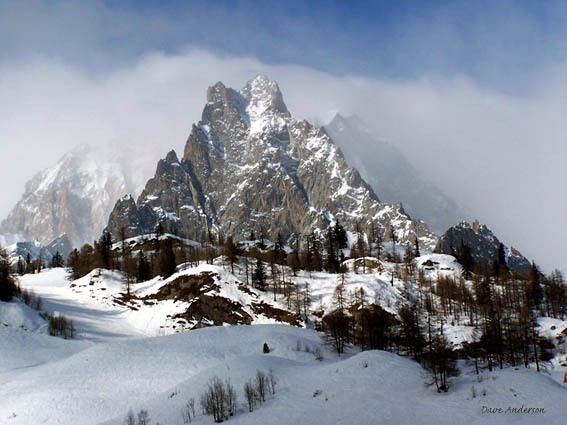
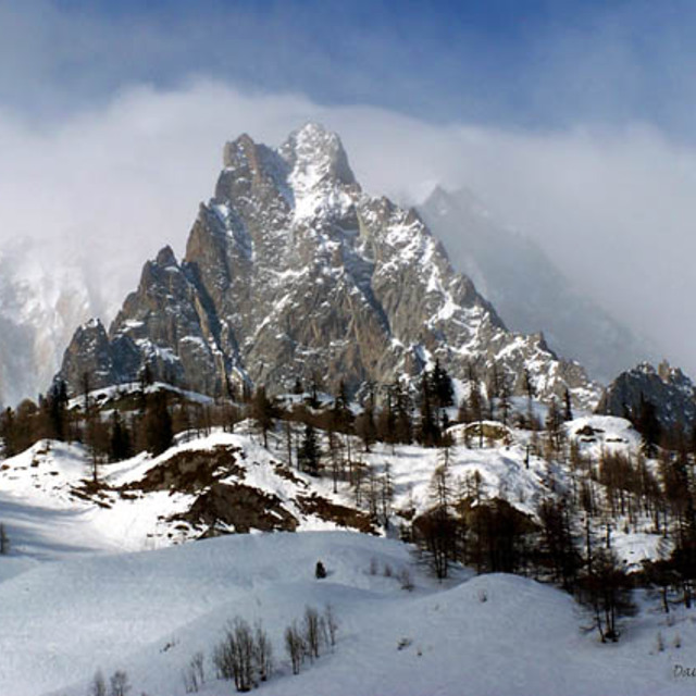
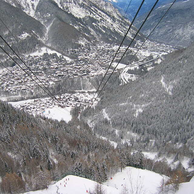
Latest snow reports near Courmayeur:
| Top snow depth: | 0 cm |
|---|---|
| Bottom snow depth: | 0 cm |
| Fresh snowfall depth: | — |
| Last snowfall: | 16 May 2026 |
| Snow Alerts | Create Alert |
0.1 | Bluebird Powder days Fresh snow, mostly sunny, light wind. |
|---|---|
0.1 | Powder days Fresh snow, limited sun, any wind. |
0.0 | Bluebird days Average snow, mostly sunny, light wind. |

The above table gives the weather forecast for Courmayeur at the specific elevation of 2755 m. Our sophisticated weather models allow us to provide snow forecasts for the top, middle and bottom ski stations of Courmayeur. To access the weather forecasts for the other elevations, use the tab navigation above the table. For a wider view of the weather, check out the Weather Map of Italy.
Click here to read further information on freezing levels and how we forecast our temperatures.
Overall 4.0 Based on 28 votes and 22 reviews
Spent 4 days in Courmayeur in March 2019. Good snow fell just before but the top lifts were winded-off for 3 of the four days. Great daytime atmosphere on the mountain with Checrouit mid-mountain feeling like a mini village in itself. The back side Veny has shady and narrow runs which are often icy. They are marked as blue but are very difficult for beginners so the amount of beginners terrain is half of what the piste map claims. The town is pretty and the main pedestrian street has nice shops. I have to say thought the apres-ski is literally non existent! We booked one night on the mountain because we read in several articles that the apres was "loud and late" on the mountain... pure rubbish, by 16:30 there was 4 people playing fussball at the main Super G terrace and then the DJ finished at 17:00! The town itself was also incredibly quiet, with nothing in the way of music or even a lightly full bar. The best apres-ski was the pizza place which also had no music but at least there were people. We ended up cutting our losses and heading to Chamonix for our remaining three nights where we danced on tables to the incredible No Limits band in Chambre Neuf. In summary, it's a lovely place for a day trip or if you have young children but if you like to have even one drink after your day's skiing forget it!
Steve from Ireland writes:
Spent 4 days in Courmayeur in March 2019. Good snow fell just before but the top lifts were winded-off for 3 of the four days. Great daytime atmosphere on the mountain with Checrouit mid-mountain feeling like a mini village in itself. The back side Veny has shady and narrow runs which are often icy. They are marked as blue but are very difficult for beginners so the amount of beginners terrain is half of what the piste map claims.
The town is pretty and the main pedestrian street has nice shops. I have to say thought the apres-ski is literally non existent! We booked one night on the mountain because we read in several articles that the apres was "loud and late" on the mountain... pure rubbish, by 16:30 there was 4 people playing fussball at the main Super G terrace and then the DJ finished at 17:00!
The town itself was also incredibly quiet, with nothing in the way of music or even a lightly full bar. The best apres-ski was the pizza place which also had no music but at least there were people. We ended up cutting our losses and heading to Chamonix for our remaining three nights where we danced on tables to the incredible No Limits band in Chambre Neuf.
In summary, it's a lovely place for a day trip or if you have young children but if you like to have even one drink after your day's skiing forget it!


 Nearest