Weather Forecast for Coumfea West (Comeragh Mts) at710m altitude
Issued: 6 am 29 Jun 2026 (local time)
Forecast update in hr min
View forecast
Coumfea West (Comeragh Mts)at 710 m altitude
Issued by Snow-Forecast.com at:6 am (local time) / 29 Jun 2026
Last 6 daysScroll left for last 6 daysNow
Next 3 days weather summary:
Light rain (total 8.0mm), mostly falling on Mon afternoon. Very mild (max 16°C on Wed afternoon, min 10°C on Mon afternoon). Winds increasing (light winds from the WNW on Wed morning, strong winds from the WSW by Wed night).
Days 4-6 weather summary:
Mostly dry. Warm (max 20°C on Sat afternoon, min 13°C on Thu morning). Wind will be generally light.
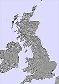
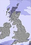
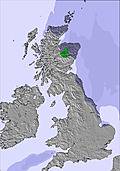
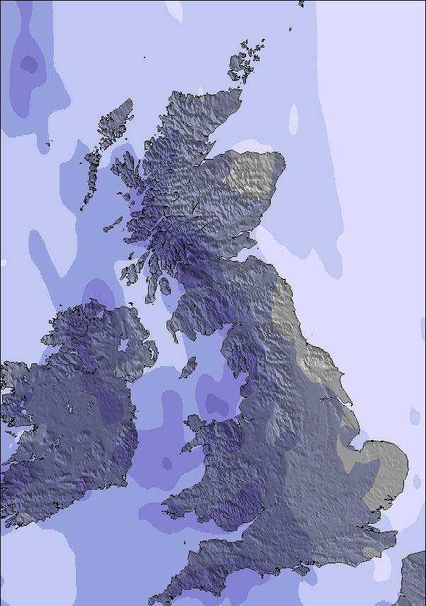
The above table gives the weather forecast for Coumfea West (Comeragh Mts) at the specific elevation of 710 m. Our sophisticated weather models allow us to provide snow forecasts for the top, middle and bottom ski stations of Coumfea West (Comeragh Mts). To access the weather forecasts for the other elevations, use the tab navigation above the table. For a wider view of the weather, check out the Weather Map of Ireland.
Click here to read further information on freezing levels and how we forecast our temperatures.
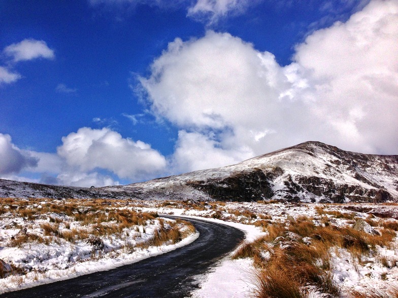
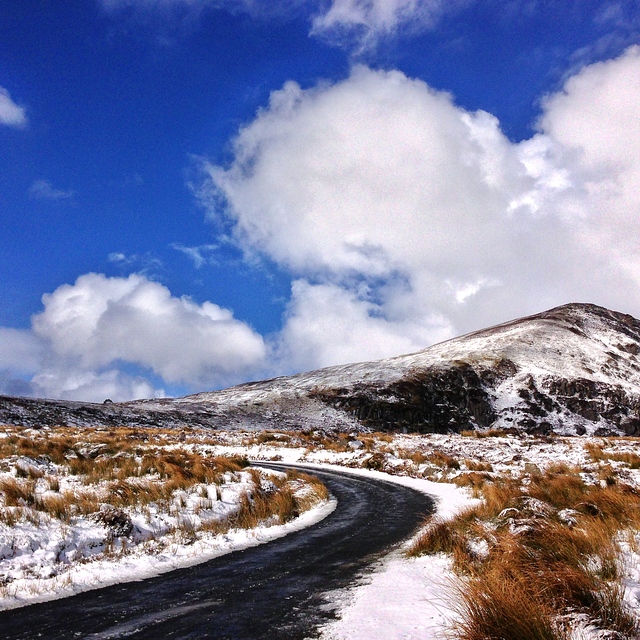
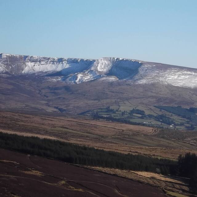
Comeragh mountains are an isolated massif surrounded by agricultural land in County Waterford, South East Ireland. The total area enclosed by the Comeraghs above 200 metres is approximately 195 kilometres. The range rises abruptly on the seaward side, reaching a height of 792 metres on the plateau. The slopes roll down much more gently to the lowlands on the western side of the range which, in turn, although a seldom occurance when conditions are favourable the western slopes, are the most suitable for skiing/boarding and sledding.
Reference; A Guide to the Comeragh Mountains by Declan McGrath,Intacta Print Ltd.
Free Snow-Forecast.com weather widget for your website
Embed the Coumfea West (Comeragh Mts) weather widget on your site for free. It provides a weekly snapshot of snow and rain conditions across all elevations. Follow the two quick steps to grab your custom code and paste it into your site. Choose between metric or imperial units. Click here to get the code.


 Nearest