
North America Weekly Snow Roundup #319
Weekly Snow News for North America, updated 18 June 2026: Timberline and Beartooth still open with Banff's Sunshine ready to reopen for summer skiing this weekend.

Next 3 days weather summary:Mostly dry. Very mild (max 15°C on Tue morning, min 2°C on Sun night). Mainly fresh winds. | Days 4-6 weather summary:Heavy rain (total 24.0mm), heaviest during Fri afternoon. Very mild (max 15°C on Wed afternoon, min 3°C on Fri afternoon). Mainly fresh winds. | |||||||||||||||||
Sunday 21 | Monday 22 | Tuesday 23 | Wednesday 24 | Thursday 25 | Friday 26 | |||||||||||||
AM | PM | night | AM | PM | night | AM | PM | night | AM | PM | night | AM | PM | night | AM | PM | night | |
clear | cloudy | some clouds | some clouds | some clouds | clear | clear | some clouds | clear | some clouds | cloudy | rain shwrs | some clouds | some clouds | clear | some clouds | rain shwrs | rain shwrs | |
km/h | ||||||||||||||||||
Snow map | 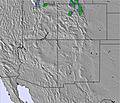 | 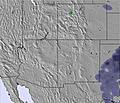 | 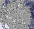 | 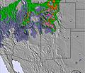 | 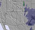 | 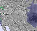 | ||||||||||||
— | — | — | — | — | — | — | — | — | — | — | — | — | — | — | — | — | — | |
mm | — | — | — | — | — | — | — | — | — | — | — | 1 | — | — | — | — | 17 | 6 |
max °C | 11 | 12 | 6 | 12 | 14 | 8 | 15 | 15 | 9 | 14 | 15 | 6 | 13 | 15 | 7 | 14 | 4 | 5 |
min °C | 9 | 11 | 2 | 10 | 14 | 5 | 12 | 15 | 5 | 12 | 15 | 4 | 11 | 11 | 4 | 11 | 3 | 4 |
chill °C | 6 | 8 | 0 | 8 | 12 | 3 | 10 | 13 | 3 | 10 | 13 | 2 | 8 | 9 | 2 | 9 | 0 | 1 |
Humid % | 23 | 28 | 33 | 25 | 26 | 24 | 16 | 19 | 17 | 19 | 21 | 74 | 31 | 21 | 60 | 36 | 88 | 72 |
Freeze m | 4800 | 5000 | 4300 | 4950 | 5200 | 4700 | 5200 | 5350 | 4750 | 5100 | 5350 | 4500 | 5050 | 5400 | 4600 | 5050 | 4350 | 4450 |
5:37 | — | — | 5:37 | — | — | 5:37 | — | — | 5:37 | — | — | 5:37 | — | — | 5:39 | — | — | |
— | 8:35 | — | — | 8:35 | — | — | 8:35 | — | — | 8:35 | — | — | 8:35 | — | — | 8:35 | — | |
Go pro and carve into:
Avalanche information: Colorado Avalanche Information Center
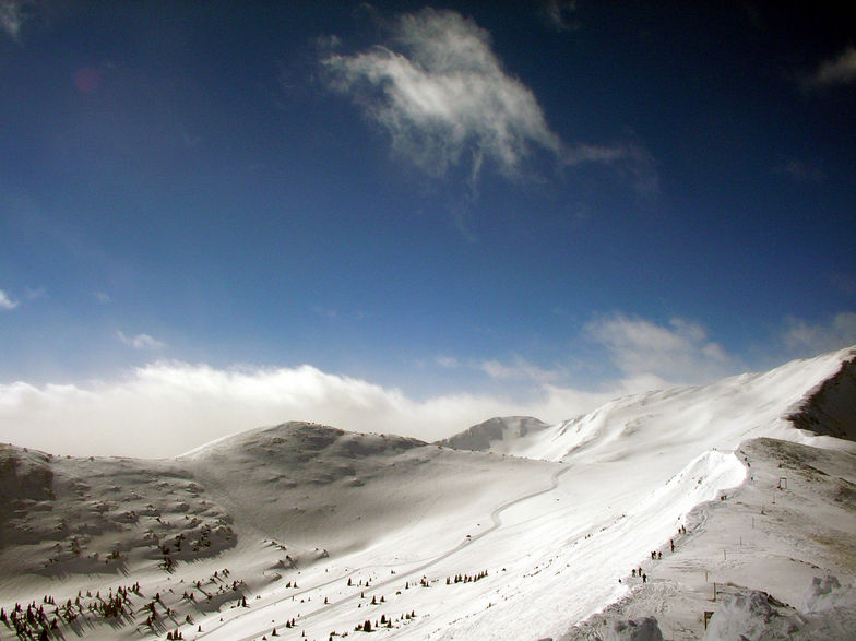
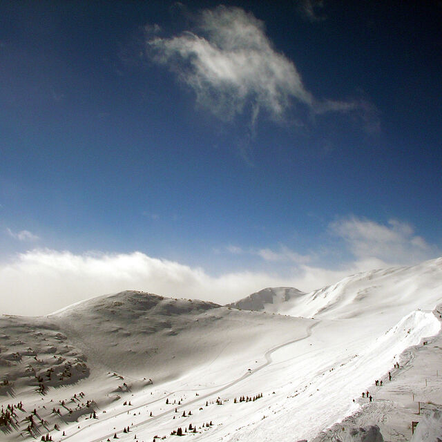
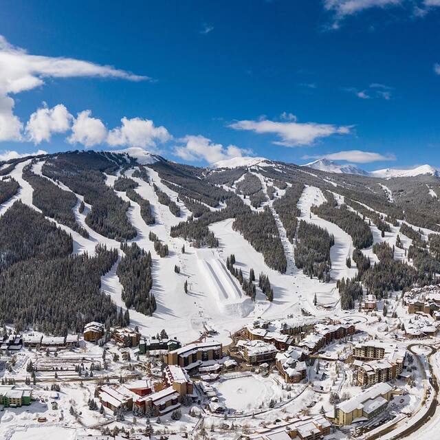
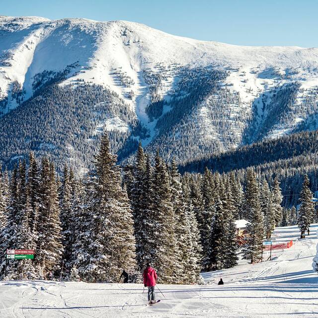
Latest snow reports near Copper Mountain:
| Top snow depth: | 0 cm |
|---|---|
| Bottom snow depth: | 0 cm |
| Fresh snowfall depth: | — |
| Last snowfall: | 19 May 2026 |
| Snow Alerts | Create Alert |
0.0 | Bluebird Powder days Fresh snow, mostly sunny, light wind. |
|---|---|
0.2 | Powder days Fresh snow, limited sun, any wind. |
0.0 | Bluebird days Average snow, mostly sunny, light wind. |
The above table gives the weather forecast for Copper Mountain at the specific elevation of 3752 m. Our sophisticated weather models allow us to provide snow forecasts for the top, middle and bottom ski stations of Copper Mountain. To access the weather forecasts for the other elevations, use the tab navigation above the table. For a wider view of the weather, check out the Weather Map of United States.
Click here to read further information on freezing levels and how we forecast our temperatures.
Overall 3.7 Based on 17 votes and 7 reviews
A group of 5 of us from 4 different households booked a stay at Copper Mountain for February 2021. We, unfortunately, had to cancel due to COVID related lodging restrictions which would force us to purchase multiple rooms rather than the single room we had already reserved, which would cost a tremendous amount more. We paid over $1500 as a group for our lift tickets and Copper Mountain is refusing to provide vouchers to be used next year! They are taking our $1500 for nothing in return. We are not asking for our money back, but simply for a voucher. Each pass comes with a Passholder Promise which includes a voucher should the resort close for 7 consecutive days or 21 days total in the season due to COVID, but does not address COVID related lodging restrictions which were put in place after we booked our trip, therefore they will not give us a voucher. Do not book in advance with them because, if COVID gets in the way, they don't care. They just want your money.
Nikki from United States writes:
A group of 5 of us from 4 different households booked a stay at Copper Mountain for February 2021. We, unfortunately, had to cancel due to COVID related lodging restrictions which would force us to purchase multiple rooms rather than the single room we had already reserved, which would cost a tremendous amount more. We paid over $1500 as a group for our lift tickets and Copper Mountain is refusing to provide vouchers to be used next year! They are taking our $1500 for nothing in return. We are not asking for our money back, but simply for a voucher. Each pass comes with a Passholder Promise which includes a voucher should the resort close for 7 consecutive days or 21 days total in the season due to COVID, but does not address COVID related lodging restrictions which were put in place after we booked our trip, therefore they will not give us a voucher. Do not book in advance with them because, if COVID gets in the way, they don't care. They just want your money.


 Nearest