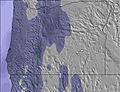
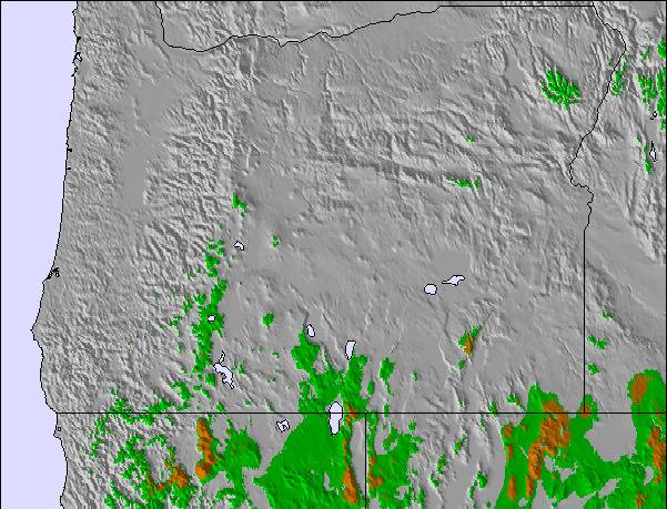
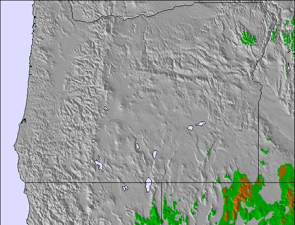
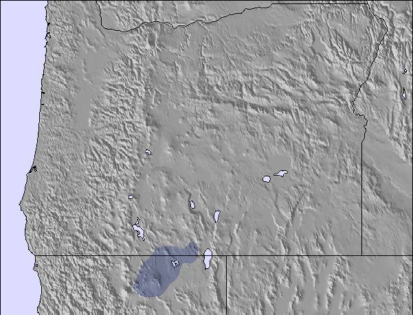
The above table gives the weather forecast for Cooper Spur at the specific elevation of 1280 m. Our sophisticated weather models allow us to provide snow forecasts for the top, middle and bottom ski stations of Cooper Spur. To access the weather forecasts for the other elevations, use the tab navigation above the table. For a wider view of the weather, check out the Weather Map of United States.
Click here to read further information on freezing levels and how we forecast our temperatures.
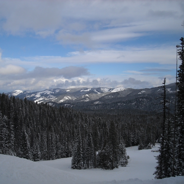
The cabins at Cooper Spur are comfortable for a family vacation. The slope at Cooper Spur is good for learning and tune-ups at a family friendly price. Guests at the cabins get a discount on Meadows tickets. If you're looking for a place to relax, check out the Spur. If you need a dose of insanity, head to the Meadows or Timberline, but then you'll be ready for the quiet retreat afforded by a very nice small resort. It's a family run operation, so don't expect Motel 6.
09-10 was a snow-failure year, but 05-06, 06-07, 07-08 and 08-09 all had good snow by Christmas. 09-10 started with a bang, but last week there was a significant melt. 24 inches and temps in the low 20s for the upcoming week portend another nice Christmas.
Free Snow-Forecast.com weather widget for your website
Embed the Cooper Spur weather widget on your site for free. It provides a weekly snapshot of snow and rain conditions across all elevations. Follow the two quick steps to grab your custom code and paste it into your site. Choose between metric or imperial units. Click here to get the code.


 Nearest