


View forecast
Chamonix at 2440 m altitude
Issued by Snow-Forecast.com at: 7 pm (local time) / 07 May 2024
Now
Wednesday 8 | Thursday 9 | Friday 10 | Saturday 11 | Sunday 12 | Monday 13 | ||||||||||||||
night | AM | PM | night | AM | PM | night | AM | PM | night | AM | PM | night | AM | PM | night | AM | PM | night | |
light snow | light snow | light snow | snow shwrs | clear | rain shwrs | rain shwrs | clear | some clouds | rain shwrs | clear | some clouds | light rain | light rain | rain shwrs | rain shwrs | some clouds | light rain | rain shwrs | |
km/h | |||||||||||||||||||
Snow map |  |  |  |  |  |  |  | ||||||||||||
2.0 | — | — | — | — | — | — | — | — | — | — | — | — | — | — | — | — | — | — | |
— | — | — | — | — | 1.0 | 1.0 | — | — | 1.0 | — | — | 2.0 | 3 | 3 | 3 | — | 3 | 2.0 | |
max°C | -1 | -1 | 0 | 1 | 3 | 4 | 4 | 5 | 7 | 6 | 6 | 8 | 7 | 6 | 8 | 6 | 6 | 7 | 5 |
min°C | -2 | -1 | 0 | 0 | 2 | 4 | 3 | 4 | 6 | 4 | 5 | 8 | 5 | 5 | 7 | 5 | 5 | 5 | 4 |
-6 | -4 | -3 | -3 | 2 | 4 | 3 | 4 | 6 | 4 | 5 | 8 | 5 | 5 | 6 | 5 | 4 | 3 | 2 | |
95 | 87 | 89 | 61 | 62 | 82 | 66 | 46 | 74 | 68 | 54 | 69 | 89 | 81 | 62 | 76 | 64 | 85 | 79 | |
2100 | 2300 | 2500 | 2450 | 3000 | 3000 | 3150 | 3200 | 3300 | 3350 | 3300 | 3500 | 3250 | 3200 | 3350 | 3250 | 3350 | 3150 | 3150 | |
— | 6:09 | — | — | 6:07 | — | — | 6:05 | — | — | 6:05 | — | — | 6:03 | — | — | 6:01 | — | — | |
— | — | — | 8:49 | — | — | 8:50 | — | — | 8:52 | — | — | 8:52 | — | — | 8:53 | — | — | 8:54 | |
Next 0-3 days weather summary:
A dusting of snow turning to light rain (total 2.0mm) on Thu afternoon. Freeze-thaw conditions (max 7°C on Fri afternoon, min -2°C on Tue night). Wind will be generally light.
Next 4-6 days weather summary:
Moderate rain (total 15.0mm), heaviest on Sun morning. Mild temperatures (max 8°C on Sat afternoon, min 4°C on Fri night). Wind will be generally light.
Popular Chamonix Pages
Snow Radar
Submit a reportLatest snow reports near Chamonix:
44 km away from Chamonix
2 hours ago
Light rain reported from Sion at 339 metres elevation only 4 kms NNE of Haute Nendaz but it is forecast cold enough for snow at higher elevations in the ski area from Haute Nendaz
48 km away from Chamonix
2 hours agoIntermittent light rain reported from Aigle at 479 metres elevation 7 kms WSW of Leysin but it is forecast cold enough for snow at higher elevations in the ski area from Leysin
Chamonix Snow Conditions
| Top snow depth: | — |
|---|---|
| Bottom snow depth: | — |
| Fresh snowfall depth: | 18 cm |
| Last snowfall: | 6 May 2024 |
| Snow Alerts | Create Alert |
Other resorts in France are reporting: powder (0) / good piste (0)
Snow-Forecast Partner Offers
Luxury accommodation - Ski Lessons by SkiBroBOOK NOW
 Ski lessons in ChamonixBook now
Snow History
Week 2 of May has on average:
0.1 | Bluebird Powder days Fresh snow, mostly sunny, light wind. |
|---|---|
1.0 | Powder days Fresh snow, limited sun, any wind. |
0.2 | Bluebird days Average snow, mostly sunny, light wind. |

Chamonix Forecast Snowfall


Snow-Forecast Partner Offers

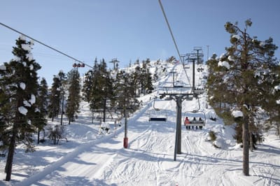
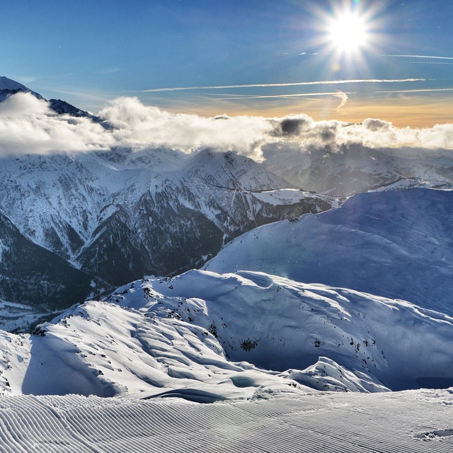
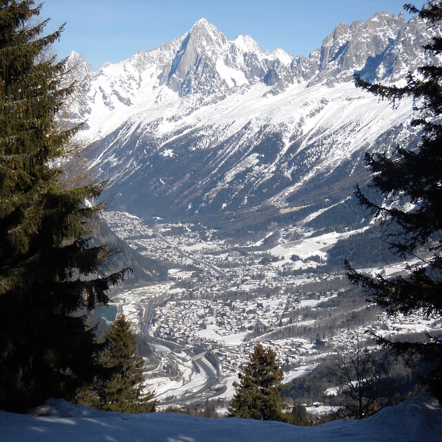
Photos of Chamonix
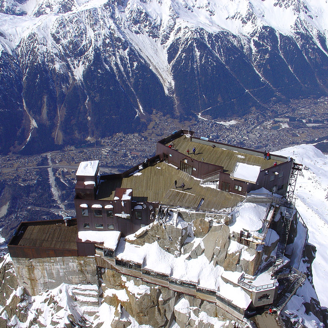
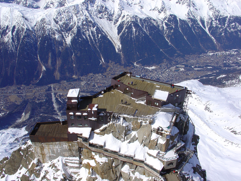
View from the Aiguille du Midi by Gary Jones
Winter in Chamonix by Ernesto Schilling
Chamonix
Other resorts in France are reporting: powder (0) / good piste (0)
The above table gives the weather forecast for Chamonix at the specific elevation of 2440 m. Our sophisticated weather models allow us to provide snow forecasts for the top, middle and bottom ski stations of Chamonix. To access the weather forecasts for the other elevations, use the tab navigation above the table. For a wider view of the weather, check out the Weather Map of France.
Click here to read further information on freezing levels and how we forecast our temperatures.
Visitor Reviews of Chamonix
Overall 4.0 Based on 55 votes and 90 reviews
- Snowsure
- Variety of pistes
- Vote
- Paul from Ireland writes:
First time in Chamonix and left disappointed because we where paying premium prices (340 for 5 day Mont Blanc pass) but not getting a premium product. lift system needs modernising and an increase capacity at a few pinch points. I was surprised that there's really only a day's skiing in each area and if you don't have a car you're reliant on the dreaded bus to get to the different areas in the valley, e.g Argentire and Les Houches. There should be a pass for just these areas as everywhere else on the Mont Blanc pass are too far away and would only be beneficial for those with a car on a touring holiday. A bug bear of skiing in France is the cost of dining on the slopes, big money for an inferior product and very few toilets. There was better value to be had down in the town and there is a good vibe in the town center. Becketts Irish bar was good, free pool and reasonable drink prices. We didn't have ideal ski conditions, too mild and also had a stomach bug so if we had fresh snow skiing would have been a better experience as there does seem to be plenty of off-piste here. So it would have made up for the deficiencies in the product here. Going to Les Arcs next, which is ski in-ski out so if that doesn't impress then back to Austria and Andorra.
Visitor Reviews of Chamonix
Paul from Ireland writes:
First time in Chamonix and left disappointed because we where paying premium prices (340 for 5 day Mont Blanc pass) but not getting a premium product. lift system needs modernising and an increase capacity at a few pinch points. I was surprised that there's really only a day's skiing in each area and if you don't have a car you're reliant on the dreaded bus to get to the different areas in the valley, e.g Argentire and Les Houches. There should be a pass for just these areas as everywhere else on the Mont Blanc pass are too far away and would only be beneficial for those with a car on a touring holiday. A bug bear of skiing in France is the cost of dining on the slopes, big money for an inferior product and very few toilets. There was better value to be had down in the town and there is a good vibe in the town center. Becketts Irish bar was good, free pool and reasonable drink prices. We didn't have ideal ski conditions, too mild and also had a stomach bug so if we had fresh snow skiing would have been a better experience as there does seem to be plenty of off-piste here. So it would have made up for the deficiencies in the product here. Going to Les Arcs next, which is ski in-ski out so if that doesn't impress then back to Austria and Andorra.
Free Snow-Forecast.com weather widget for your website
The Chamonix skiing weather widget is available to embed on external websites free of charge. It provides a daily summary of our Chamonix snow forecast and current weather conditions. Simply go to the feed configuration page and follow the 3 simple steps to grab the custom html code snippet and paste it into your own site. You can choose the snow forecast elevation (summit, mid-mountain or bottom lift) and metric/imperial units for the snow forecast feed to suit your own website…. Click here to get the code.
View detailed snow forecast for Chamonix at:
snow-forecast.com

 Nearest