Alternatively, you can now use your Outside account to sign in to any brand in the Outside digital ecosystem, including Snow-Forecast, Surf-Forecast, and Mountain-Forecast.
The snow forecast for Chamonix is: Moderate rain (total 15.0mm), heaviest on Mon night. Very mild (max 15°C on Tue afternoon, min 11°C on Tue night). Wind will be generally light.
Chamonix Weather (Next 3 days): The snow forecast for Chamonix is: Moderate rain (total 15.0mm), heaviest on Mon night. Very mild (max 15°C on Tue afternoon, min 11°C on Tue night). Wind will be generally light.
Chamonix Weather (Days 4-6): Heavy rain (total 33.0mm), heaviest during Thu night. Very mild (max 15°C on Sat afternoon, min 9°C on Sun afternoon). Wind will be generally light.
Chamonix Live Weather
Resort
Snow Depth
Temp. (°C)
Wind (km/h)
Weather
Top Lift:
4
Middle Lift:
13
Bottom Lift:
21
Powered by Snow-Forecast.com
Chamonix Weather
(Next 3 days):
The snow forecast for Chamonix is: Moderate rain (total 15.0mm), heaviest on Mon night. Very mild (max 15°C on Tue afternoon, min 11°C on Tue night). Wind will be generally light.
Chamonix Weather (Days 4-6):
Heavy rain (total 33.0mm), heaviest during Thu night. Very mild (max 15°C on Sat afternoon, min 9°C on Sun afternoon). Wind will be generally light.
The above table gives the weather forecast for Chamonix at the specific elevation of 2440 m. Our sophisticated weather models allow us to provide snow forecasts for the top, middle and bottom ski stations of Chamonix. To access the weather forecasts for the other elevations, use the tab navigation above the table. For a wider view of the weather, check out the Weather Map of France.
Click here to read further information on freezing levels and how we forecast our temperatures.
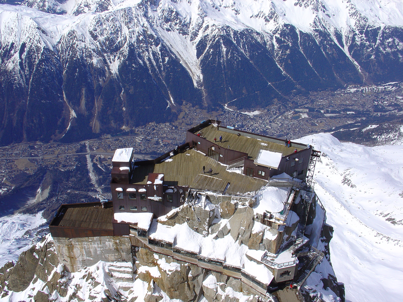
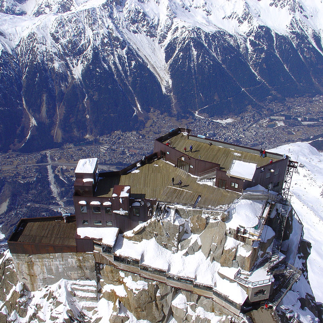
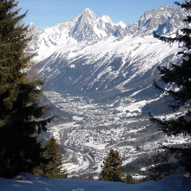
This is from a piste skier’s perspective. Despite the smaller individual areas, Chamonix is still great. If you think carefully where to stay, you can use the quick reliable train to easily get to the Grand Montets, Flegere and Le Tour (Valloricine station). The buses are fine and really frequent but the train is easier.
The Brevent-Flegere area is big enough to keep you happy for a couple of days and has terrific views. Le Tour (Balme) is better than I remembered. Grands Montets is really missing the top lift that’s being rebuilt.
Food on the mountain has improved with more options than I remember from my last trip 10 years ago. Food in town is still really good with loads of choice.
It’s easy to get to, I took an overnight bus from Paris which worked well. I arrived at 7, had breakfast in the Plan B hotel by the bus station and was skiing by 9. If that’s too extreme, Geneva airport is just over an hour away and there are good train services from Paris.
If you’re a piste skier who occasionally ventures off-piste, Chamonix is poor as there are so many good powder skiers it gets tracked out in no time. The great off-piste is well away from the ski areas and quite serious.
Free Snow-Forecast.com weather widget for your website
The Chamonix skiing weather widget is available to embed on external websites free of charge. It provides a daily summary of our Chamonix snow forecast and current weather conditions. Simply go to the feed configuration page and follow the 3 simple steps to grab the custom html code snippet and paste it into your own site. You can choose the snow forecast elevation (summit, mid-mountain or bottom lift) and metric/imperial units for the snow forecast feed to suit your own website…. Click here to get the code.


 Nearest