


Browse the ski and snowboard runs on the Brandnertal (Brand und Bürserberg) piste map below. Click the map to view a full-sized version of the trails at Brandnertal (Brand und Bürserberg) ski resort.
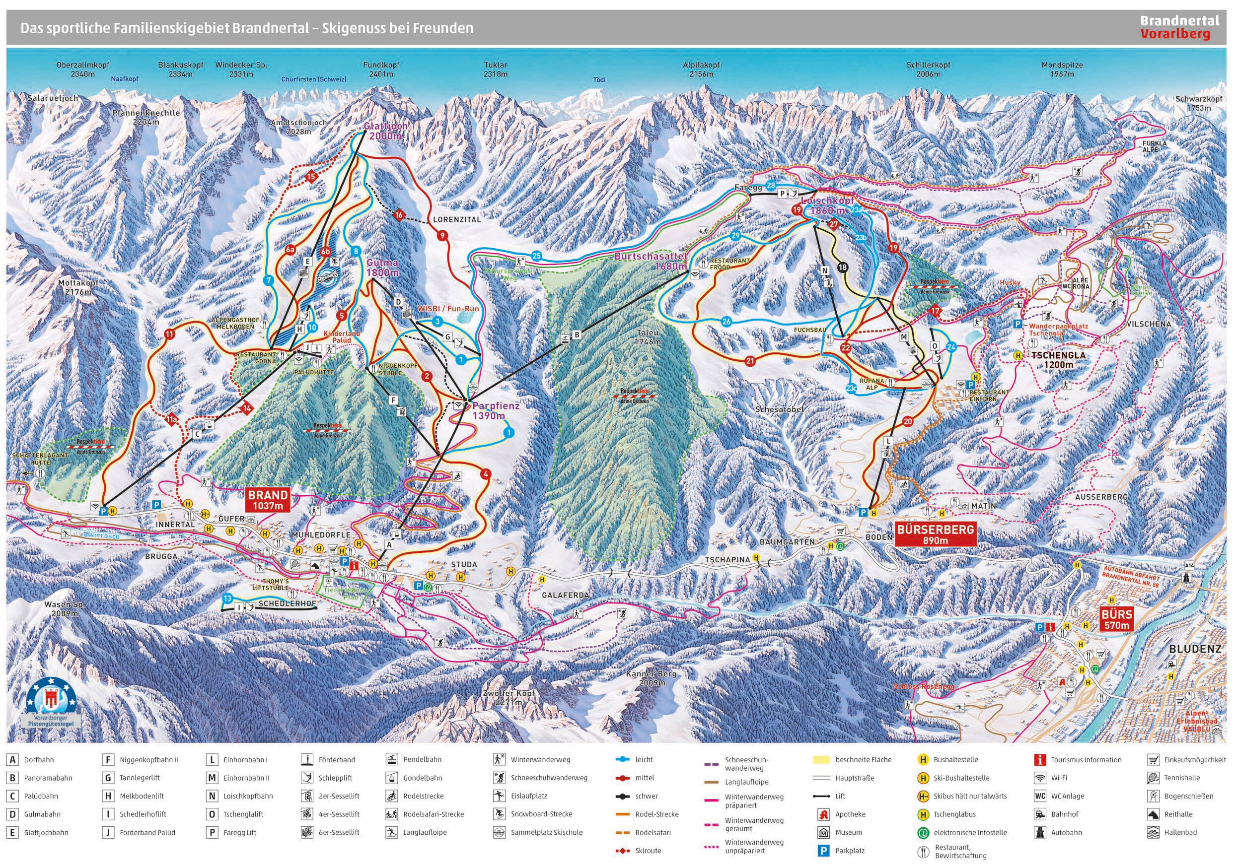

Browse the ski and snowboard runs on the Brandnertal (Brand und Bürserberg) piste map below. Click the map to view a full-sized version of the trails at Brandnertal (Brand und Bürserberg) ski resort.
 Nearest