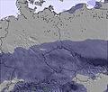
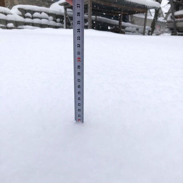
The above table gives the weather forecast for Białka Tatrzańska at the specific elevation of 649 m. Our sophisticated weather models allow us to provide snow forecasts for the top, middle and bottom ski stations of Białka Tatrzańska. To access the weather forecasts for the other elevations, use the tab navigation above the table. For a wider view of the weather, check out the Weather Map of Poland.
Click here to read further information on freezing levels and how we forecast our temperatures.
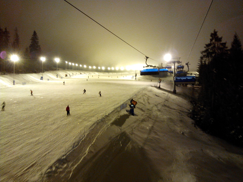
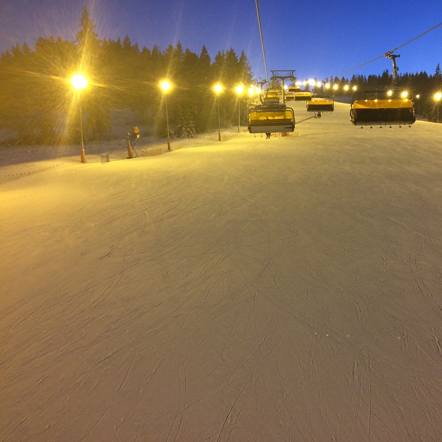
I planned to go to Bialka Tatrazanska in January 2019, but did not finally ski there. It was really such a disappointment, as the area is very beautiful and the snow was fantastic. The reason why I did not manage to ski is that I arrived very late due to the heavy traffic. Although the distance between Krakow and Bialka is a mere 120km, it took 4 hours! There was heavy traffic all the way from Krakow to the ski center. When I arrived, there were also big queues at the lift and the ski rentals, which was frustrating. For anyone who would like to ski there, I would recommend to stay overnight in Zakopane instead of Krakow, so that Bialka could be reached fast and easily.
I planned to go to Bialka Tatrazanska in January 2019, but did not finally ski there. It was really such a disappointment, as the area is very beautiful and the snow was fantastic. The reason why I did not manage to ski is that I arrived very late due to the heavy traffic. Although the distance between Krakow and Bialka is a mere 120km, it took 4 hours! There was heavy traffic all the way from Krakow to the ski center. When I arrived, there were also big queues at the lift and the ski rentals, which was frustrating. For anyone who would like to ski there, I would recommend to stay overnight in Zakopane instead of Krakow, so that Bialka could be reached fast and easily.
Free Snow-Forecast.com weather widget for your website
Embed the Białka Tatrzańska weather widget on your site for free. It provides a weekly snapshot of snow and rain conditions across all elevations. Follow the two quick steps to grab your custom code and paste it into your site. Choose between metric or imperial units. Click here to get the code.


 Nearest