A dusting of snow giving way to moderate rain (total 18.0mm) heaviest on Tue night. Freeze-thaw conditions (max 5°C on Tue night, min -1°C on Sun night). Winds increasing (light winds from the W on Sun morning, fresh winds from the WNW by Tue night).
Days 4-6 weather summary:
Light rain (total 5.0mm) at first, then becoming colder with a dusting of snow on Wed afternoon. Freeze-thaw conditions (max 2°C on Wed morning, min -2°C on Fri night). Mainly fresh winds.
Snowing at Valberg. Just a light breeze today. Cold. New snow is ankle depth. Lifts are closed. Pistes are closed. Not enough snow off-piste. from Valberg
37km away from Auron
18 hours ago
Light rain reported from Festiona wx at 716 metres elevation 9 kms NW of Entracque but it is forecast cold enough for snow at the ski area from Entracque
The above table gives the weather forecast for Auron at the specific elevation of 2025 m. Our sophisticated weather models allow us to provide snow forecasts for the top, middle and bottom ski stations of Auron. To access the weather forecasts for the other elevations, use the tab navigation above the table. For a wider view of the weather, check out the Weather Map of France.
Click here to read further information on freezing levels and how we forecast our temperatures.
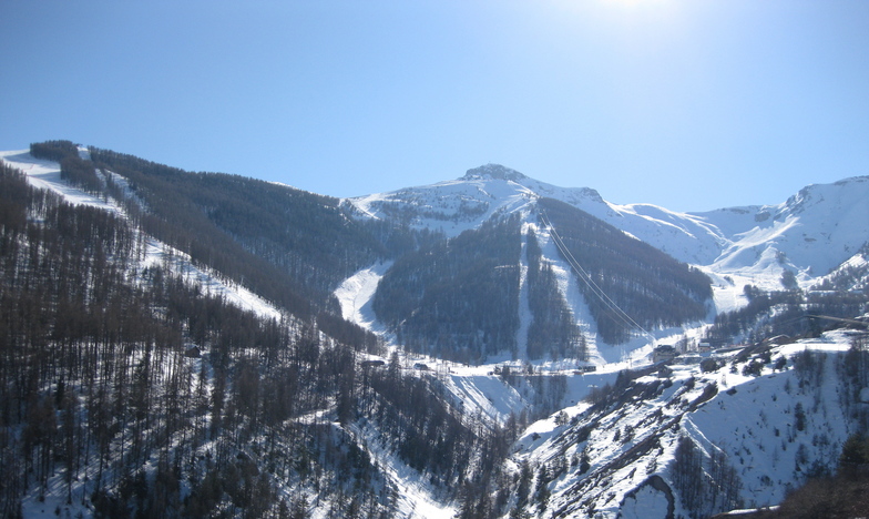
This resort competes with the other similar altitude resorts of the south of France. The 4 resorts are Auron, Valberg, Isola 2000 and Limone in Italy. All 4 are similar distances from the French rivière, with e exception of Limone, depending on which side of Nice you are starting from. From the get go, Limone, has the best food on pistes, it has also a dominant north facing set of pistes and therefore, benefits from the initial snowfall that sometimes does not make it over to the French side. Between Auron and Isola 2000, well one has aged and moved with its times better than the other. That would be Auron. It is. not only more picturesque, which serves no purpose admittedly if you are merely looking at the skiing aspect. But it certainly does, when you are looking for somewhere to chill for apres-ski compared to the concrete jungle that is Isola 2000. That said, Isola 2000 has a great variety of pistes to choose from whether it be for morning skiing or afternoon skiing since the resort is predominantly set in a definite v shaped valley, with one side favouring the east and the other favouring the west. This is where Auron differs, the pistes are multiple and face to different cardinal points, so ensuring that when you get to know your way around, you can chase the sun. Especially in February and March...
This resort competes with the other similar altitude resorts of the south of France. The 4 resorts are Auron, Valberg, Isola 2000 and Limone in Italy. All 4 are similar distances from the French rivière, with e exception of Limone, depending on which side of Nice you are starting from. From the get go, Limone, has the best food on pistes, it has also a dominant north facing set of pistes and therefore, benefits from the initial snowfall that sometimes does not make it over to the French side. Between Auron and Isola 2000, well one has aged and moved with its times better than the other. That would be Auron. It is. not only more picturesque, which serves no purpose admittedly if you are merely looking at the skiing aspect. But it certainly does, when you are looking for somewhere to chill for apres-ski compared to the concrete jungle that is Isola 2000. That said, Isola 2000 has a great variety of pistes to choose from whether it be for morning skiing or afternoon skiing since the resort is predominantly set in a definite v shaped valley, with one side favouring the east and the other favouring the west. This is where Auron differs, the pistes are multiple and face to different cardinal points, so ensuring that when you get to know your way around, you can chase the sun. Especially in February and March...
Free Snow-Forecast.com weather widget for your website
Embed the Auron weather widget on your site for free. It provides a weekly snapshot of snow and rain conditions across all elevations. Follow the two quick steps to grab your custom code and paste it into your site. Choose between metric or imperial units. Click here to get the code.

 ski hire exclusive discount




 Snow
 Hourly & 16-day forecasts



 Sign up or Login to access
 Upload new photo

 Nearest