The above table gives the weather forecast for Alpe di Siusi at the specific elevation of 1600 m. Our sophisticated weather models allow us to provide snow forecasts for the top, middle and bottom ski stations of Alpe di Siusi. To access the weather forecasts for the other elevations, use the tab navigation above the table. For a wider view of the weather, check out the Weather Map of Italy.
Click here to read further information on freezing levels and how we forecast our temperatures.
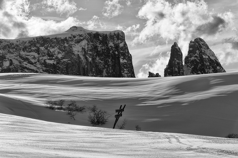
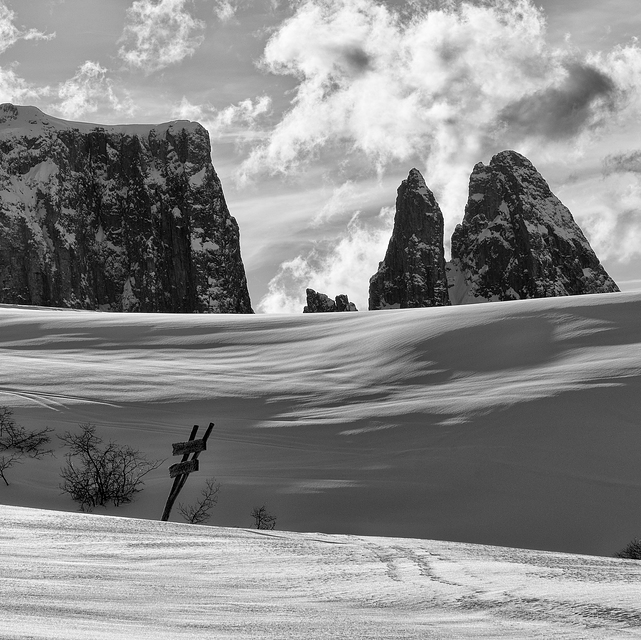
We have skied Alpe Di Siusi 2 years, both times in February. It is a lovely resort with great beginner and intermediate conditions. Not crowded, very scenic and picturesque. I love the wonderful Italian food available in the many small restaurants on the slopes. I am advanced/expert and so there is not much to challenge me but the entire Val Gardena area is close by and you can buy a Dolomite superski pass. One negative is, because the resort was built in organic fashion (used to be individual hotels with their own lifts), there is a bit more of flat areas between lifts than I would like. But it is a great family ski destination.
We have skied Alpe Di Siusi 2 years, both times in February. It is a lovely resort with great beginner and intermediate conditions. Not crowded, very scenic and picturesque. I love the wonderful Italian food available in the many small restaurants on the slopes. I am advanced/expert and so there is not much to challenge me but the entire Val Gardena area is close by and you can buy a Dolomite superski pass. One negative is, because the resort was built in organic fashion (used to be individual hotels with their own lifts), there is a bit more of flat areas between lifts than I would like. But it is a great family ski destination.
Free Snow-Forecast.com weather widget for your website
Embed the Alpe di Siusi weather widget on your site for free. It provides a weekly snapshot of snow and rain conditions across all elevations. Follow the two quick steps to grab your custom code and paste it into your site. Choose between metric or imperial units. Click here to get the code.


 Nearest