Weather Forecast for Wildcat Mountain at1234m altitude
Issued: 7 pm 02 Aug 2026 (local time)
Forecast update in hr min
View forecast
Wildcat Mountainat 1234 m altitude
Issued by Snow-Forecast.com at:7 pm (local time) / 02 Aug 2026
Last 6 daysScroll left for last 6 daysNow
Next 4 days weather summary:
Heavy rain (total 24.0mm), heaviest during Mon morning. Warm (max 20°C on Wed afternoon, min 9°C on Mon night). Winds decreasing (gales from the NW on Mon night, calm by Tue night).
Days 5-7 weather summary:
Moderate rain (total 12.0mm), heaviest on Fri night. Warm (max 22°C on Thu afternoon, min 15°C on Fri night). Wind will be generally light.
The above table gives the weather forecast for Wildcat Mountain at the specific elevation of 1234 m. Our sophisticated weather models allow us to provide snow forecasts for the top, middle and bottom ski stations of Wildcat Mountain. To access the weather forecasts for the other elevations, use the tab navigation above the table. For a wider view of the weather, check out the Weather Map of United States.
Click here to read further information on freezing levels and how we forecast our temperatures.
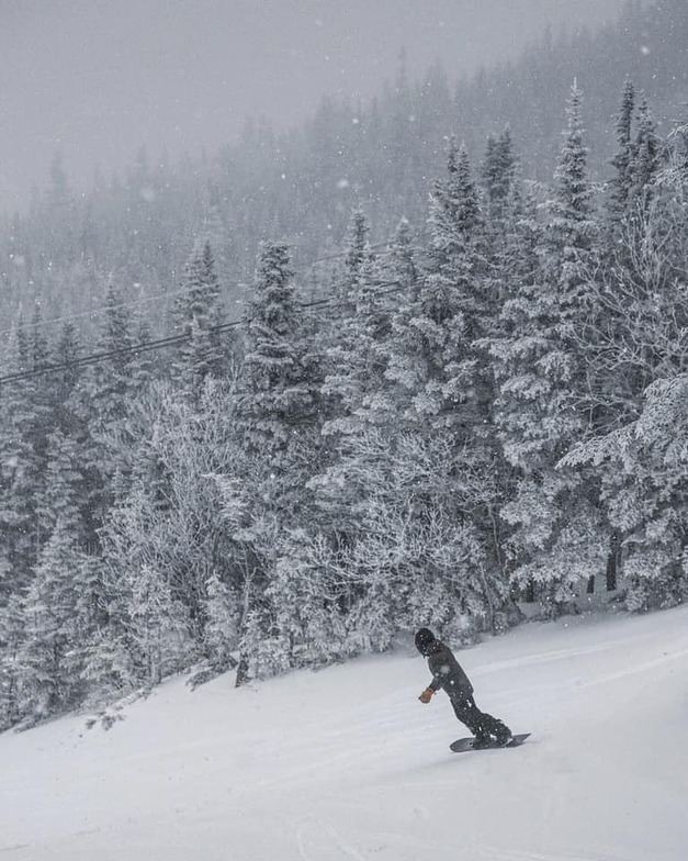
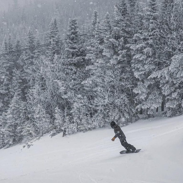
Wildcat is the only resort in New England that can give you the feeling that you're out on the left coast hitting the dry powder stashes! This place may not have many lifts, but what it lacks in quantity it more than makes up in quality. The eponymous express quad will whip you to the top of a full 2200' of vertical in under 10 minutes. As noted in the resort description, this place sits directly across the road from Mt. Washington (yes, that Mt. Washington, the tallest mountain in the eastern US.) While this provides more snow than any other resort in the area, don't be surprised if you show up and the wind is blowing (I've seen it close to 70 steady with gusts over 100mph!) Despite this, I still highly recommend Wildcat. A powder day here is unlike any other experience you'll get on the East Coast!
Wildcat is the only resort in New England that can give you the feeling that you're out on the left coast hitting the dry powder stashes! This place may not have many lifts, but what it lacks in quantity it more than makes up in quality. The eponymous express quad will whip you to the top of a full 2200' of vertical in under 10 minutes. As noted in the resort description, this place sits directly across the road from Mt. Washington (yes, that Mt. Washington, the tallest mountain in the eastern US.) While this provides more snow than any other resort in the area, don't be surprised if you show up and the wind is blowing (I've seen it close to 70 steady with gusts over 100mph!) Despite this, I still highly recommend Wildcat. A powder day here is unlike any other experience you'll get on the East Coast!
Free Snow-Forecast.com weather widget for your website
Embed the Wildcat Mountain weather widget on your site for free. It provides a weekly snapshot of snow and rain conditions across all elevations. Follow the two quick steps to grab your custom code and paste it into your site. Choose between metric or imperial units. Click here to get the code.


 Nearest