Mostly dry. Freeze-thaw conditions (max 2°C on Wed afternoon, min 0°C on Tue night). Winds decreasing (strong winds from the WSW on Thu night, light winds from the W by Fri morning).
Days 4-6 weather summary:
Mostly dry. Freeze-thaw conditions (max 2°C on Fri afternoon, min -4°C on Sun night). Winds decreasing (fresh winds from the WSW on Sat night, light winds from the SSE by Mon morning).
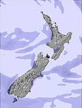
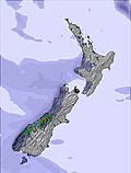
The above table gives the weather forecast for Whakapapa at the specific elevation of 1962 m. Our sophisticated weather models allow us to provide snow forecasts for the top, middle and bottom ski stations of Whakapapa. To access the weather forecasts for the other elevations, use the tab navigation above the table. For a wider view of the weather, check out the Weather Map of New Zealand.
Click here to read further information on freezing levels and how we forecast our temperatures.
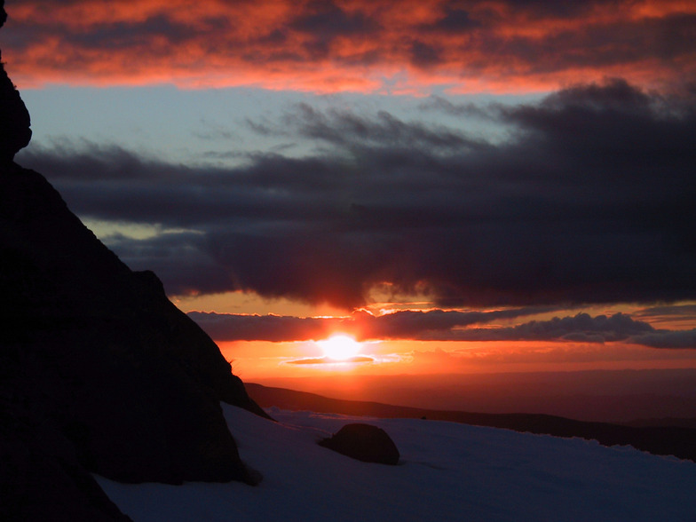
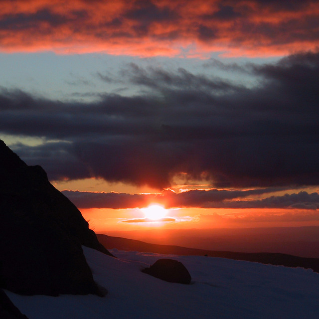
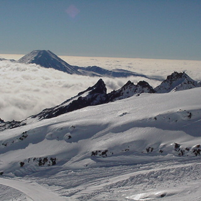
I love this mountain and always will. I may have a different perspective to many because I always stay in one of the ski lodges on Whakapapa. Staying on the mountain is a beautiful experience. I took a party of 10 to stay at our lodge in August 2023 and we all had an amazing time, it was a great snow season. We tried the same again in August 2024 but the snow gods were not forthcoming. However, we improvised and did bush walks, hot pools and other activities to make up for the lack of snow and conditions. I have been coming here since I was a tiny tot in the late seventies so my views are the same, always a great experience at Whakapapa.
I love this mountain and always will. I may have a different perspective to many because I always stay in one of the ski lodges on Whakapapa. Staying on the mountain is a beautiful experience. I took a party of 10 to stay at our lodge in August 2023 and we all had an amazing time, it was a great snow season. We tried the same again in August 2024 but the snow gods were not forthcoming. However, we improvised and did bush walks, hot pools and other activities to make up for the lack of snow and conditions. I have been coming here since I was a tiny tot in the late seventies so my views are the same, always a great experience at Whakapapa.
Free Snow-Forecast.com weather widget for your website
Embed the Whakapapa weather widget on your site for free. It provides a weekly snapshot of snow and rain conditions across all elevations. Follow the two quick steps to grab your custom code and paste it into your site. Choose between metric or imperial units. Click here to get the code.


 Nearest