


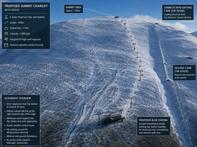
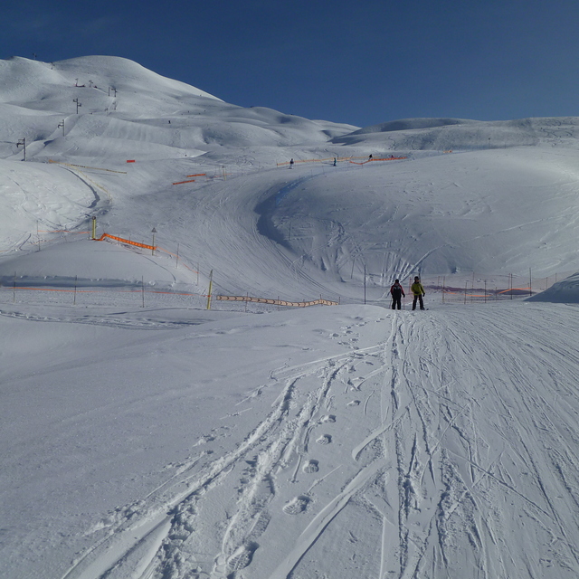
Nevis Range Plans New Chairlift To Make Skiing More Likely Into The Future
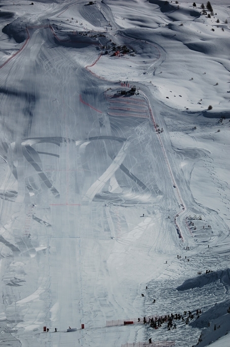
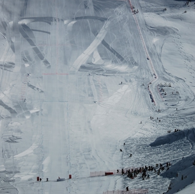
Scotland’s Nevis Range ski area has announced plans to build a new chairlift with the combined aims of making lift-accessed snowsports possible for longer into the future and further boosting their growing mountain biking, walking, sightseeing and international events business.


 Nearest